Kimsiniz?
Lisans eğitimi inşaat mühendisliği, lisansüstü eğitimi de harita mühendisliği/geomatik olan bir üniversite öğretim üyesiyim. Aynı zamanda da, Openstreetmap’i öğrenip Dünya çapındaki milyonlarca kişiyle birlikte harita altlığını geliştirmek ve insani amaçlarla kullanmak isteyen herkese yardım etmeyi amaçlayan Yer Çizenler Herkes İçin Haritacılık Derneği kurucu üyesi ve yönetim kurulu başkanıyım. HOT (Humanitarian Openstreetmap Team) tarafından yürütülen “Crowdsourcing Non-Camp Refugee Data Through OpenStreetMap” projesinin Yer Çizenler ile ortaklaşa yürütülen Türkiye ayağı süresince de HOT Türkiye koordinatörlüğü görevini üstlendim.
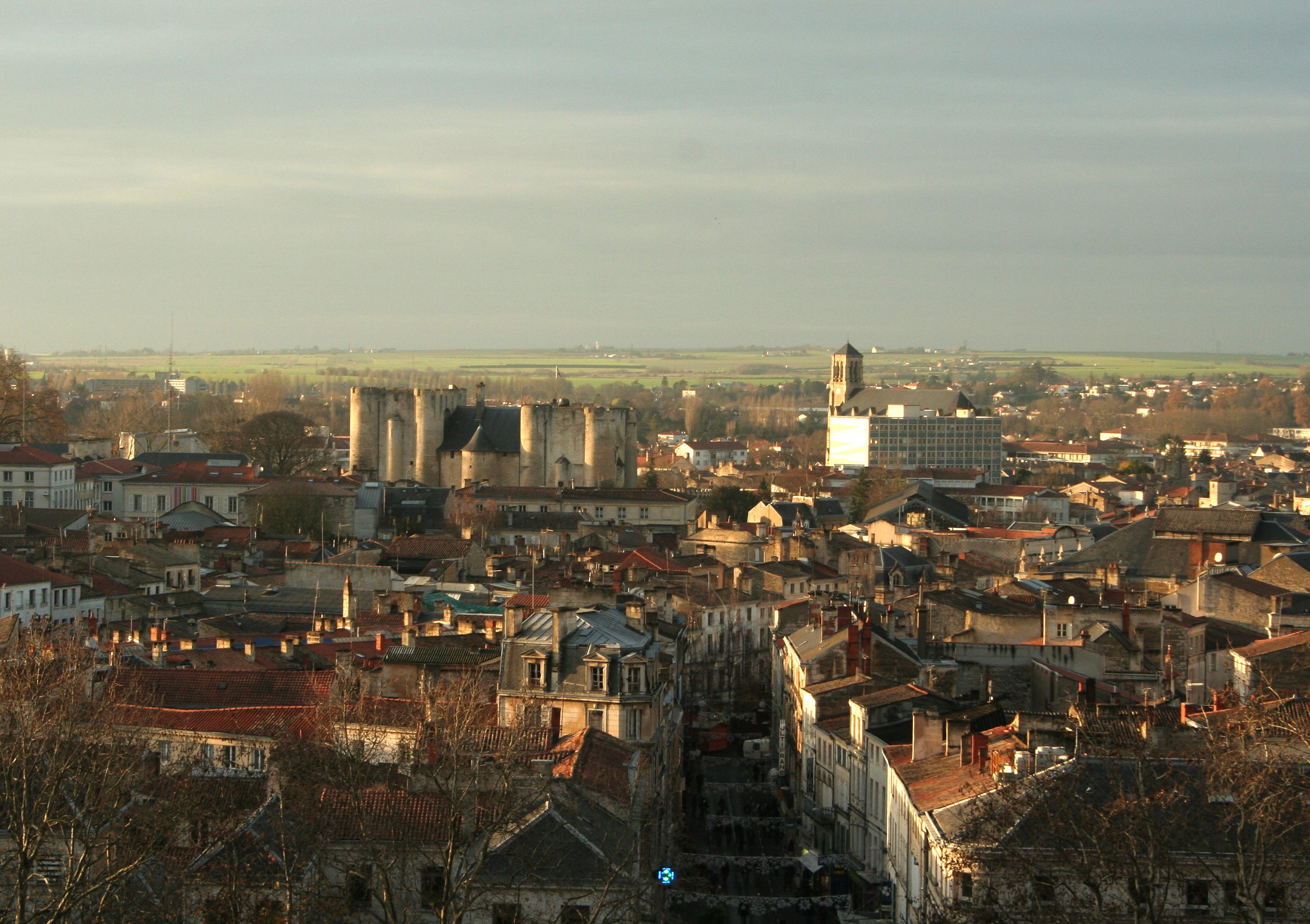
 Sınır Tanımayan Doktorlar ile düzenlenen Missing Maps mapathonu
 ## OpenStreetMap’i ne zaman ve nasıl keşfettiniz?
OpenStreetMap’i 2017 Dünya İnsani Yardım Günü’nde bir haritalama etkinliğinde keşfettim. Sınır Tanımayan Doktorlar (MSF) ve HOT, İstanbul’da bir Missing Maps Mapathon düzenledi. Bu değerli organizasyon ve beni organizasyondan haberdar eden kıymetli arkadaşım sayesinde bu özel günde OpenStreetMap’i keşfetmiş oldum.
## OpenStreetMap’i ne zaman ve nasıl keşfettiniz?
OpenStreetMap’i 2017 Dünya İnsani Yardım Günü’nde bir haritalama etkinliğinde keşfettim. Sınır Tanımayan Doktorlar (MSF) ve HOT, İstanbul’da bir Missing Maps Mapathon düzenledi. Bu değerli organizasyon ve beni organizasyondan haberdar eden kıymetli arkadaşım sayesinde bu özel günde OpenStreetMap’i keşfetmiş oldum.


 Jeffdelonge (Own Work) [GFDL (