OpenStreetMap
SomeoneElse's Comments
| Changeset | When | Comment |
|---|---|---|
| 117081467 | One other thing - the cycleway further south at way/1028660923 currently doesn't actually join Terminus Road. Presumably it does, so that routers can understand that you can get from one to the other? |
|
| 117081467 | Hello, a quick question about the cycleway here. Currently way/763299425 doesn't actually join Terminus Road (you can see that at https://overpass-turbo.eu/s/1fQD ) but a couple of days ago it did: https://overpass-turbo.eu/s/1fQE .
|
|
| 117110427 | Looks updated to me. Maybe it's cached in your local browser? Lower zoom levels might take a while to filter through, but higher zoom levels should update immediately. |
|
| 114441951 | Thanks. What other app was it that you were trying to get it into? Maybe we could work with them so that no-one feels to do this in the future. |
|
| 117101349 | Hola Marczoutenberg y bienvenido a OpenStreetMap,
|
|
| 117101349 | Hello Marczoutenberg and welcome to OpenStreetMap,
|
|
| 117075417 | Edit was fact-checked by someone with local knowledge(!) |
|
| 117075129 | The source here was "the only way to get from A to B" using the cycleway through the building works that someone's already mapped. |
|
| 117064013 | Hello g1750,
|
|
| 114441951 | Hello,
|
|
| 105119282 | Hello jaywhyenecks,
|
|
| 116962327 | What happens if you tap "Report a problem with the map"? |
|
| 116962327 | What _exact message_ does Instagram give you? |
|
| 116000762 | However, while it isn't "wrong" to tag bicycle=no on foot-only infrastructure such as highway=footway it's generally been thought to be unnecessary.
|
|
| 116000762 | Where it isn't clear, I'd agree - I certainly tag foot and horse access as explicitly "yes" on public bridleways because an app developer in Germany or the US isn't going to understand the "designation=public_bridleway" tag. However, I think I actually tag such specific access more than most people do. |
|
| 116962327 | You will need to contact Facebook about that. Their "places" data does not come from OpenStreetMap. |
|
| 116981681 | Hello Andy Parton and welcome to OpenStreetMap,
|
|
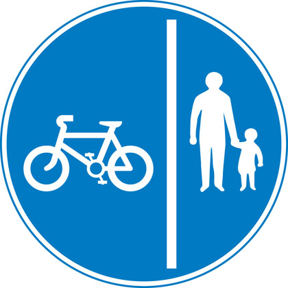
| 116891119 | I don't know what the norm for cycling signage is in Warrington (haven't been there since the 80s) but if it's a cycleway I'd expect something like a blue "cycling" sign - maybe https://assets.publishing.service.gov.uk/media/55ba1284e5274a1521000023/sign-giving-order-route-pedal-cycles-only.jpg or https://assets.publishing.service.gov.uk/media/55ba12b1ed915d155c00001d/sign-giving-order-segregated-cycle-pedestrian-route.jpg , or some tactile paving that says ""cycleway" such as https://www.marshalls.co.uk/commercial/product/tactile-cycleway-unit, or something from the council that says (even if they haven't put up any signage) that they consider it a cycleway. Without any of those it's just a footpath.
|
|
| 116891119 | Hello,
|
|
| 116000762 | (on cycling across pedestrian crossings) the Highway Code's very clear that you shouldn't: https://www.gov.uk/guidance/the-highway-code/rules-for-cyclists-59-to-82 . That also means that it's not normally necessary to explicitly tag bicycle=no on every pedestrian or equestrian crossing (not that you likely have many of the latter in Warrington)
|