 OpenStreetMap

An example of a (small) territory mapped using the OSM Skeleton methodology
Posted by SeverinGeo on 19 August 2026 in English. Last updated on 20 August 2026.Following the launch of the OSM Skeleton methodology (see this post, featured in weeklyOSM #836), I wanted to illustrate it with an example by resolving the main reports in an area of Senegal where the demo is currently being deployed.
At first, I thought about mapping the Koungheul department, but given the scale of the task, I ultimately settled for one of its arrondissements, Ida Mouride. Arrondissements are the third level of administration in Senegal, after regions and departments.
The small size and limited number of Skeleton reports in this district allowed me to complete the task in about fifteen sessions of my daily OSM mapping routine.
The initial situation as of July 31 was as follows, for the entire department:
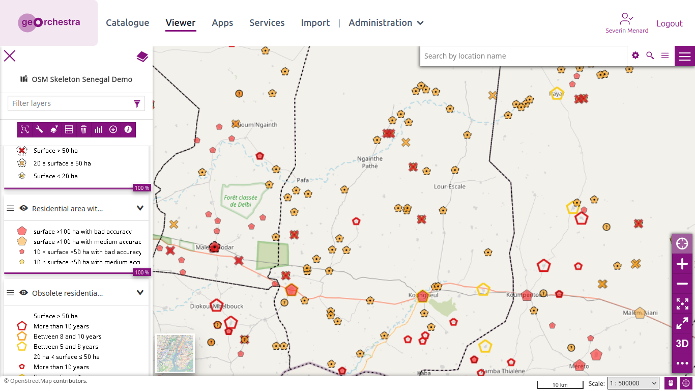
And zooming in on Koungheul: