Anticipatory mapping in action, The story from Kigali with Eco Mappers
Posted by rebekah24 on 10 July 2024 in English.Anticipatory action , mapping for landslides and flooding preparedness in the north western provinces of Rwanda
Project Launch with Online Mapping of 50,000 Buildings
The rainy season, from April to June always reminds us that we need to be more than ready, but one would wonder why? We have our brothers and sisters who reside in northern and western provinces who are periodically exposed to the consequences of climate change and experience extreme weather and heavy rain every season.
We have resolved to not sit and wait again, so we have decided to take action, Not the heavy one to uplift or relocate every one in high risk but do what we do the best. mapping!
And our story here demonstrates that if we map together, we will overcome the disasters together. especially landslides upstream causing flooding downstream on a periodic frequency.
Saturday 27th April 2024 marked the launch of the Anticipatory action.
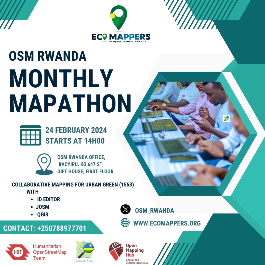
mapping, where young people came together to make their contributions in open mapping, The participation was amazing, more than 45 young people especially those in Universities campus pursuing courses in engineering, agriculture, and environment and so on. The launch coincided with Umuganda Saturday which is widely recognized for its contribution to the cleanliness of Rwanda and Kigali in particular. But people still fail to recognize that the concept of Umuganda, is not limited to physical activities, apart from the main objective to work collaboratively towards a common goal. The communities come together to share their concerns and share more updates on the current affairs on village level as well as on the nationwide programs. ![Alt text]
And this is a special occasion, for the tech communities, it’s a platform to contribute digitally and that’s where the contribution of open street map Rwanda comes in every month.
This special task, comes from the inspiration, though sad one, of the mapping done in 2023 responding to the flooding which outbreak specifically in Northern and Western provinces of Rwanda and claimed around 130 people’s lives. We specifically mapped around 50 thousands buildings involving more than 300 volunteers from all over the world and we did field mapping using an innovative tool FMTM, Field mapping tasking manager, at the testing mode where we collected more than 5000 buildings status after the flooding.
Part of the action taken after the flooding, were the relocation of the people living in high risk zones in those areas and the buffer zone which were introduced around the Mukungwa River.
Anticipatory mapping in action.
The lessons learnt was a need to facilitate people ready to respond especially the youth, the youth need skills and equipment to map. Part of the youth contributing to the Shyira mapping were the ones who had been affected by the flooding on Nyamutera river affluent to Mukungwa River. The 2024 target for detailed mapping, is about mapping and collecting attributes information around Nyamutera river and other rivers which are prone to the flooding outbreak, we will also have a closer look at the causing factors, the rainfall induced landslides upstream, as it has been highlighted as one of many hotspots in need of attention in the wider logic of anticipatory action. We don’t need a story of disasters and from that statement we are ready, we need a resilient youth capable of contributing to their own community and going beyond. We mapped 77%, validated 35%, building - 75,422 building of the region of interest is so far mapped with time , until now as I speak. thanks to the contributors who started as early as possible to make anticipatory action a reality.