
For the past 6 months or so I’ve been doing groundwork to get Botswana up to speed on OpenStreetMap, this includes obtaining information from the Census 2011 to find all villages and using Wikipedia and other sources to find the GPS co-ordinates.
The next step was to expand the WikiProject Botswana page and then to create Trello-taskboards to have an overview of the status of each of these villages and towns and hamlets.
A Twitter-account @mappingbotswana posts updates to the mapping process and finally a Facebook-page was set up to introduce the project to the Matswana (residents of Botswana).
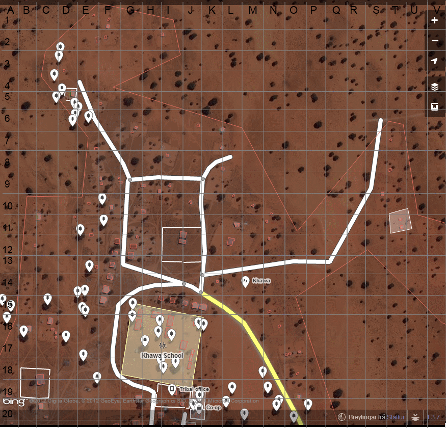
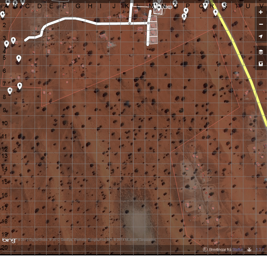
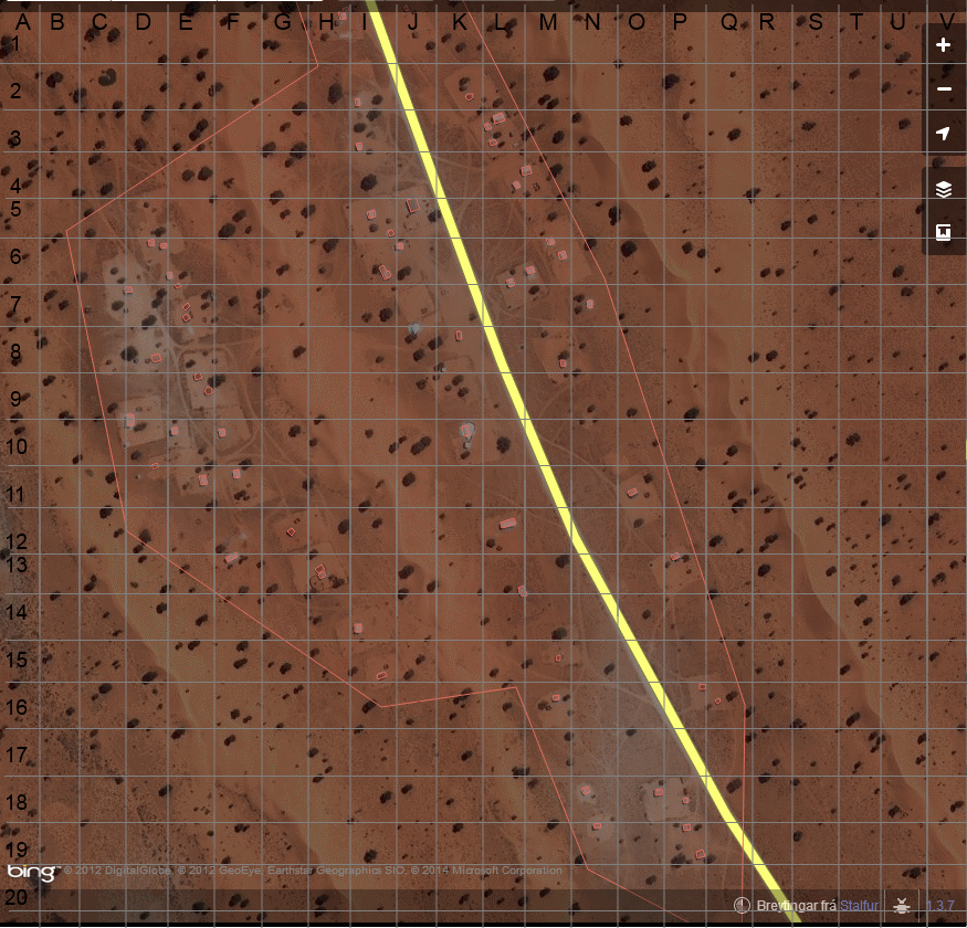
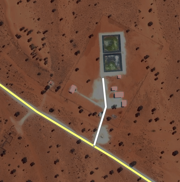
From Facebook a request arrived about Khawa/Khwawa, a small village in the Kgalagadi region. I mapped it quickly using the Bing images and then on Facebook engaged with Tshegofatso Dipatane who provided more detail based on these screenshots I showed her with a grid added to them.
Getting the local people to use iD would of course be optimal but by showing this interaction we can hopefully draw more people into contributing by showing them how easy it can be.
Discussion
Comment from Nakaner on 13 March 2014 at 17:39
If the local people have a poor internet connection, it would be better if they use JOSM. With JOSM you do not need to download a lot of data. Just the raw data from OSM API and the Bing images.
This is only one of the points for JOSM.
When I started mapping in August 2011, I only had a laptop with JOSM, a GPRS connection (ping times 1–8 seconds!). Instead of Bing I used a GPS reciever at that time. Ok, the last thing, the GPS reciever, might be expensive.
Comment from Stalfur on 13 March 2014 at 19:06
Very true Nakaner, I intend to create a guide related to the Mapping Botswana project which details the editors, both on mobile and PC, online and offline.
Comment from Harry Wood on 8 April 2014 at 05:05
Great stuff. This reminds of the 2012 Mali Crisis HOT mapping efforts. We were starting with nothing but bing imagery, and trying to get some basic coverage of the little villages dotted across this vast landscape. User:PovAddict developed a nifty little tool codenamed “kuona” which presented the microtask of spotting villages in bing tiles. We then manually checked through the spots where people had clicked, and added in village centroids or polygons. In many cases that’s as far as we got. I scripted a thing to look at the map data, and cross off the spotted villages which seemed to be already added. We didn’t know the names of course. Then there was work which happened in some cases but not others, to map some details within the villages, and (probably more importantly) connecting roads (dirt tracks) between villages.
You have some interesting approaches here. I’ve heard of trello for project management, but haven’t seen it used for mapping management before! I wonder if there’s a smarter way to track status of such things though, driven directly from the map data.
I think your approach of chatting to people on facebook to find out more about a particular village, is really neat. I’ve used the “Notes” feature as a super-simple way of getting people like this to contribute without needing to learn editing, but maybe there’s something even simpler about your approach of presenting them with these grids.
Comment from Stalfur on 8 April 2014 at 08:43
Thanks Harry.
I’ve been thinking about a Quality Inspector tool that digs through a data dump (I’ve been using Iceland as guinea pig) and lists various things in it, for example under each settlement it lists if it has a school or a firehouse or police station or whatever and the user can put an expected number in maybe (for example, Iceland as a whole should contain about 15-ish firehouses - will the output match that?). So this is not a Quality tool like current ones (which checks if the data is valid) but publishes summaries sort of for easier eyeballing of deficient data.
For example if an entire region lacks schools, that seems very strange and so would merit a second look. So far these ideas swirl around in my head but actual solving using programming is slow going.
I’m working on a new thing, I recently got a data dump from the land registrar (so mostly farms but also some other stuff) and I slapped some filters on it and am working on AJAXing it up, so you could use your OSM-login and then work on stuff on the list and tick the appropriate boxes (from left to right, is it on the map, is it connected to the road network, are buildings mapped, do we have imagery of it or is it lacking).
So it’s a beta version but once done it should be a tool that people can easily do a couple of defined things from, they click on an item, get pointed to a location on the map, open up their favorite editor, add any of the items requested, save and then tick off which parts work. Also since no login is required for viewing the project page we can allow anonymous users to use this to find a location on the map where they can add a Note if there is something special about that place (farm is now abandoned or has a church or whatever).
To be extended for other similar things, possibly moving the Botswana settlements to this format (so a seperate Trello login becomes needless). In my mind a lot of people would be willing to help with clearly defined and small tasks like these, they just feel daunted by all the stuff they find when they casually log in for the first time and see hundreds of polygons and paths as they look at their home location in a city.
Comment from Harry Wood on 8 April 2014 at 09:27
Ah yes. I see you’re way ahead of me with a data-driven tracker. So we could progress Mali village coverage now with an auto-generated list like this which examines the data in each village to detect some checkpoints such as… “Yes/No the village is mapped as a polygon rather than just a node”, “Yes/No the village has at least one highway trailing out the edge of it” (connecting roads), “Yes/No the village has at least one short highway within the village” (road details within the village) That’s all doable from imagery. Then there’s things which require more local knowledge such as: “Yes/No we have the name of the village”, “Yes/No a school building is mapped”.
A data driven tracker like that could be display-only, but useful if it updates quickly somehow (minutely diff powered) or maybe has an update button for a mapper to trigger it to rescan a village.
When you say “use your OSM-login and then work on stuff” You mean like a acquiring/locking the task you are working on?
Comment from Stalfur on 8 April 2014 at 09:49
Indeed, your Mali example is what i was thinking of with my “Quality Inspector”. In addition it could look up in the Nominatim and other GPS sources for probably village names. I’m not very proficient with the .osm scanning which is hindering my development there, I moved onto other tasks for now but keep this in the back of my mind. My ideas are mroe numerous than lines of code I’m managing!
This red/green webpage is more like the Trello taskboard, I have a defined list of GPS co-ordinates (under free license) which I then manually tick if present or not. Some of these already exist on the map and so I simply tick them to green when I find them. By default I put everything to red and not into a 3rd neutral state, however I might add the 3rd state as “not applicable” for example for places with no roads at all or no buildings at all.
By OSM-login I mean I am going to add OSM-auth to it so you can login there and tick the boxes as applicable from red to green or green to red. As for reserving a task I’m thinking about it but each task is usually small enough that I’m not too worried about it at the moment, but might be useful for bigger things like the Botswana villages.
If the taskboard tool gets bigger coverage and maybe scores of people using it intermittently then maybe some gamification could be introduced (OpenBadges for completing 10 farms or something) if I deemed it could help with for example kids who are mapping 10 farms as an assignment for school. I’ve been in contact with some teachers and they are interested in adding OSM and other similar open projects on the curriculum to teach students that they don’t have to be only data consumers, they can also influence and put their efforts on the map/Wikipedia/Gutenberg etc. Another pet project of mine!