Will it be muddy? Showing good quality paths differently
Posted by SomeoneElse on 16 May 2026 in English. Last updated on 18 May 2026.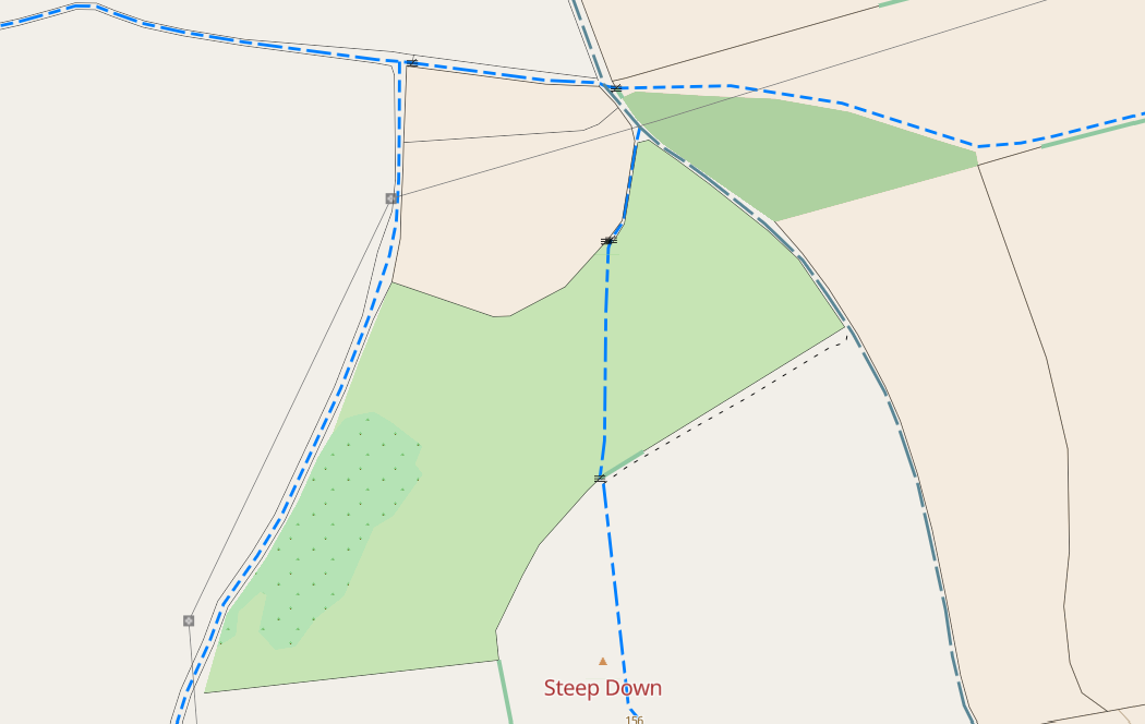
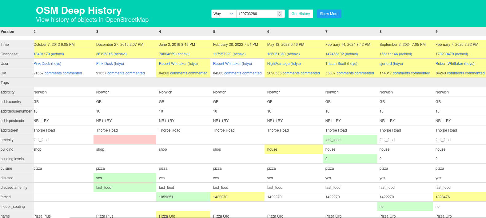
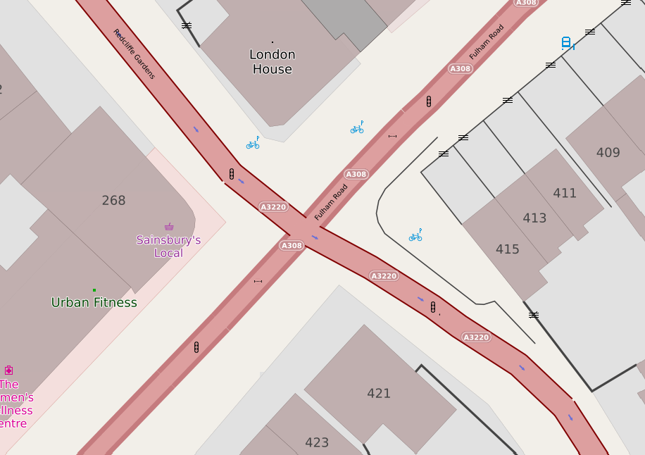
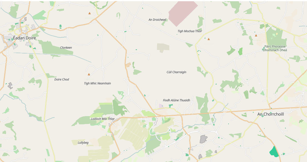
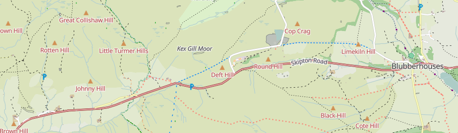
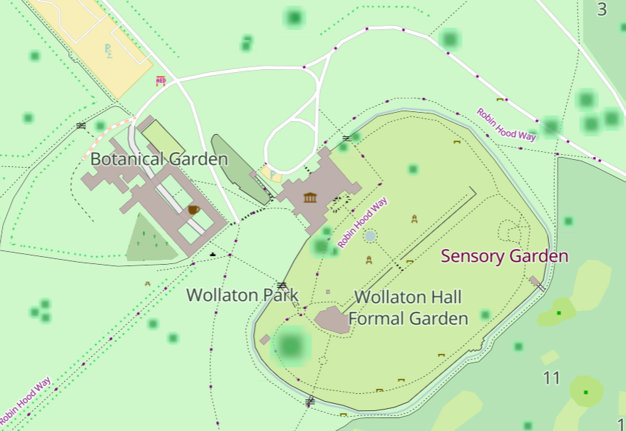
Over the last few weeks I’ve improved the way that paths and tracks are shown on map.atownsend.org.uk in both the raster and vector versions. The aims were:
- Improve clarity, so that their visibility in e.g. nondescript woodland was better
- Improve consistency, so that the display of them on vector and raster looked similar to each other, and the “visual weight” of each class broadly matched when looked at together on a map.
- Reduce confusion so that two different things were not shown in similar ways.
- Show “good quality” paths and tracks (e.g. paved and compacted gravel surfaces) differently to other ones to help answer the “will it be muddy” question.