
Special interview about Brazilian NSDI on the first anniversary of YouthMappers UFRJ
Posted by Raquel Dezidério Souto on 16 March 2024 in Portuguese (Português).🍾 YouthMappers UFRJ celebrates its first year!
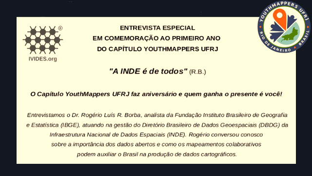
The YouthMappers UFRJ (Rio de Janeiro, Brasil) completed one year on March 14th, 2024.
And to celebrate this special date, we interviewed Dr. Rogério Luís R. Borba, analyst at the IBGE Foundation and manager of the Brazilian Geospatial Data Directory (“Diretório Brasileiro de Dados Geoespaciais, DBDG) of the Brazilian National Spatial Data Infrastructure (“Infraestrutura Nacional de Dados Geoespaciais”, INDE).
🎥 Watch on IVIDES.org’s YouTube channel.
Rogério talked to us about the importance of open data and how the collaborative mapping can helps Brazil in the production of official cartographic data. The interview was conducted by Dr. Raquel Dezidério Souto and all details can be found at:
🔗 https://ivides.org/youthmappers-entrevista-rogerio-borba
The YouthMappers UFRJ chapter is an open collaborative mapping initiative, result of a partnership between the Virtual Institute for Sustainable Development - IVIDES.org and the Laboratory of Cartography - GeoCart-UFRJ, chaired by Dr. Raquel Dezidério Souto.
![]()
![]()
Discussion