Online mapping party on building coverage in Penza, Russia
Posted by Kachkaev on 12 April 2021 in English. Last updated on 22 April 2021.ℹ️ This diary entry is a copy of my twitter thread
👀 Russian translation by Google + localised visualizations
A few weeks ago we kicked off an online OpenStreetMap mapping party in Penza, Russia. Our main focus was the building coverage and I’m extremely happy to share the results!
A geovis is worth a thousand words, so:

The key sources for the building outlines where Bing and Maxar imageries. To fill in most of the missing addresses, we looked into the governmental land registry [ru]. It became a permitted data source for OSM quite recently. Some folks also checked Yandex Panoramas [ru] to read address plates or to derive 3D building shapes. This source was also allowed because the OSM community got an explicit permission back in 2011.
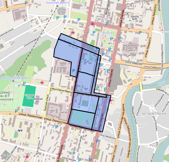
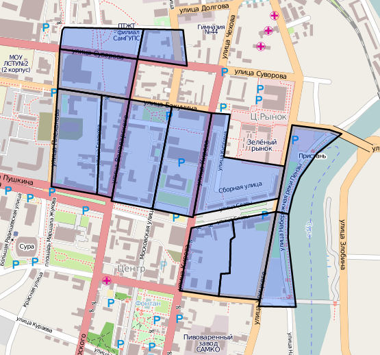
To help us coordinate the efforts, the area was turned into a ‘mapping cake’ on MapCraft. People grabbed ‘cake slices’ and mapped within them, thus reducing the chances of conflicts in data.