
Trying to get involved in OSM in BD. Have used open source maps and tools a lot and wanted to really help in my hometown where I constantly find data lacking especially geo data.
Trying to get involved in OSM in BD. Have used open source maps and tools a lot and wanted to really help in my hometown where I constantly find data lacking especially geo data.
Discussion
Comment from PlaneMad on 19 August 2015 at 12:59
We have the same problem in India where geospatial data is never released by the Gov. Nothing like a good neighborhood mapping party to for some high detail maps.
This is the area near office where we do regular field mapping. Much better than what any company or Government can collect!
http://www.openstreetmap.org/#map=17/12.98072/77.63663
Comment from ausiddiqui on 19 August 2015 at 17:45
That looks amazing. I went through your wikipedia page, and it seems you’ve been at this for a while. Would love to get your perspectives on the challenges faced, what worked, what didn’t, since India and Bangladesh share a lot of similar challenges - especially in terms of approaching institutions for information that can further the process really fast. I look at the map of just my neighborhood in Dhaka and how far its left to get it close to my old neighborhood in San Francisco and I get anxious! But the scale is even more immense in India!
I am trying to get the shape files for certain terrain and administrative regions and also for lat/long of public institutions like schools, medical and government service centers in Bangladesh and it has been slow and a lot of red tape so far.
Comment from fidelcastrogis on 20 August 2015 at 17:03
@PlaneMad geospatial data is released by the government, you just have to know where to look for it.
https://revolutionarygis.wordpress.com/2014/01/18/india-state-district-and-taluk-shapefile/
https://revolutionarygis.wordpress.com/2014/02/01/india-gis-data/
https://revolutionarygis.wordpress.com/2014/06/19/india-village-shapefile/
https://revolutionarygis.wordpress.com/2015/08/10/2015-maharashtra-village-shapefile/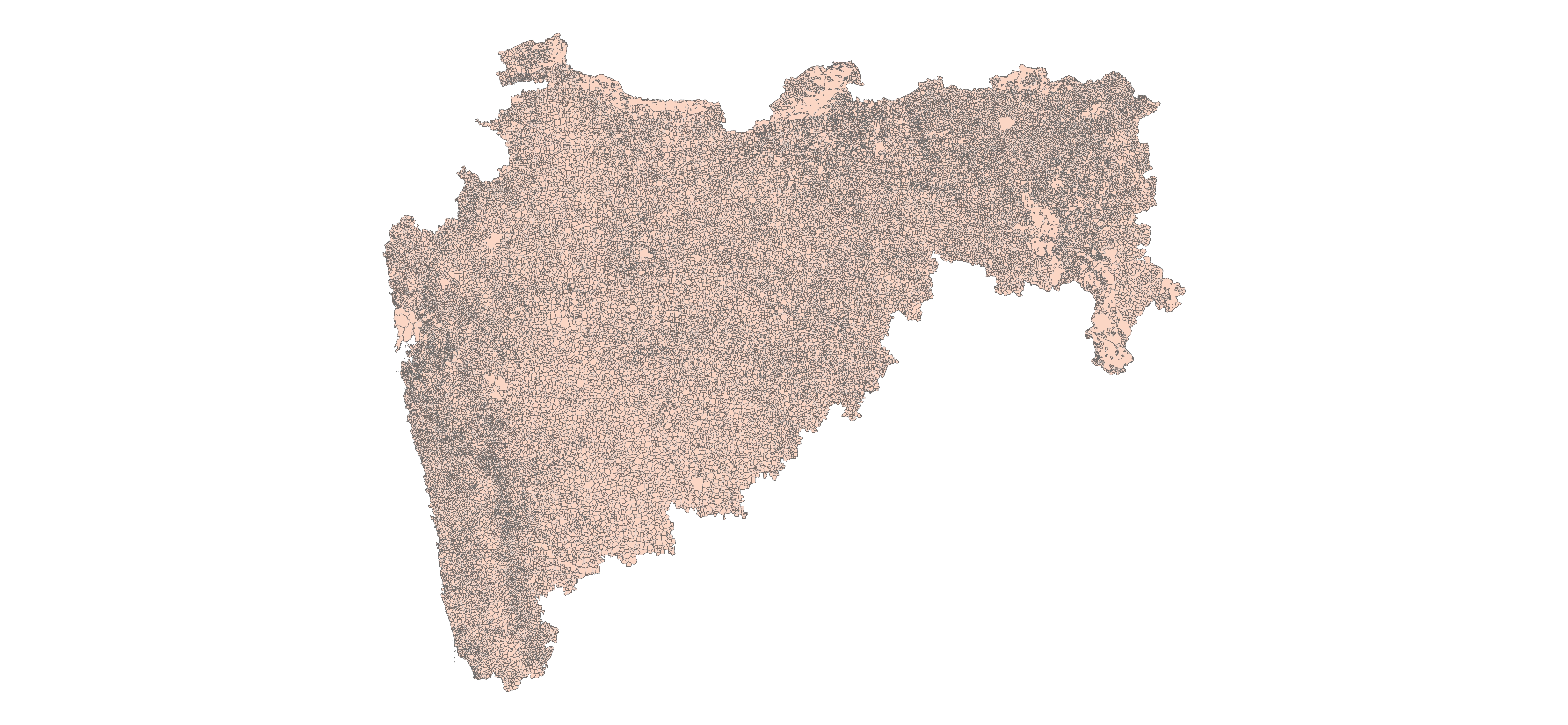
Is mapbox struggling in India?
Comment from PlaneMad on 21 August 2015 at 02:33
It was during my undergraduate years in 2008 that I heard about OSM and went knocking on the doors of my city officials to see if they had any existing maps that could be used. Made some friends in the GIS dept there and gave me access to their many CAD based map prints. They were of terrible quality and not to scale, but had the street topology and names that I could use in OSM. Much of Chennai was mapped by me this way, but other cities essentially were mapped just by local volunteers and many big cities remain empty to this day.
You might find my talk at SOTMUS this year of interest, where I shared my experiences doing this in India. You can watch the lightning talk here.
@fidelcastrogi to clarify, there is no open GIS data available that we can use for OSM. The national mapping agency Survey of India maintains tight control over the availability of maps and even accessing them involves a lot of paperwork.
Comment from Jorieke V on 21 August 2015 at 11:31
Get in touch with http://www.openstreetmap.org/user/aHaSaN or http://www.openstreetmap.org/user/tasauf1980 Or search for the OSM Bangladesh facebook page and post a message overthere! A lot of stuff going on in Bangladesh for the moment :-)