We had another great OSM meetup today in Perth (Western Australia). This time we were in Fremantle, where there’s lots of 19th century buildings that need address data and business information, as well as a fair bit of clearing up confusion about where one building ends and another starts. About eight people came.
We started in the café, fuelling up with coffees and pastries, and talking about how to map, what to map, and the general semantics of footpaths and roofs.
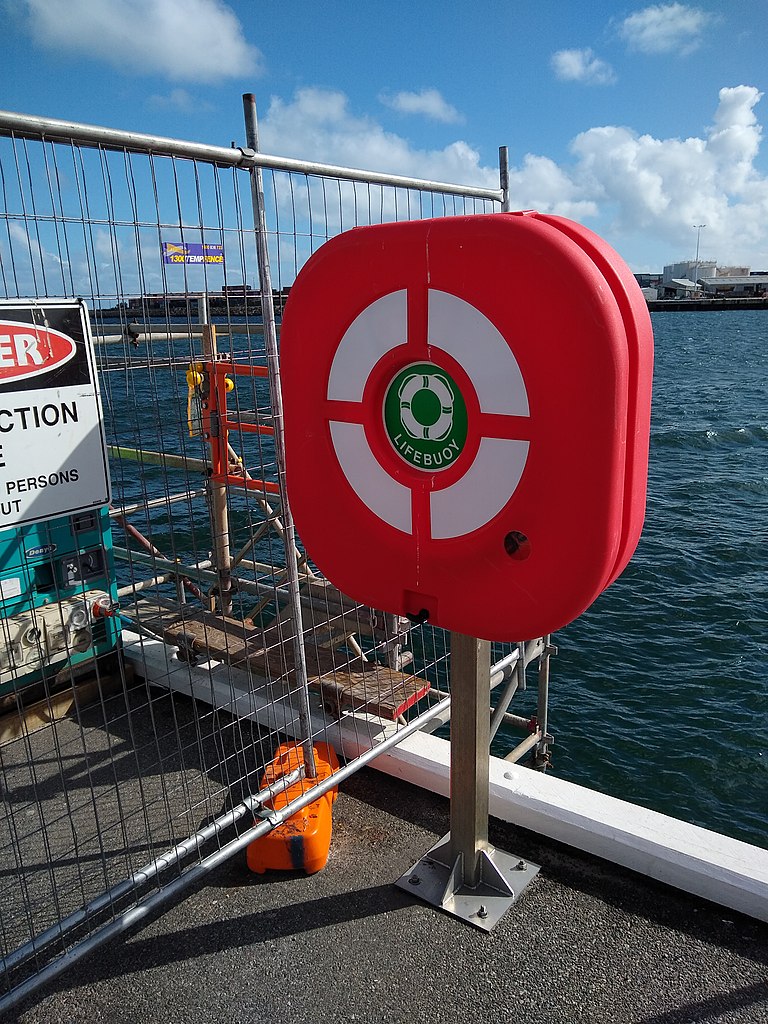
Then we wandered around for an hour and a half or so, splitting into two groups — one went down to the harbour and found lifebuoys, statues, and memorials to seafaring immigrants — the other attempted to add more detail to the University of Notre Dame’s campus, but actually ended up mostly working on addresses, businesses, and trying to make sense of building façades.
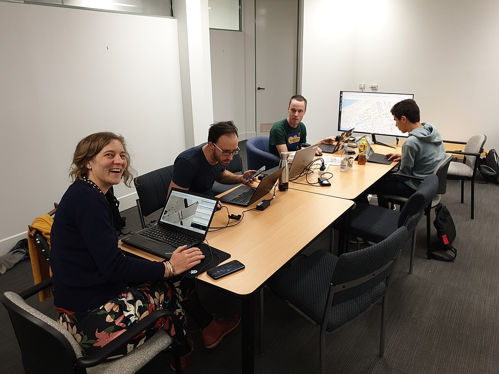
The rain came, and we stopped in at the Grumpy Sailor to pick up bagels and take them back to an office space that we have use of. Here the laptops came out and JOSM was fired up.
(This photo was taken a bit late, and a bunch of people had already left.)
It was great to meet some new mappers, and work on some bits of the map together (that still need more work… of course). I even managed to talk to some people on the street about what we were doing! They were “politely interested”.
We’re uploading photos of the day to Category:OSM mapping party, Fremantle July 2022. (Author credits for the above photos are on their pages on Commons; click ‘em for info.)


Discussion
Comment from CVCJ on 10 July 2022 at 09:11
Thanks for sharing your knowledge and expertise. I’m looking forward to doing more edits 😄
Comment from Cascafico on 19 July 2022 at 09:30
Nice post :-)
about buildings, did you evaluate Microsoft global building footprints ODbL release? I tested some cases in Europe, but high building density means a hard manual work to prepare data for import. I think Australia could be an easier case.
Comment from Sam Wilson on 19 July 2022 at 11:29
@Cascafico: yes, I’ve looked at the Microsoft footprints dataset, it’s certainly useful. I have found, however, that it’s pretty much as much time-consuming to clean them up as it is to trace from scratch, especially if one has walked the street beforehand and can better interpret things like different building parts. Probably more suburban areas like you link to are easier.
Comment from Cascafico on 19 July 2022 at 12:25
I agree. Take a look at Mullaloo suburb.