 OpenStreetMap

Native Mappers Begins Its Journey at HNBGU: Encouraging Students to Explore Open Mapping
Posted by nativemapper on 16 November 2026 in English.Image: Students and faculty coming together to build the Native Mappers community at HNBGU, Uttarakhand.
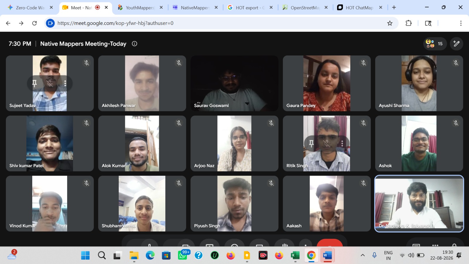
| 22 August 2026 | Department of Geography, Chauras Campus, Hemvati Nandan Bahuguna Garhwal University, Uttarakhand, India |
A new student-led mapping initiative, Native Mappers, is taking shape at Hemvati Nandan Bahuguna Garhwal University (HNBGU), Uttarakhand. The initiative aims to bring university students closer to OpenStreetMap (OSM), collaborative mapping and the wider open mapping community.
The first meeting at the Department of Geography, Chauras Campus, introduced students to the idea of building a university-based mapping community where they can learn practical skills, contribute geographic information and work together on local mapping projects.
Connecting Local Mapping with Global Opportunities
During the introductory talk, Dr. Narendra Kumar (OM GURU) discussed the importance of open mapping, community participation, and the growing role of geospatial technologies in education, research, and humanitarian work.
Drawing on his engagement with the Humanitarian OpenStreetMap Team (HOT), the HOT Open Mapping Hub ecosystem and the Open Mapping Guru Fellowship, Asia-Pacific, he shared perspectives on how students can become part of the wider open mapping movement.
The discussion highlighted the importance of OpenStreetMap as a collaborative, freely accessible geographic database and the opportunities it offers young people to contribute to humanitarian mapping, disaster preparedness and community development.
Students Taking the Lead
Inspired by YouthMappers’ student-led chapter approach, Native Mappers aims to give students an active role in building and managing their mapping community.
The proposed chapter structure includes a President, Vice-President, Secretary, and student leads for mapping, training, research, outreach and communication. Faculty mentorship will provide academic guidance, while students will take responsibility for organising activities and developing projects.
From Training to Community Mapping
The proposed activities include:
- OpenStreetMap introduction and practical editing.
- GIS, GPS and field-mapping training.
- Collaborative mapathons and mapping campaigns.
- Mapping roads, health facilities, educational institutions and water resources.
- Humanitarian and disaster-response mapping.
- Community-based research using open geospatial data.
The initiative also aims to connect with colleges, universities and other mapping communities to encourage wider student participation.
Starting Locally, Connecting Globally
Native Mappers begins with a simple idea: students should have the opportunity to learn mapping by actually contributing to maps.
From the Garhwal Himalaya to the wider open-mapping community, the initiative hopes to encourage young people to document their surroundings, share local knowledge, and contribute to geographic information that everyone can use.
Map Local. Think Global.
Learn • Map • Research • Serve
Website: https://nativemappers.github.io/
Instagram: https://www.instagram.com/nativemappers/
Discussion
Comment from calculavalorhoy on 18 November 2026 at 12:00
¡Qué buena iniciativa! Me encanta que los estudiantes empiecen mapeando su propio campus y su comunidad. Mucho éxito con Native Mappers, ojalá más universidades se animen a hacer lo mismo.
Comment from mobileGEO on 18 November 2026 at 19:29
Congratulations on launching Native Mappers — this is a very promising student-led initiative, and I really like the combination of local field knowledge, practical OSM editing, GIS/GPS training, and community research. Starting with the campus and nearby communities is an excellent way to turn open mapping into a tangible learning experience.
The planned focus on roads, health facilities, educational institutions, and water resources can create genuinely useful local data, especially when contributions are verified on the ground and documented with clear sources. Consistent tagging, quality checks, and a shared onboarding workflow will help new mappers contribute confidently while keeping the data useful for the wider OSM community.
As someone involved in OSM mapping, data quality, and technical documentation, I would be happy to support Native Mappers with mapping workflows, tagging guidance, mapathon preparation, quality-assurance practices, and documentation of local mapping projects. I look forward to seeing how the initiative develops — Map Local, Think Global is a great motto for building both local capacity and connections across the open mapping community.