
Bring together efforts for the promotion of public transport data standards, for a sustainable development
Posted by mapeadora on 9 August 2018 in English. Last updated on 10 August 2018.On behalf of the organization where I work, World Resources Institute Mexico for the Latin America area, and also for my efforts as part of OpenStreetMap Mexico, I participated in the State of the Map 2018 in Milan. I got a scholarship from the organizers, for which I am very grateful. I presented a state of the art on public transport data standards such as can be used in countries not very advanced technologically speaking and with low technical capacities in governments to integrate data to urban planning, with the challenge then of promoting useful and timely information. I finally presented the interest for several global organizations, to allow improvements in this topic, to group and concentrate resources, approaches and debates: data repositories, technologies, data collection methodologies and also form a visible, accessible, friendly platform and perennial to link actors and share experiences.
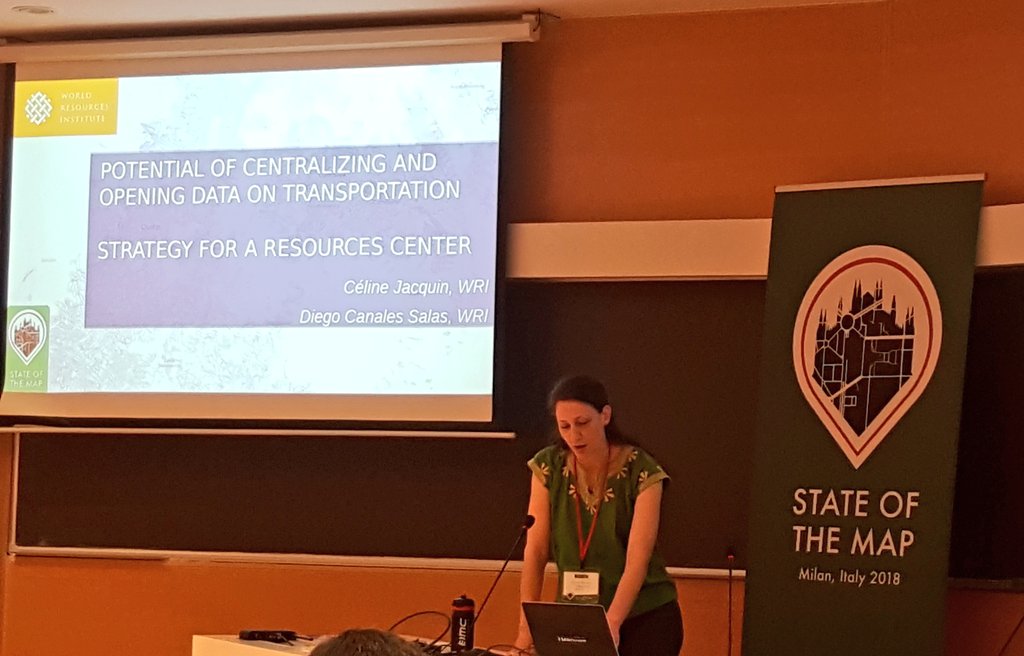 It can be viewed at minute 30:00 of the video of the event.
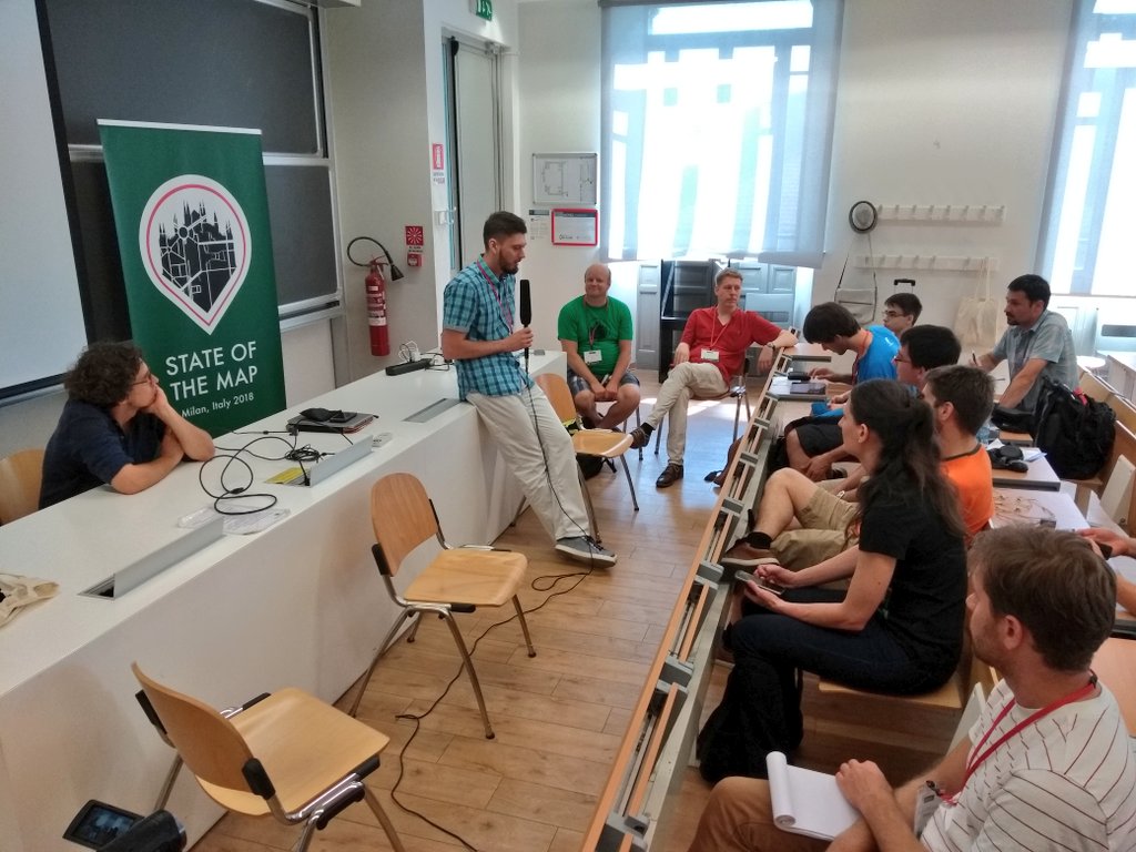
This participation was very useful to personally meet part of the working group on transport in the OpenStreetMap community, with which we must continue to build, and debate about the best opportunity -depending on each situation and the very variable characteristics of transport systems in each city and country- between producing first data in OpenStreetMap and exporting them using OSM2GTFS tools or to other formats; or produce first, under controlled conditions, a basic format (shapefile) and integrate or convert to any other platforms and format, where OSM becomes one of the recipients among others. The conversion and integration of data in one case or another have different difficulties, although the second option makes the use of OpenStreetMap much more laborious.
The main challenges of these alternatives, which still need to be discussed, seem to be:
- Do not lose certain data about the service that would have no place in the OpenStreetMap tag system but are essential for the fine regulation of the service: as the variable speed averages of the transport units according to the time of the day and period of the year, the frequency and times of bus passage for example
- The development of data extraction and conversion tools (such as OSM2GTFS, etc.) and routing, with interfaces designed for users with low technological level and low financial resources, considering that most of the developments carried out in the OpenStreetMap sphere they are the fruits of voluntary work and of people with a high level of technology (also coming mostly from countries with access to data and particular urban problems in Western countries). For the developing world, this last point is still a limitation for the full use of OpenStreetMap. The funders could contribute a lot in this direction.
 We agreed to be in contact and continue in the construction of the subject in the transit mailing list
Discussion
Comment from Mapanauta on 15 August 2018 at 05:00
Congratulations Mapeadora!!! Very interested topic, please share the advances of the achievements when available :)