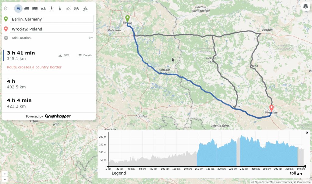
We released version 11.0 of the GraphHopper routing engine.
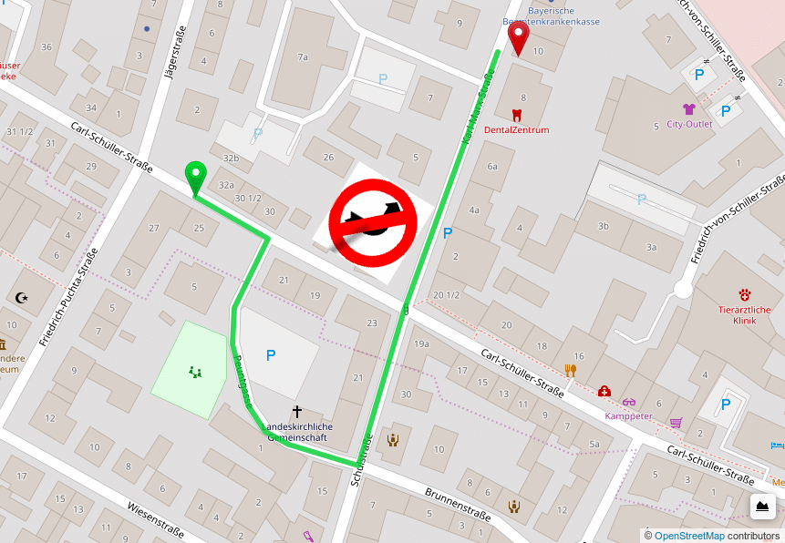
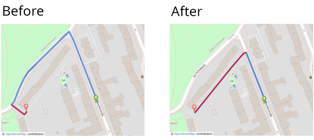
One of the new features is a better private road avoidance:
Read more about it in the blog post:
https://www.graphhopper.com/blog/2025/10/14/graphhopper-routing-engine-11-0-released/
Thanks to all contributors!