
In some rare streets, the driving side of the street can be inverted (usually to help the flow of traffic of adjacent streets). For example, in a country where right is the normal driving side, there may be some exceptional streets where left is the driving side.
This kind of exception can be mapped in OSM with the tag driving_side=left/right.
 > Defines which side of the road vehicles must legally use.
Cheers, John
Discussion
Comment from EdLoach on 20 January 2015 at 15:38
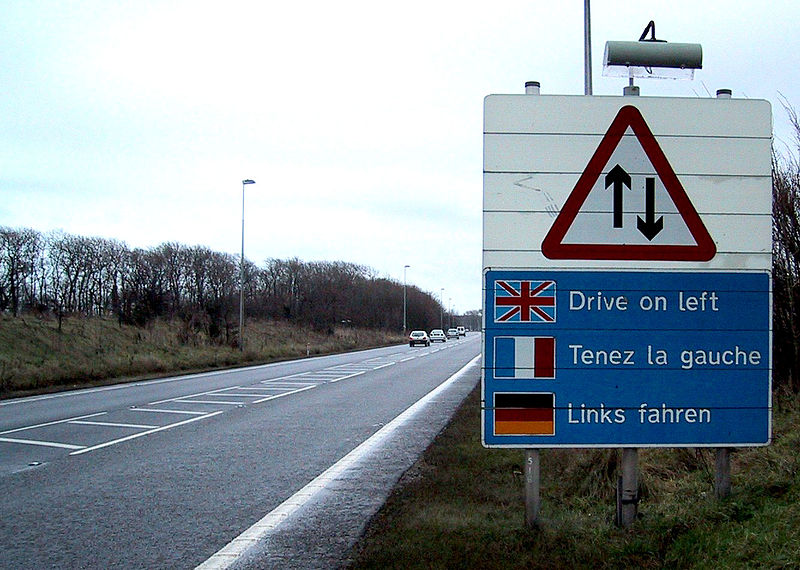
Looking at the usage figures in taginfo (as displayed in the wiki page you linked to) I wondered if this tag was used for any exceptions, so followed the overpass link to find this example, and this one - I’m suitably amazed that there are such roads and that OpenStreetMap has a tag for them.
Comment from TomH on 20 January 2015 at 15:59
I’m not sure I’m buying that one in Twickenham. Evidence suggests it certainly was one way going south and I think it’s highly unlikely that a public highway would have changed to require driving on the wrong side.
There is, fairly famously, one road in the UK where you drive on the right and I always led to believe it was the only one. There is a note on it (osm.org/way/4253954) which agrees, although it is missing the
driving_sidetag.Comment from TomH on 20 January 2015 at 16:03
Looks like there is a small piece of the one in Twickenham marked in that way. My guess would be that it’s not public highway and it was the car park operator who applied those bizarre markings.
Comment from jgpacker on 20 January 2015 at 16:05
Yes, they can be pretty rare, but definitely exist. All of the cases I personally saw had pretty visible signs and markings; and were in particular circunstances that made the traffic flow better (it’s hard to describe).
Comment from jgpacker on 20 January 2015 at 16:13
Oh, by the way, it’s more common to see an inverted driving side in parking aisles than in normal streets.
Comment from Richard on 20 January 2015 at 18:54
I wonder how you’d tag the short section of the River Cam where boats should follow the left bank, as opposed to the right bank (which is standard everywhere else on the UK waterways). ‘driving’ doesn’t seem the correct word for a boat but maybe I should just let that slide…
Comment from xyzl on 22 January 2015 at 16:56
Here’s a picture of the one in Twickenham
Comment from Govanus on 22 January 2015 at 21:01
Having looked at jackfifield’s picture it feels more like a private site as the signs used by the operater are not correct to the highway code.
The problem is that both the one-way and the no entry would apply to an entire carrageway regardless of which side of the road they were placed.
In fairness as its private land the operator could invent there own signage (like at some highway service stations and shopping parking roads, though comprehension is usally best served by a degree of conformity.
In the south of Oxford, UK there is a business estate that had a roundabout at the end of a front drive. As the front drive was laid as an all-purpose dual-carageway (4 lanes in all) the sidewalk that ran around the roundabout went though a very short paved path at the end of a bush (growing down the central reservation) as the plants grew up tall the site operater erected a sign faceing the oncoming traffic approching the roundabout (from the outside the park), that I guess was suppose to warn people about pedestians.
Unfortunatly the sign chosen was a UK version of No Pedestians! So as it faced away from pedestians going to cross it was ignored by them and sent the inverse message to any drivers who could be justified to expect no pedestians crossing beyond that point. Needless to say it was just ignored.
The site is at the rounderbout here (drive comes in from the north):- )
)
Comment from Govanus on 22 January 2015 at 21:02
Having looked at jackfifield’s picture it feels more like a private site as the signs used by the operater are not correct to the highway code.
The problem is that both the one-way and the no entry would apply to an entire carrageway regardless of which side of the road they were placed.
In fairness as its private land the operator could invent there own signage (like at some highway service stations and shopping parking roads, though comprehension is usally best served by a degree of conformity.
In the south of Oxford, UK there is a business estate that had a roundabout at the end of a front drive. As the front drive was laid as an all-purpose dual-carageway (4 lanes in all) the sidewalk that ran around the roundabout went though a very short paved path at the end of a bush (growing down the central reservation) as the plants grew up tall the site operater erected a sign faceing the oncoming traffic approching the roundabout (from the outside the park), that I guess was suppose to warn people about pedestians.
Unfortunatly the sign chosen was a UK version of No Pedestians! So as it faced away from pedestians going to cross it was ignored by them and sent the inverse message to any drivers who could be justified to expect no pedestians crossing beyond that point. Needless to say it was just ignored.
The site is at the rounderbout here (drive comes in from the north):-
Comment from xyzl on 24 January 2015 at 00:58
FWIW, the car park appears to be run by the local council, with their logo posted on signs, etc. rather than privately owned.
Comment from dieterdreist on 29 January 2015 at 11:38
We do have a situation in Rome where normal driving sides are inverted, but as it is a dual carriageway there is no need for the driving side tag ;-) osm.org/?mlat=41.86051&mlon=12.47572#map=18/41.86051/12.47571