
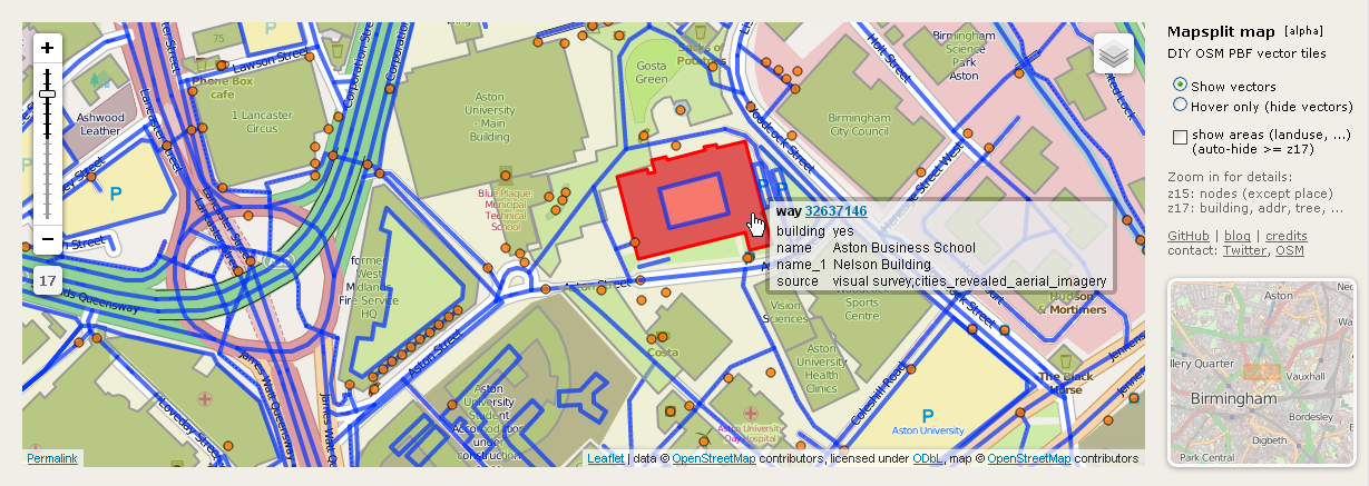
I’m working on a simple, do-it-yourself solution of generating your own vector tiles and using them in the Browser. My approach is generating vector tiles in the PBF format with the Mapsplit tool from a downloaded extract and loading them directly from Leaflet - no database and no special vector tile server involved.
I uploaded Birmingham (West Midlands extract from Geofabrik) as an example area - this is very alpha and inefficient right now, so it’s slow and might also crash your Browser:
(best viewed with Chrome/Chromium, Firefox should also work)
For a few more details about that see my short talk at SotM at Sunday, 16:30 in the Main Lecture Theatre.
Discussion