
Co-Creation Workshop for Road Network Mapping in Karnali, Nepal
Posted by frozenrabi on 31 July 2025 in English.Co-Creation Workshop for Road Network Mapping in Karnali, Nepal
Date: 28 March 2024
Title: Planning & Co-Creation Workshop on Mapping Road Network of Karnali
Venue: Care Nepal, Sanepa
Organizer: Open Mapping Hub Asia Pacific
Led By: Rabi Shrestha, Sr. Field Mapping Expert & Prajwal Sharma, Jr. Field Mapping Expert
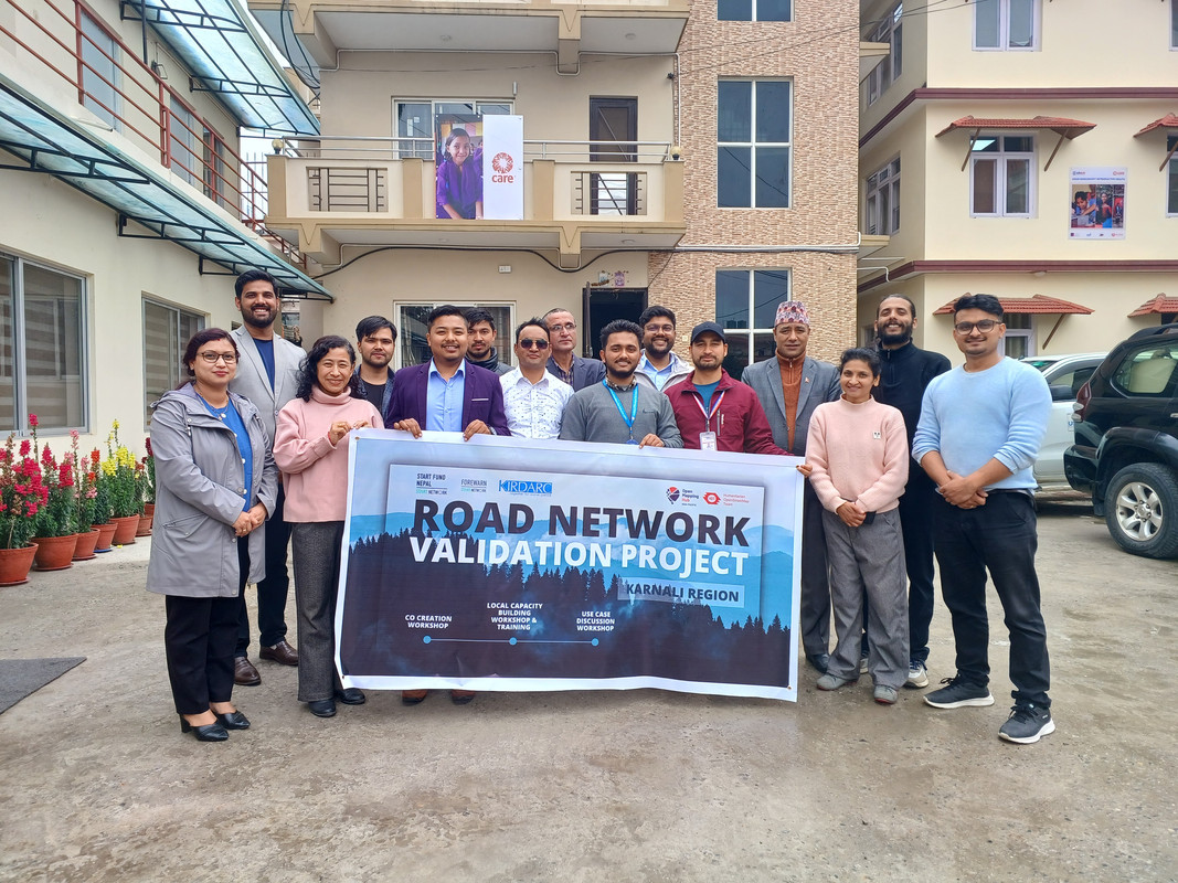
The rugged terrain of Nepal’s Karnali Province tells a story of resilience, isolation, and untapped potential. As the only province where road access remains severely limited—particularly in districts like Jumla—the need for a comprehensive and accurate road network is more urgent than ever. With this in mind, a collaborative Planning and Co-Creation Workshop was conducted to collectively address the challenges, gaps, and opportunities for mapping the road network of Karnali through open-source tools and community engagement.