New Fresh Start with GSoc's22
Posted by Zing929645 on 12 June 2022 in English. Last updated on 19 June 2022.Hello!
Hi, everyone! It is so glad to be in this community starting a new challenge this summer.
My name is Zhengyi Cao, a Chinese student at Boston University majoring in Electrical and Computer Engineering. I touched OSM by the chance that one course project required the achievement of finding shortest path by using OSM resources.
I am very interested in doing something like building maps, exploring unknown area and planning trajectory using point cloud data or other helpful approaches. It's challenging and addictive, and that is why I apply this project and be so eager to do this.
JOSM route visualisation
That is the topic I choose for this project. A plugin that can clearly display the full picture of the public transport route and show the relevant information about the designated route, which is convenient for users to query and greatly improves the efficiency of map modification. I am responsible for the improvement of UI to interface.
Points needs to be Improved (initial idea)
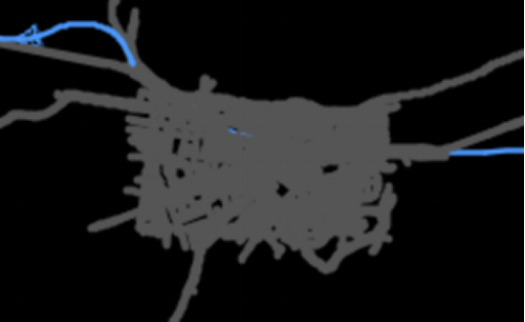
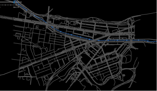
1.Below are recordings of the same part of route at different zoom levels. As we can see on the map interface, traffic paths are always overwritten when they overlap with other unrelated paths. So it would be better to let it float at the top of the interface in MapCSS.
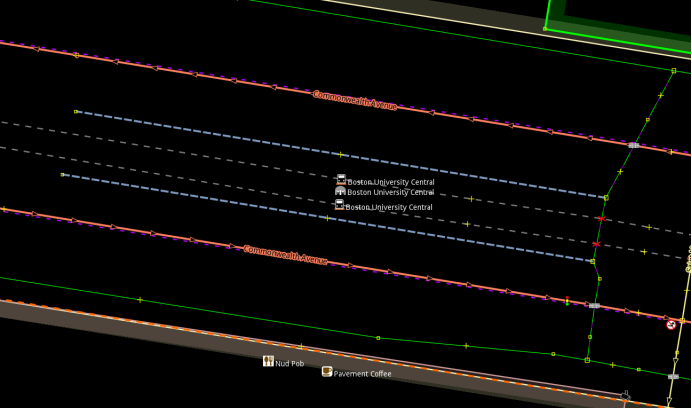
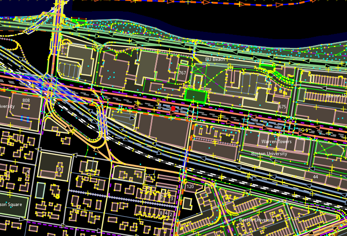
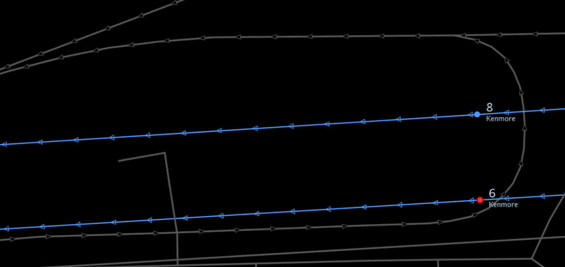
2.On the Routes interface, clicking "+" of each site can quickly locate the stop and enlarge the map like the first picture below. That is helpful for users to check if the platform is correctly set for stops with multiple platforms. On the other hand, we can add another function to present the relative position of the stop along the route like the red point in the second picture to have a general view.
3. When it comes to the display and modification of routes, it is always good to show the relation of one route with others. The user can choose the stop and it shows a list in the dropdown that opens. The dropdown should list all other routes passing through that stop. That would be so helpful for users.
Another way to do this is to show every route passing through it when selecting one stop like below.
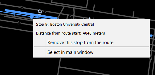
4.More information and operation options in this interface can be displayed auxiliary for view and editing such as the nearest distance to a previous or subsequent station, other routes through this station, etc.
Those are my initial ideas about the project. Thank you for reading and really appreciate your comments. I will continuously update dairies about the development.
Goals for the first half
| 1.MapCSS improvements | get started to know the data model and improve map rendering like paint of target route and other kinds of transportation |
| 2.Zoom to | some zoom switch set, minor features |
| 3.Association of stop and route | List all other routes passing through that the selected stop |
| 4.Context menu details | Enrich the context menu, add hints and distance unit switch |
Discussion
Comment from IanVG on 17 June 2022 at 20:07
Very exciting! These improvement would make mapping routes much easier in my opinion.
Comment from Zing929645 on 19 June 2022 at 15:40
Thanks, that means a lot to me @IanVG