Now it is one week since I started working with OSM. Sadly, my initial enthusiasm has waned. While there were many nice experiences, above all encountering some helpful fellow mappers, a feeling of meaningful connection with the purpose of the project did not develop.
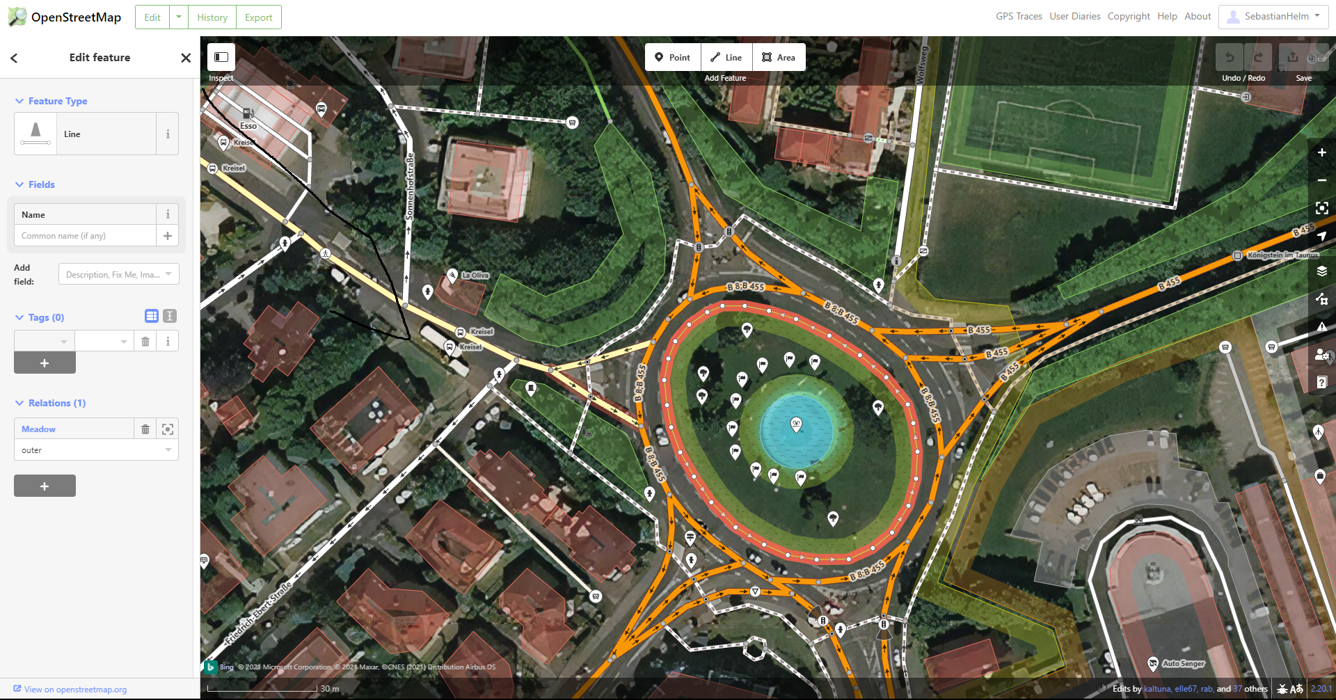
The apps I used show little consideration for what’s meaningful to the average mapper or end user. The below example from iD may serve as an illustration for how haphazardly it has been decided what gets displayed and what gets hidden. This matters because the UI displays no settings button to override that decision.
- The fortunate few that get to display their name include some street signs such as city limit signs (for which iD displays the full official name of the city at a place where it makes sense to hardly a mapping task – see the name “Königstein im Taunus” at the right edge of the picture), individual bus platforms or stopping locations (thus displaying the name of some feature at various locations far away from the actual feature - see the name “Kreisel” displayed four times, including two times as far away as the upper left edge) and even doggie bag dispensers (such as this one whose name was repeatedly added and removed).
- The map displays a big white balloon symbol for each bollard, fire hydrant or driveway end.
- The lower right side displays “Edits by” with some user names. One might think that that has some pertinence to the area shown. But when one clicks on any of them, the new page has no information about the area shown – it’s just the user page. So the display of that narrow selection of user names (in this case, 3 out of 51) seems pointless.
- At the top of the page, a big white rectangle contains some links, only a couple of which are related to the map shown. Most of that rectangle is a waste of space that could much better be used to display more of the map, the working area of which currently is reduced to an unwieldy 2:1 aspect ratio. The few relevant ones could easily be included in the darkened rectangle overlaying the top of the map.
- At the same time, important information is not displayed. To wit: Of the six roads that yield into the roundabout in the example picture, none has a name displayed.
- Other information that would be nice to see on the map when editing include house numbers and some indication of number of parking spaces (example: The underground parking “Parkhaus Stadtgalerie” with 200 spaces is shown with just a standard size balloon between many others, while the nearby “Stellplätze REWE” – just a small parking area with 6 spaces – gets to display its name prominently).
One may justly consider these as small kinks that one can get used to. However, they add up to a disconnect between the mapper on one side and the real world and the needs of those who use the data on the other side. I often asked myself “Who cares?” – not just as a rhetorical question, but because I really felt no connection to anyone in the real world who would care. (Example: the name of a doggy bag dispenser. Sure, the company that provides them will have some employees who will care about their product name, but does anyone in the company even care whether OSM highlights that name? Who knows whether, even if I entered that name a thousand times, I would get so much as a thank you note?) This example may be an extreme case, but even looking at road surfaces – something I care about when riding my bike, and one of the most established tags in OSM – who in the real world cares whether OSM lists it as “fine gravel” or “compacted”? If I were an earth worm I would care, but then I wouldn’t be using OSM.
I think this is enough for a diary entry; if there is demand, then I could write more about the following topics:
- Basic information for beginners
- Terminology
- Simple tasks I wasn’t able to accomplish with iD
- Experience with StreetComplete
- Experience with the wiki