
Water management and power infrastructure had made me busy here for years. Hydropower infrastructure intersects them both.
A new wikipage has been published about that (and waits to be improved) : https://wiki.openstreetmap.org/wiki/Power_generation/Hydropower
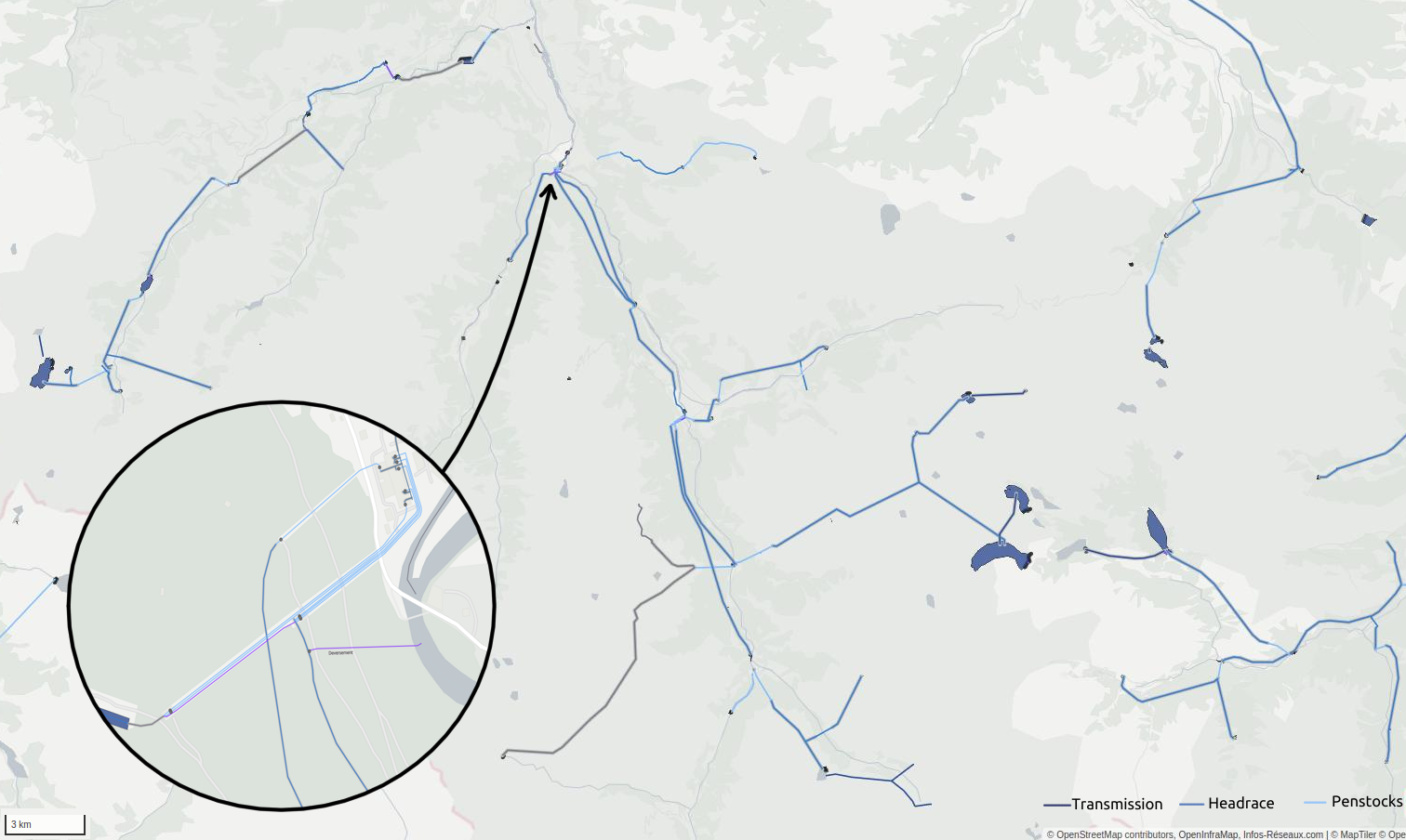
It’s not only about dams, power houses but about waterways as well, and OSM tagging model has been continuously developing to describe this. Water management will be more and more important in coming years to tackle droughts and fair water access challenges. Constantly seeking new ways to produce power and store water require accurate data and objectivity.
As hydro mapping and tagging improves on every continent, a more robust documentation on that particular topic may now be useful.
You will probably read it as a complement of existing waterways and water management pages.
Hydrology is another really thrilling topic to map in OSM, and it’s highly satisfying to see the water network becoming more and more routable and connected to natural waterways.
You can browse a render showing that kind of features in France here: https://map.infos-reseaux.com/#10.28/42.865/-0.1268/L,W
Feel free to share some personal experience about water management in comments
Discussion
Comment from MatthiasMatthias on 24 December 2022 at 20:06
Very interesting. The link to the info-resaux map is not working here, maybe a typo? Merry Christmas, Matthias
Comment from InfosReseaux on 25 December 2022 at 11:13
Hello Thank you and merry Christmas
The server may seek for holidays too (without any prior notice), I’ll check that when I come back next week :)
Comment from InfosReseaux on 27 December 2022 at 16:01
It’s back online.
Read only waiting to migrate to a newer server