I wrote a Python script to generate the frames then composed the images in Blender. I’ll put some effort to clean up the script and will share it when I get some free time…
The “greater whole” is fantastic, I’m especially looking at my home turf of Santa Cruz in this: beautiful work! The video is quite entertaining for someone who is local and knows most of where you are going. I can’t wait for your script; keep up the great projects! Would I rather watch twelve years of Instagram photos of hikes, kayaking, etc. or this? This! Very cool and well done.
Discussion
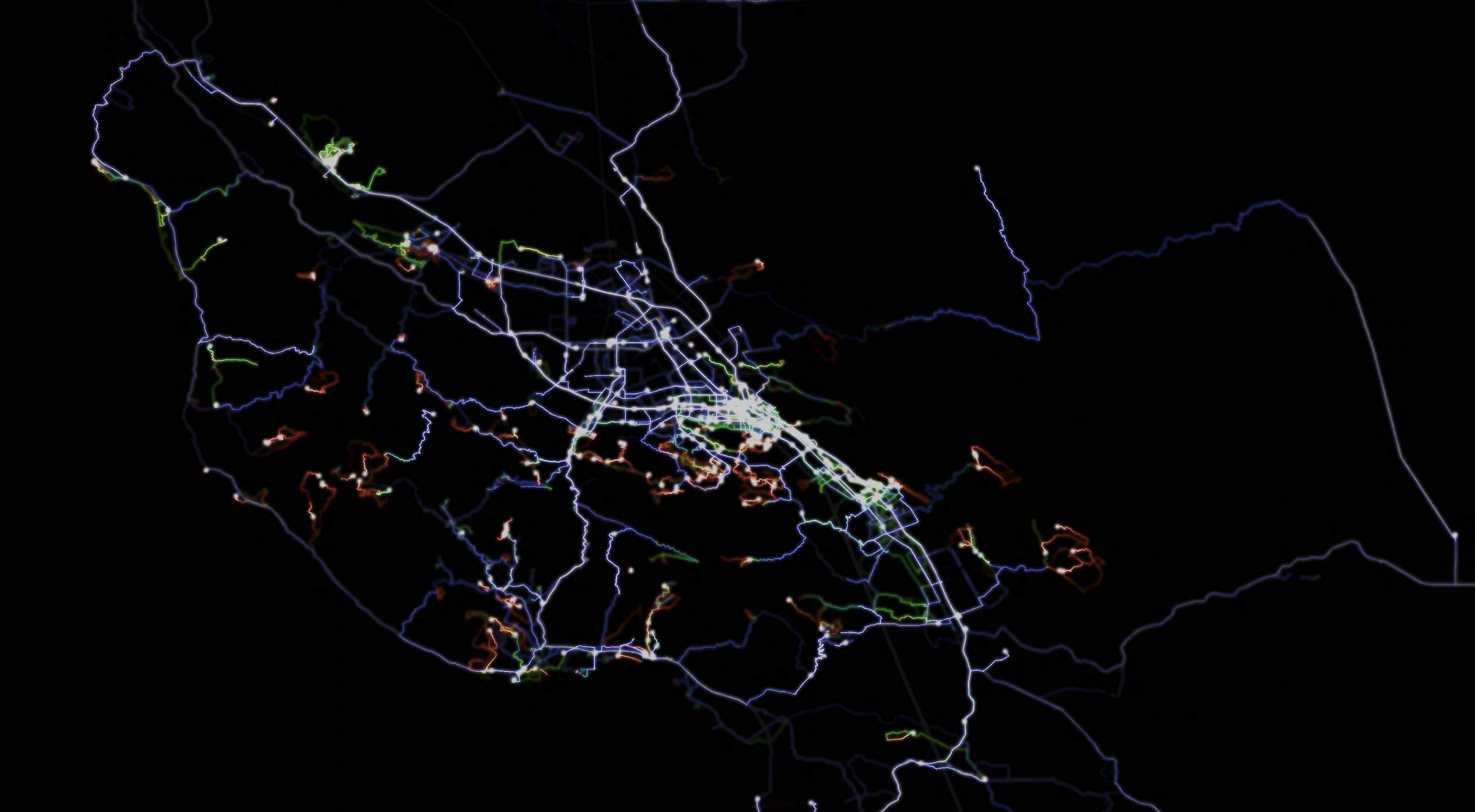
Comment from vincentxavier on 5 April 2020 at 20:25
How did you get this dataviz ? Which software did you use to create it ?
Comment from Alexander Avtanski on 6 April 2020 at 01:42
I wrote a Python script to generate the frames then composed the images in Blender. I’ll put some effort to clean up the script and will share it when I get some free time…
Comment from stevea on 19 April 2020 at 16:54
The “greater whole” is fantastic, I’m especially looking at my home turf of Santa Cruz in this: beautiful work! The video is quite entertaining for someone who is local and knows most of where you are going. I can’t wait for your script; keep up the great projects! Would I rather watch twelve years of Instagram photos of hikes, kayaking, etc. or this? This! Very cool and well done.