
For the first time, Cleveland participated in the OSM editathon on Saturday, April 20 at the Cleveland Public Library’s Map Collection. We joined a dozen cities across the USA in a coordinated effort to improve OpenStreetMap.
Eleven people of all ages and professions attended the Cleveland editathon, locally organized by Open Geo Cleveland, a Cleveland group that meets bi-monthly to discuss all things mappy and geospatial in the open world.
Our attendees consisted of the emerging OSM community in Cleveland and as well as those new to OSM. One attendee, Dennis, came all the way from the Akron, 40 miles away ! Another one of our attendees was jwolter, one of the first OpenStreetMap editors in the US ! We also had a couple OSM users who were from local public GIS agencies.
During the 4 hour editathon, I spent a bit of time discussing importing. One new user, bjoliver, an official at the Lake County Parks GIS, initially became interested in OSM when another local OSM user, ooBleck, asked for the shapefiles of parks and nature trails in Lake County to eventually upload into OSM. bjoliver, who had made the GPS traces to create the shapefiles for the county, and other attendees were really interested to see them added to the map so I spent some time walking them through the entire process: changing the files from SHP into OSM via ogr2osm; in JOSM, modifying original attributes from the shapefile to tags that were most appropriate for OSM (a process known as translating). At this time, I also showed attendees the wiki and taginfo to help determine which and differentiate between the tags (like highway=path and highway=service). Then, I manually reviewing the ways in JOSM with the existing OSM data, replacing and improving the data where necessary. A couple of the trails had been mapped although with less accuracy than with what we had, had outdated names, had incorrect tags, and didn’t include information that we now had, like the trail’s surface and width), I also checked for and fixed any small errors like unconnected nodes and eventually uploading 35 kilometers of trails.
Attendees were also editing in different areas in Northeastern Ohio through iD, potlatch, and JOSM; like adding neighborhood restaurants and amenities, fixing buildings in downtown Cleveland; or adding other places of interest in Norton. We also discussed the pitfalls of imports (Bad tags and geometry), jwolter sharing his experience of editing OSM in the early days, only using GPS traces without TIGER or imagery, and browsed maps in the map collection. Time flew by and we had a lot of fun. Thanks again to Tom Edwards at the Cleveland Public Library’s Map Collection for hosting us and Richard Weait for providing candies for attendees.
Courtesy of whodidit, Here’s the edits made in the past week in Northeastern Ohio which includes edits made outside of the editathon as well.
The editathon was a great success in growing OSM and geospatial community here in Cleveland.
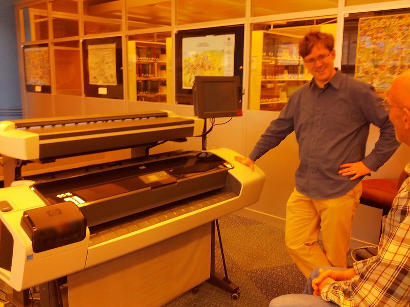 Talking at the Cleveland Public Library’s Map Collection and their new large map printer and scanner.
Additional pictures will be posted as I obtain permission.
Talking at the Cleveland Public Library’s Map Collection and their new large map printer and scanner.
Additional pictures will be posted as I obtain permission.
Discussion