
The trumpeting calls of the common cranes on their migratory flights high above Luxembourg announce autumn in September and spring in February. We look up, and for a few seconds, their V-shaped patterns peacefully mark the natural passage of time.
I live an ocean away in New York now. The colder winters last longer. When I hear about construction at home, or maybe feel a bit homesick, I turn to mapping.
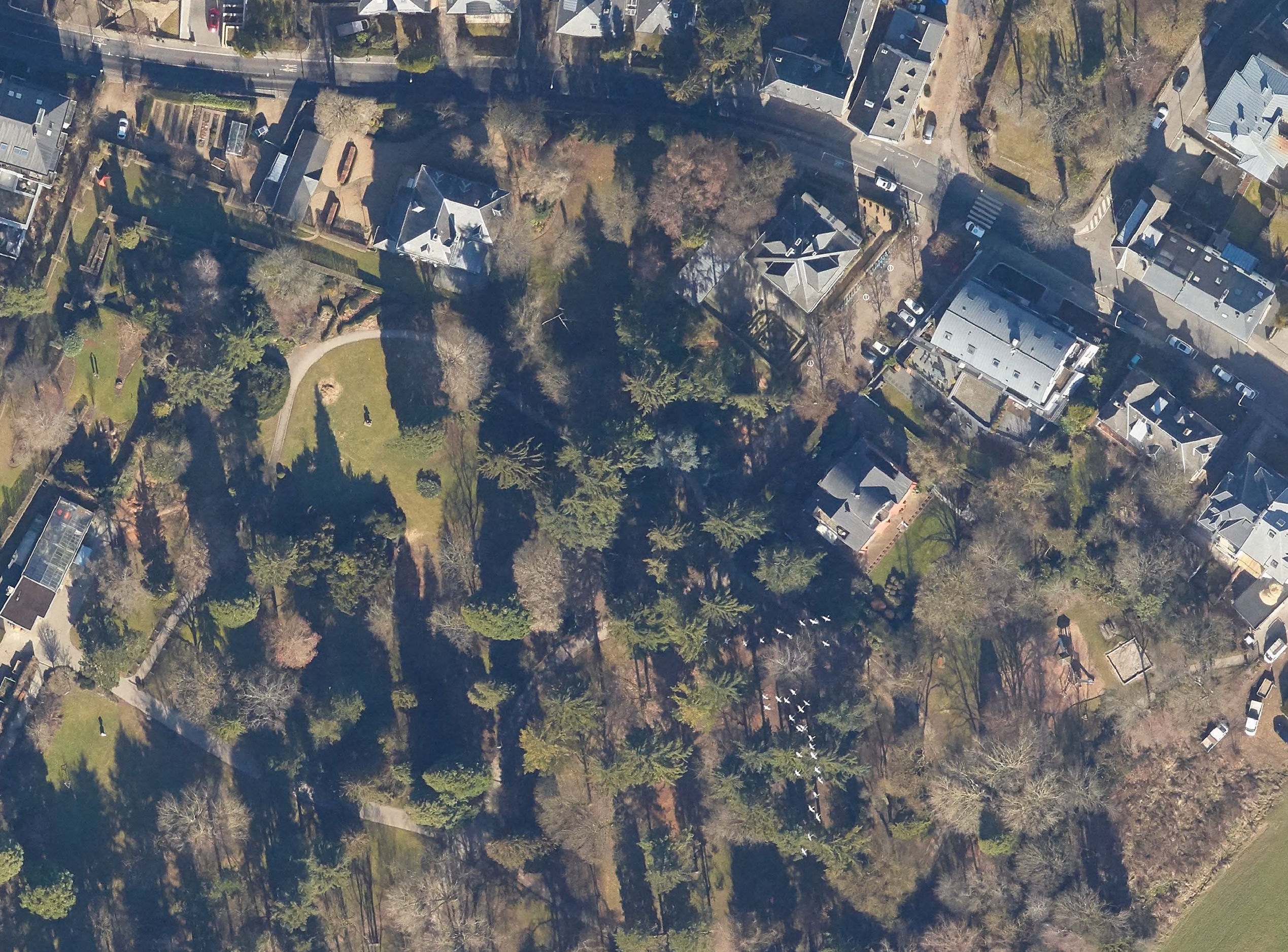
Local citizen initiatives have been using OpenStreetMap’s pedestrian crossings to crowdsource data on crossings with parking spots built too close. I have been improving crossings to help out, manually going through points marked as can’t see in ZUG’s analysis. For this crossing, too recent for aerial imagery, a friend sent photos from the ground. I compared the aerial images from previous years to compare how construction had changed the area, and spotted cranes announcing the end of winter in February 2019.
Discussion
Comment from PierZen on 11 February 2022 at 19:18
Upper north on the Richelieu river near Montréal, the canadian and white geese should halt in march-april coming from areas like Chesapeake Bay and similar areas south of USA. In october-november they halt again coming from up north. They also make these nice V-shaped formation!
Bonne cartographie.
Comment from DeBigC on 20 February 2022 at 13:42
Mappers don’t talk about their Geographic connections as much as they should. I went around the world mapping every place I lived, realising that before age 30 I travelled a lot! I love Luxembourg City, though I was only ever in the centre twice by night and it struck me as a good spot for nightlife.
In Ireland there is another building boom going on because there are huge differences in the present and previous Bings. When we had Maxar, (all too briefly) there was even more evidence of it. I hope that another Bing comes soon, because some new buildings, ways and landuse developments still don’t show on the imagery most of us use. Also, somebody should engage on a quality basis with ESRI about the way they stitch their tiles together, and the weird way they dont make the datelines very clear for each tile.
Comment from jmapb on 21 February 2022 at 17:34
Nice work! Harken, though, to the spring sounds of your home-in-exile – the cacophony of car horns and bike bells, the buzzing of the first thaw’s mosquitoes, the melodious murmuring of the pizza rats emerging from their winter dens. New York longs for your expert mapper’s hand!