Landuse import - is there one done right?
Posted by Mateusz Konieczny on 15 October 2017 in English.Fortunately I am typically editing area that is not a victim of landuse imports.
Unfortunately today I am trying to fix area affected by at least two landuse imports
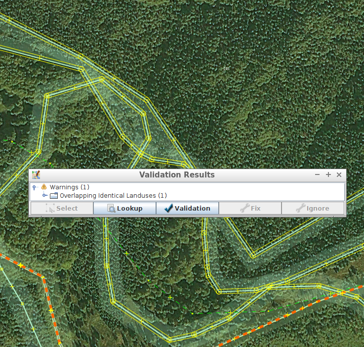
As bonus, one is using mysterious undocumented CLC:code, CLC:shapeId tags that are not documented anywhere and it is not clear what one should do with them on modifying and merging areas with them.
Is there anywhere at least one large-scale import of landuse data that was done properly?
Discussion
Comment from naoliv on 15 October 2017 at 23:18
The only landuse import done right is the one that has not been done? ;-)
Comment from Piskvor on 16 October 2017 at 05:42
https://wiki.openstreetmap.org/wiki/LPIS
There are of course glitches, but most of the data is precise and doesn’t clash with existing features…plus it wasn’t imported full-auto, there was a manual verification/correction step before upload.
Comment from Zverik on 16 October 2017 at 08:51
CLC = Corine Land Cover https://wiki.openstreetmap.org/w/index.php?search=CLC&title=Special:Search
Sorry you had to deal with that. In Russia we are lucky for not having such kind of open data.
Comment from ff5722 on 18 October 2017 at 07:06
I’ve never encountered any errors or warning from the 3dshapes import in the Netherlands
http://wiki.openstreetmap.org/wiki/3dShapes