.jpg)
1st OpenStreetMap Mapping event in University of State of Mexico, Faculty of Geography
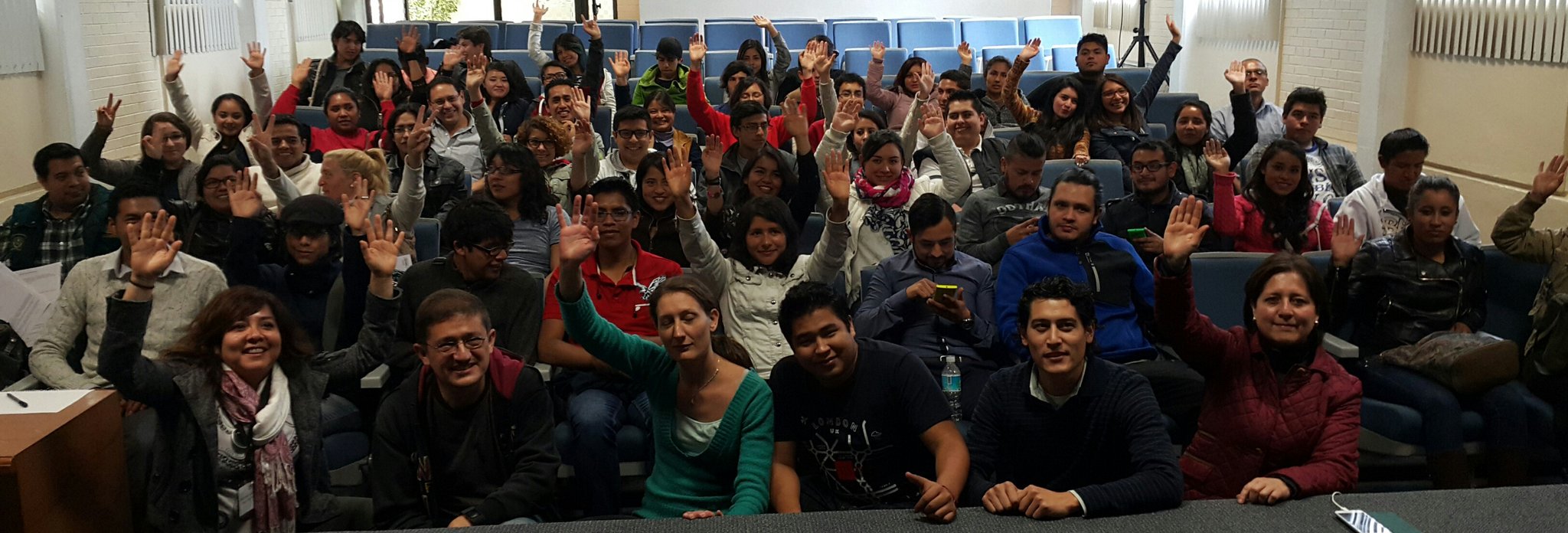
Posted by Mapanauta on 16 March 2016 in English. Last updated on 17 March 2016.Last February 26th and 27th the UAEMX and the OpenStreetMap Mexico community hosted a 2 day OpenStreetMap Conference and Workshop event in Toluca, State of Mexico. This events aims to increase the awareness of OpenStreetmap and the mapping community in the country. Another objective is to improve the base geospatial data coverage in different areas of Mexico and maintain an active mapping community that can be ready in cases of disaster responses and support other humanitarian initiatives. The attendees were students and graduated students of the University but the invitation was open to people interested in Open Data initiatives.
Day 1. Introduction to OpenStreetmap and Start Editing with ID Editor
The First day we started in the afternoon at 4pm with an audience of 87 people. An introduction of OpenStreetmap was given including how Humanitarian OpenStreetMap works and how events such as the 30th commemoration of the earthquakes of 1985 and earthquake simulation in the Zocalo of Mexico City helped to organized the mapping of the area Hurricaine Patricia could had affected last October.
After the conference a more interactive part took place in the one the participants in advance had already created a OpenStreetMap account, this was part of the requirements of take the course (thanks to previous experiences of Céline Jacquin she emphasized this task, as well as having previously installed the apps for the second day, so we avoid losing time and having connectivity issues!) Then we explained how ID Editor works and showed them the fundamental elements of OpenStreetMap. The audience was asked to go to the same area in the map and create a POI, a line and an area. After this introduction it seems everybody was confident to start mapping the world!

Day 2.
Introduction to OpenStreetmap and Start Editing with ID Editor
Why again? Very simple! the Professor Sandra Hernández mentioned on Friday most of the students will participate, but for people who already graduated college it was complicated to attend on working days so we decided to repeat the introduction and edition session on Saturday morning for those professionals interested in Continued Education.


After a lunch break of pizzas sponsored by Mapbox we continued with the second part of the day. How to map using different applications such as OSM Tracker, Vespucci, Go Map, Mapillary among others. Specifically, the application Mapillary was part of a pilot program named “MaPeaton” in the one the goal is to evaluate areas with difficult access for pedestrians, for example: sidewalks in bad conditions, no access for handicap people, etc. with the use of Mapillary the object could be georeferenced to start a database of these conditions. MaPeaton is a volunteer program in colaboration with the mexican activist sector (Liga Peatonal and groups of the Mexican Bicired).


Also both days we had the support of El Desbaste map, a graduated professional from this Institution who has been working very hard on improving the map quality of Lerma and surrounding areas and educating people of the benefits of having a Base map with the quality of OpenStreetMap.

In the two days we had 151 participants and 50% of them were women so we decided to include the #Pledgeforparity hashtag to promote more women mappers in Mexico and the rest of the world.
Stay tunned for the next events in:
*UNAM- Universidad Nacional Autónoma de México
*Oaxaca, Mexico
Discussion
Comment from Glassman on 17 March 2016 at 03:12
Enhorabuena on a successful event. Working with geography students is fun. They catch on quickly and can make a real difference to OSM. We should compare notes. Our community is active with the University of Washington in Seattle and just did our first mapathon at Western Washington University in Bellingham.
Clifford
Comment from GOwin on 17 March 2016 at 07:15
That’s a huge crowd! Congratulations!
Comment from baditaflorin on 17 March 2016 at 15:25
Good luck. Keep the posts going about how it`s going. I would really like to read more about what do you do.
Also, if you want to have access to osm data in PostGIS, i did this repository that can help people by simplifying the process of loading a file, adn creating a repository where we can share scripts.
http://www.openstreetmap.org/user/baditaflorin/diary/37758
http://sdkblog.skobbler.com/postgis-advantages-in-processing-osm-data/