
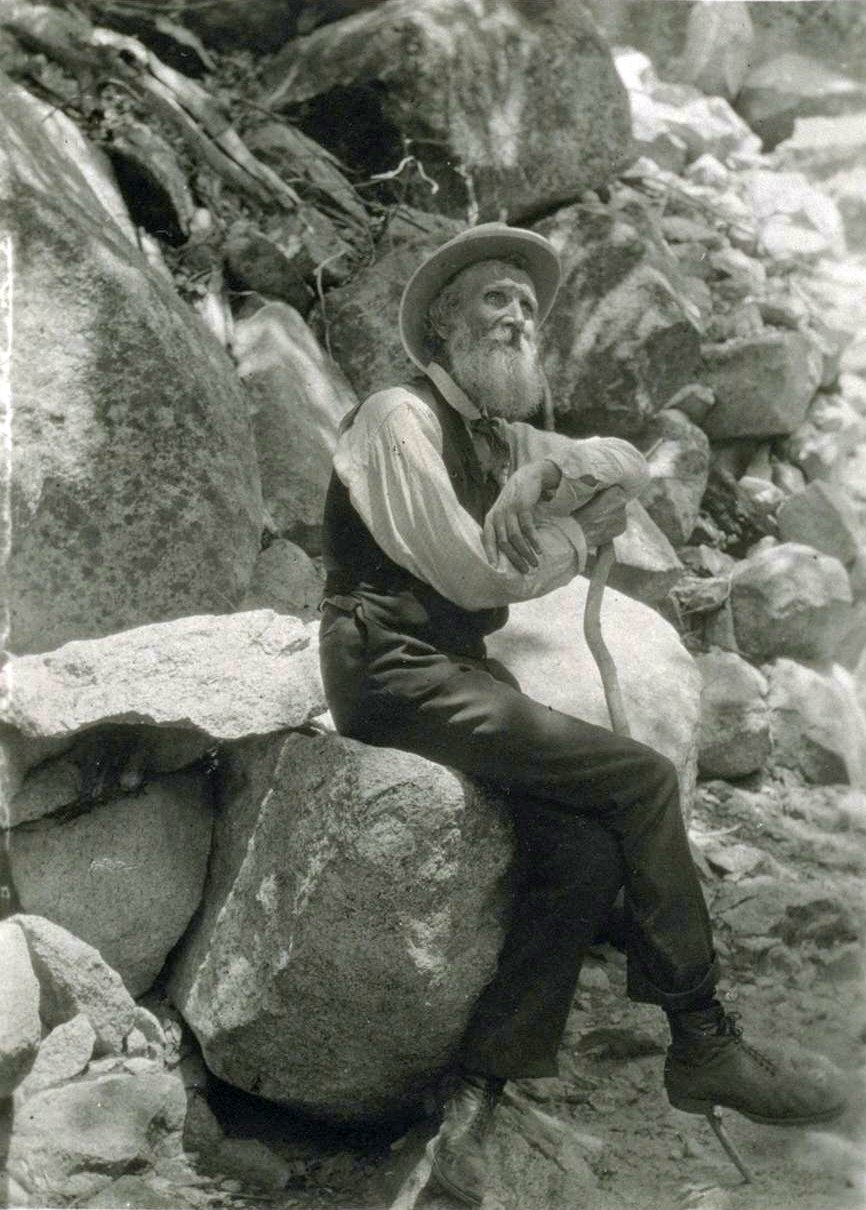
Can’t help thinking John Muir, the eminent 19th Century (Scottish-American) naturalist would have been a huge fan of OpenStreetMap. He was a bit of a hacker/maker in his day and his love of a good wander (up to a 1000 miles or more) would have made him a handy mapper.
Anyway, the John Muir Way has recently been officially opened for hiking and cycling across the central belt of Scotland. It a coast to coast route (with slightly different routes if you are cycling or on foot).
There’s still a little bit of work required on mapping the hiking route. But the bicycle route is one continuous section. You can view the route and get some analysis of it here. What a neat tool that is, Kudos to GrundID.
But how do you work out how many people have contributed to mapping this? All the ways, nodes etc?
Well, I couldn’t find a service that did this for me. But I knew it’s pretty easy, so I used osmar package for R. Although, it doesn’t look through the whole history of all the ways making up the relation/route it’s a pretty good estimate. You can download R easily and I recommend Rstudio as a nice interface but plain R is all you really need.
Here’s the code.
But if you can’t wait the answer is approx 106 people have helped to edit the ways and nodes that make up the route.
If anyone can recommend other tools etc for relations and route analysis - please do. Thanks
Discussion