Using DEM and slope data to find interesting mapping locations
Posted by ChristianA on 28 February 2017 in English.I like mapping by going out in the field, especially in the forest. Finding new (for me) trails and roads is very fun.
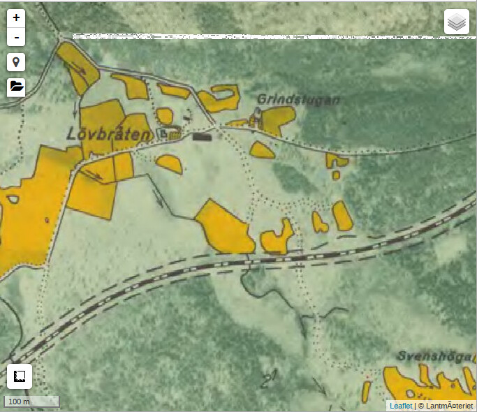
For mapping in Sweden I often use an old (expired copyright) map called Ekonomiska Kartan, by adding is as a tile layer in JOSM. It has names for farms, hamlets, mountains, forests, lakes and so on, which is often hard to come by otherwise. However, since it is old many things have changed on this map. I use this map together with Mapbox satellite images in JOSM, which is more recent.
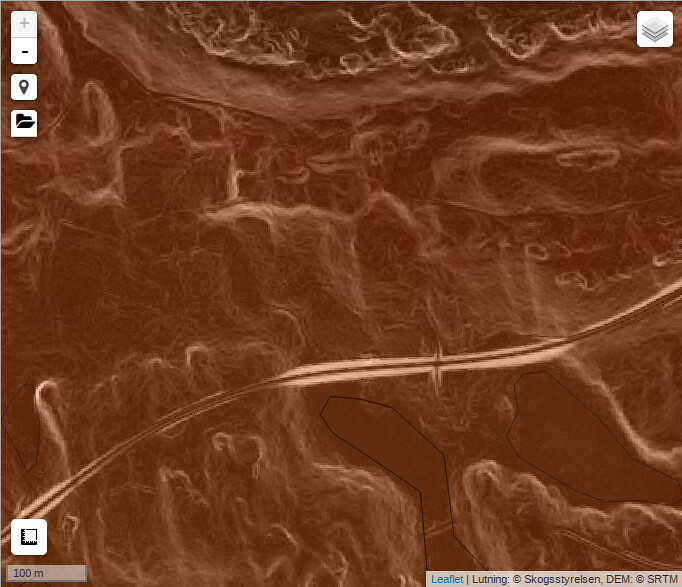
Sometimes it is hard to determine if an old road, or similar, still exists, bu purely looking at Ekonomiska Kartan and Mapbox satellite. Recently I made a tile layer (just for the area where I live) that consists of DEM from SRTM, together with slope data from the Swedish forestry administration (Skogsstyrelsen). While this data is “open data”, it has a license that is incompatible (I think) with OSM. So I just use this tile layer to figure out where to go with my GPS to map in the field.
One such example is shown below. Ekonomiska kartan (the old map)
 show a road traversing the railroad track in the center of the picture.

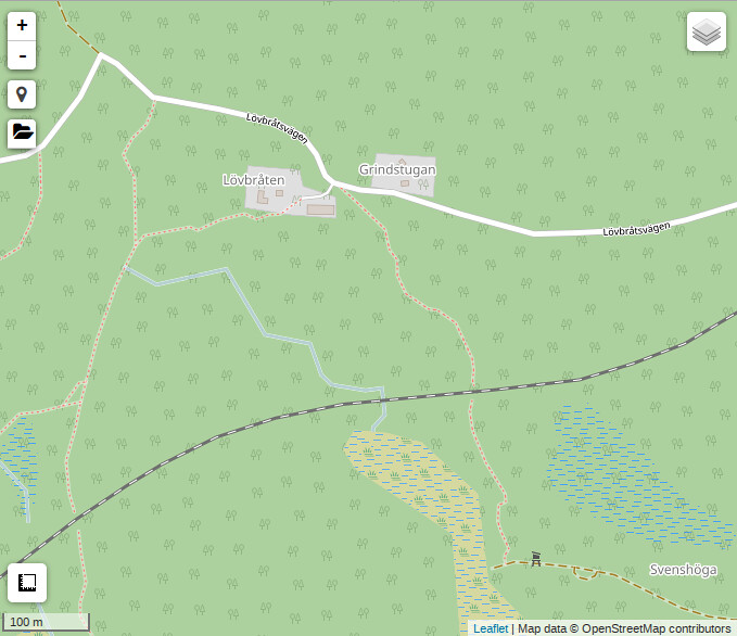
It is clear that some parts of the old road still remains. So I went there as part of a recent mapping/biking tour, and found a nice path on both sides of the railroad tracks.
And the final result is

Discussion
Comment from Dalkvist on 7 April 2017 at 19:38
What licence are they using for the DEM data? I only see copyright in the meta data.
Comment from ChristianA on 10 April 2017 at 07:08
The SRTM data? It was a couple of years ago that I checked, but according to https://wiki.openstreetmap.org/wiki/SRTM , it is in the public domain.