
Adding height to City of San Francisco buildings
Posted by Chetan_Gowda on 25 November 2016 in English. Last updated on 6 March 2017.The SF Bay area community is trying to import height data for buildings in the city of San Francisco.
Why we are adding height tag?
Adding height to existing buildings will enhance the data especially when used with popular renderers like OSM Buildings and Mapbox GL JS.
What is the source of data?
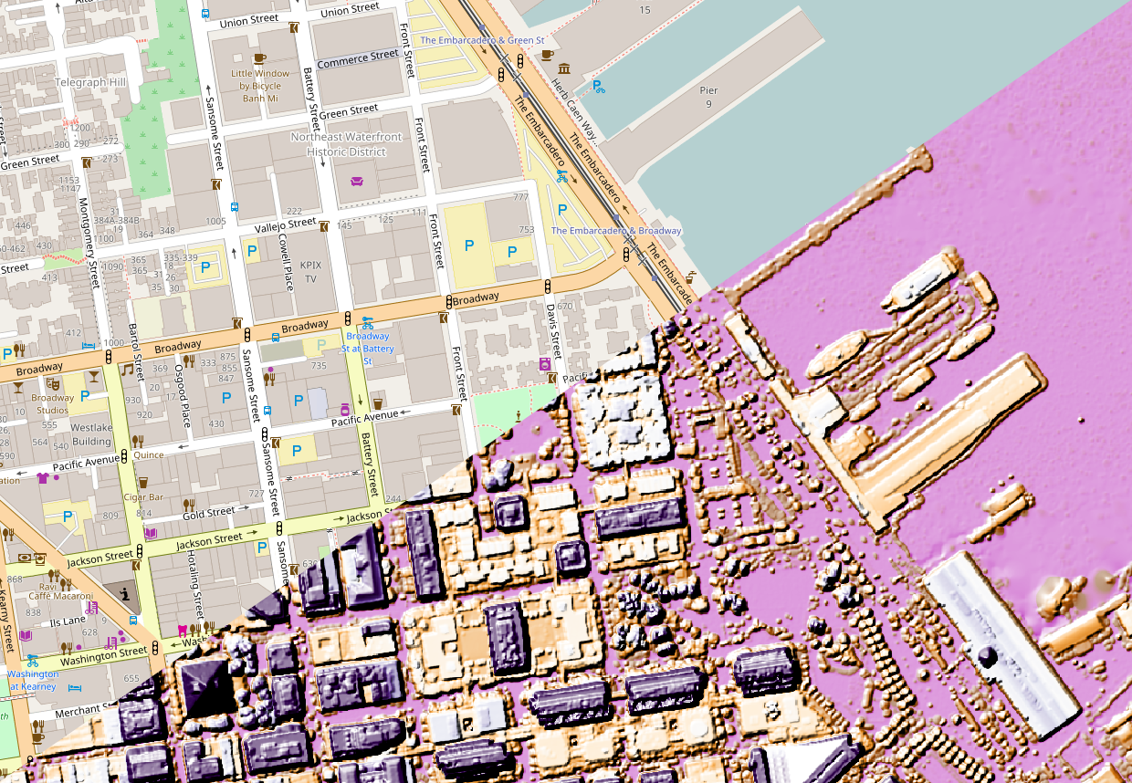
We are using raw LIDAR derived building height data released by SF local government under a CC0 (Creative Commons) license (data download here).
How are we combining the height to existing buildings?
For each building in OSM, we compare the footprint from SF goverment buildings, if there is 70% overlap, we add the height. Buildings with existing height tag won’t be touched.
The task is hosted in OSM-US. The importing has begun at http://tasks.openstreetmap.us/project/71
Note: Before jumping into the task, please read all the instructions carefully.
To know more about the project, or if you have ideas please post them here:
Discussion