Convocatoria para diseños del logo SotM LATAM 2024
![]()
¡Después de varios años sin realizar un State of the Map LATAM, este año tendremos nuevamente un encuentro de la comunidad OpenStreetMap latinoamericana de forma presencial en Brasil! Los días 7 y 8 de diciembre se llevará a cabo el SotM 2024 en la ciudad de Belén, una ciudad brasileña en la desembocadura del río Amazonas.
Como podrán suponer, este evento necesita contar con un elemento gráfico reconocible que represente tanto al espíritu de la ciudad de Belén como a la comunidad latinoamericana. El logo sirve además para definir el diseño y colores del sitio web oficial. También se usará para marketing y artículos promocionales del SotM (camisetas, calcomanías, etc.).


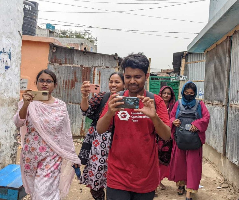 Open Mapping Guru, Brazil Singh in a field visit and data collection in Mirpur and Duaripara, Dhaka.
 ## Why This Matters
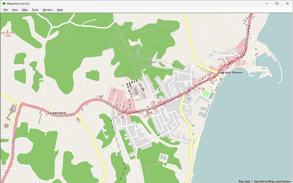 Figure 1: Cap-aux-Meules, before starting the project—Historical OSM data as of June 30, 2023, on Maperitive.