OpenStreetMap logo OpenStreetMap

umbraosmbr's Diary

Recent diary entries

Arquivos das apresentações realizadas no SotM Brasil 2023, que foram gentilmente disponibilizadas pelos(as) autores(as).

Para acessar as publicações (volume de anais e pôsteres,) clique aqui

Apresentações (por ordem alfabética)

AUTOMATIZAÇÃO DO PROCESSO DE IMPORTAÇÃO E CONFLAÇÃO MASSIVA NO OPENSTREETMAP

Matheus Gomes Correia, Kauê de Moraes Vestena, Gustavo Soares, Silvana Phillipi Camboim e Adelino Ferreira

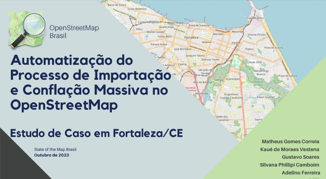
https://sotm-br.github.io/2023/presentations/pdf/ap13_sotmbr2023.pdf

AVALIAÇÃO DA ACURÁCIA POSICIONAL DE EIXOS VIÁRIOS DA PLATAFORMA DE MAPEAMENTO COLABORATIVO DO OPENSTREETMAP – UM ESTUDO DE CASO NO MUNICÍPIO DO RIO DE JANEIRO - RJ

Auzenan Pereira de Sá, Fernando Dias de Almeida, Guilherme Damasceno Raposo, Jonatas Goulart Marinho, Louise Gil Soares Ferreira e Elias Nasr Naim Elias

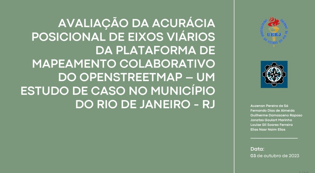
https://sotm-br.github.io/2023/presentations/pdf/ap5_sotmbr2023.pdf

AVALIAÇÃO DA COMPLETUDE DE DADOS OPENSTREETMAP, ALVARÃES, AMAZONAS, BRASIL

Ana Luísa Teixeira, Silvia Elena Ventorini, Francisco Davy Braz Rabelo

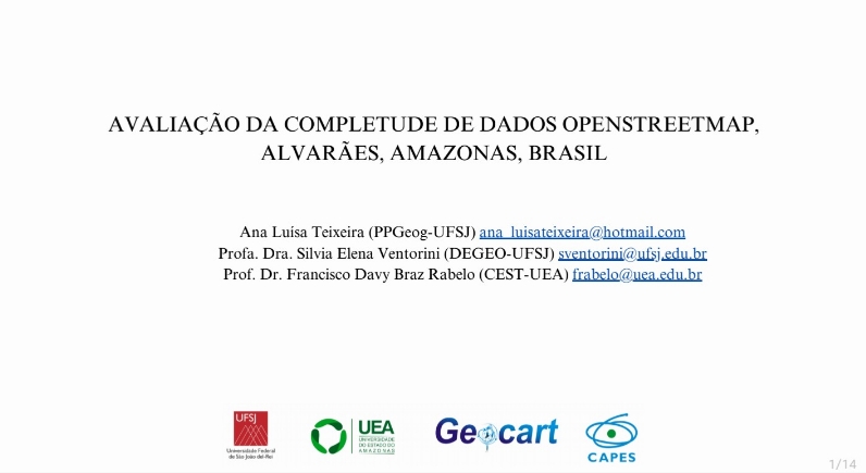
https://sotm-br.github.io/2023/presentations/pdf/ap19_sotmbr2023.pdf

AVALIAÇÃO DA VULNERABILIDADE E O MAPEAMENTO COLABORATIVO COMO INSTRUMENTO DE GESTÃO AOS DESASTRES NATURAIS EM ROSÁRIO DO SUL, RS.

Maria Vitória Zancanaro, Anderson Augusto Volpato Sccoti e Carina Petsch

https://sotm-br.github.io/2023/presentations/pdf/ap7_sotmbr2023.pdf

BRIDGING GEOSPATIAL DATA MODELS: SEMANTIC ALIGNMENT WITH OPENSTREETMAP

Vitor Silva de Araujo, Silvana Philippi Camboim e Naíssa Batista da Luz

https://sotm-br.github.io/2023/presentations/pdf/ap6_sotmbr2023.pdf

CURSO DE CAPACITAÇÃO EM MAPEAMENTO COM OPENSTREETMAP 2023: RESULTADOS E APREENSÕES

Raquel Dezidério Souto https://sotm-br.github.io/2023/presentations/pdf/ap10_sotmbr2023.pdf

EXPOSIÇÃO “AMAZÔNIA NO MAPA”: A VISÃO DOS PARTICIPANTES DA OBRAC 2023

Raquel Dezidério Souto https://sotm-br.github.io/2023/presentations/pdf/ap11_sotmbr2023.pdf

IMPORTAÇÃO DE DADOS. AINDA É UM TABU?

Matheus Gomes Correia

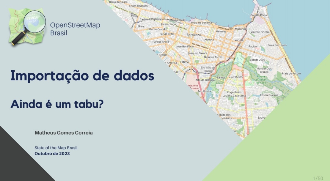
https://sotm-br.github.io/2023/presentations/pdf/ap8_sotmbr2023.pdf

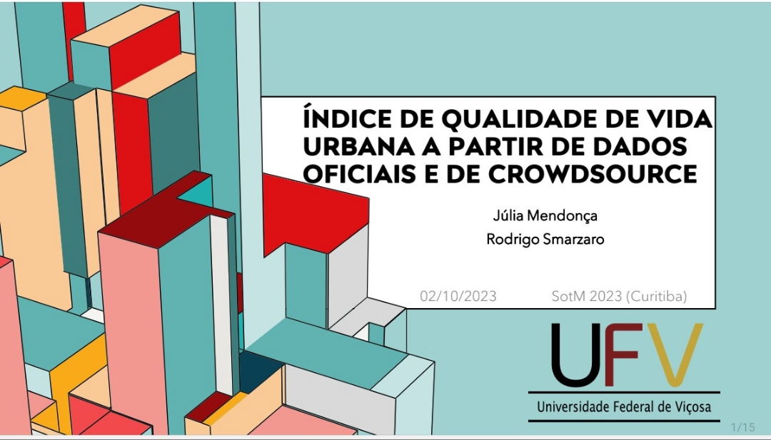
ÍNDICE DE QUALIDADE DE VIDA URBANA A PARTIR DE DADOS OFICIAIS E DE CROWDSOURCE

Júlia Mendonça e Rodrigo Smarzaro https://sotm-br.github.io/2023/presentations/pdf/ap17_sotmbr2023.pdf

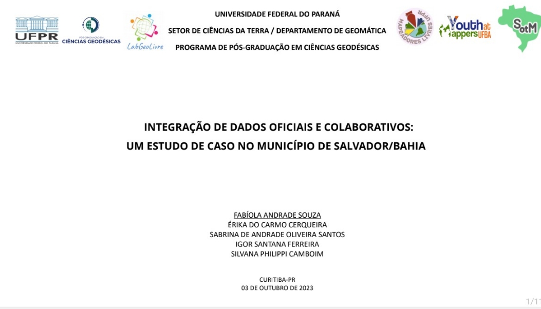
INTEGRAÇÃO DE DADOS OFICIAIS E COLABORATIVOS: UM ESTUDO DE CASO NO MUNICÍPIO DE SALVADOR/BAHIA

Fabíola Andrade de Souza, Érika do Carmo Cerqueira, Sabrina de Andrade Oliveira Santos, Igor Santana Ferreira e Silvana Philippi Camboim https://sotm-br.github.io/2023/presentations/pdf/ap1_sotmbr2023.pdf

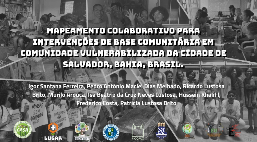
MAPEAMENTO COLABORATIVO PARA INTERVENÇÕES DE BASE COMUNITÁRIA EM COMUNIDADE VULNERABILIZADA DA CIDADE DE SALVADOR, BAHIA, BRASIL

Igor Santana Ferreira, Pedro Antônio Maciel Dias Melhado, Ricardo Lustosa Brito, Murilo Arouca, Isa Beatriz da Cruz Neves Lustosa, Hussein Khalil l, Frederico Costa e Patrícia Lustosa Brito

https://sotm-br.github.io/2023/presentations/pdf/ap4_sotmbr2023.pdf

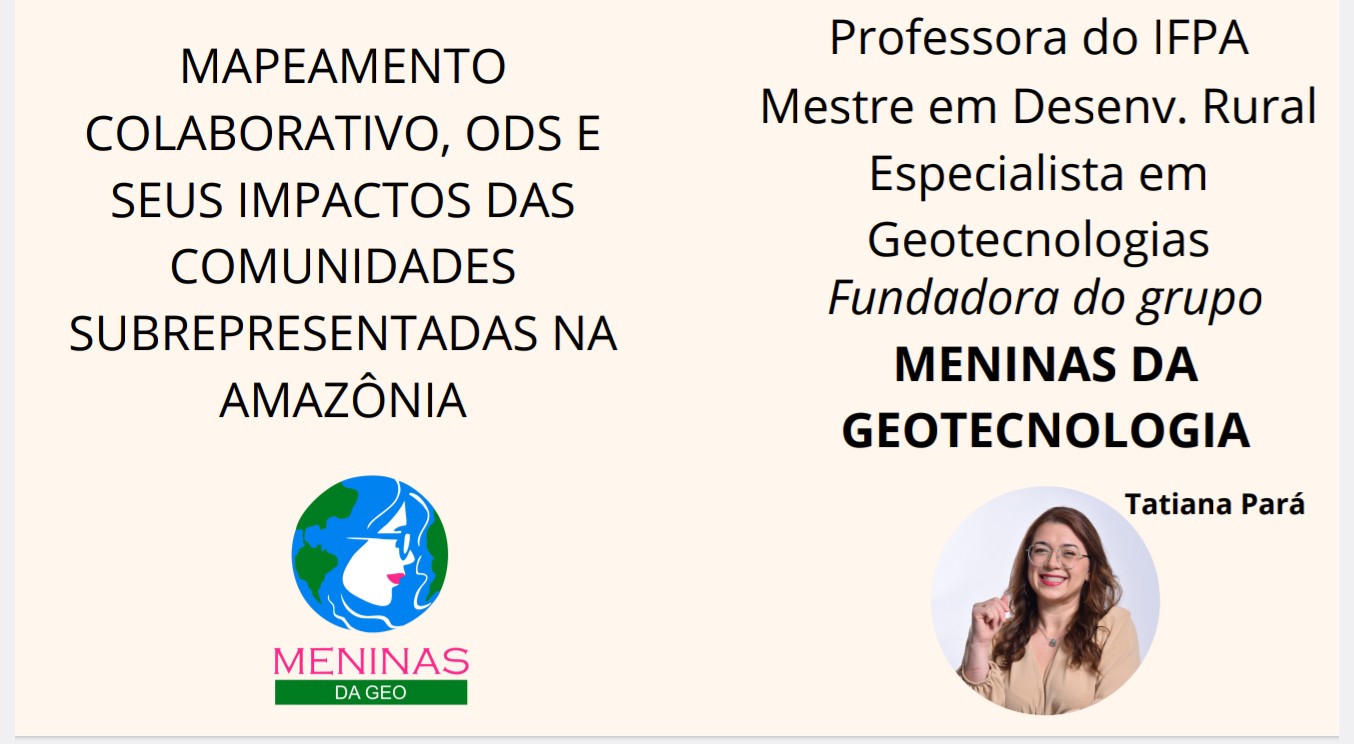
MAPEAMENTO COLABORATIVO, ODS E SEUS IMPACTOS NAS COMUNIDADES SUBREPRESENTADAS NA AMAZÔNIA

Tatiana Pará https://sotm-br.github.io/2023/presentations/pdf/ap2_sotmbr2023.pdf

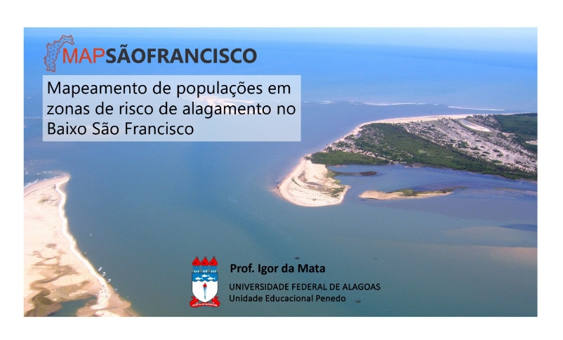
MAPEAMENTO DE POPULAÇÕES EM ZONAS DE RISCO DE ALAGAMENTO NO BAIXO SÃO FRANCISCO

Igor da Mata

https://sotm-br.github.io/2023/presentations/pdf/ap21_sotmbr2023.pdf

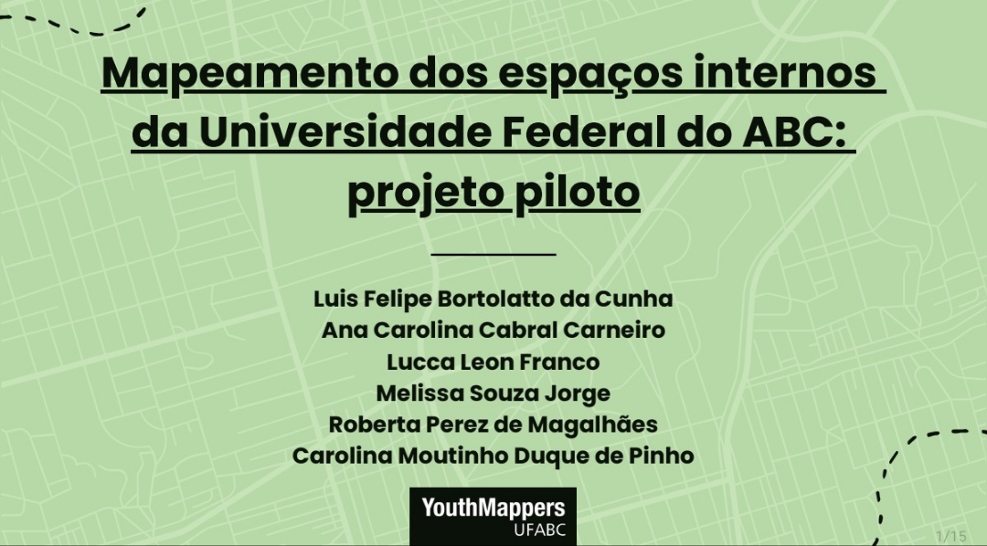
MAPEAMENTO DOS ESPAÇOS INTERNOS DA UNIVERSIDADE FEDERAL DO ABC: PROJETO PILOTO

Luis Felipe Bortolatto da Cunha, Ana Carolina Cabral Carneiro, Lucca Leon Franco, Melissa Souza Jorge, Roberta Perez de Magalhães e Carolina Moutinho Duque de Pinho

https://sotm-br.github.io/2023/presentations/pdf/ap15_sotmbr2023.pdf

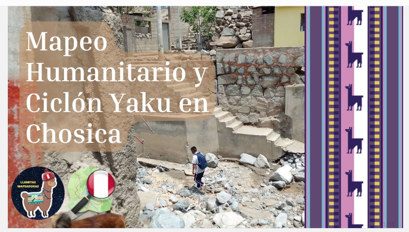
MAPEO HUMANITARIO Y CICLÓN YAKU EN CHOSICA

https://sotm-br.github.io/2023/presentations/pdf/ap20_sotmbr2023.pdf

MELHORIA DO OSM COM MAPAS OFICIAIS LIBERTADOS PELO INSTITUTO ADDRESSFORALL

Igor Eliezer Borges https://sotm-br.github.io/2023/presentations/pdf/ap14_sotmbr2023.pdf

OSMBUS2PGR: UMA FERRAMENTA PARA IMPORTAÇÃO DE DADOS SOBRE ROTAS DE ÔNIBUS NO OPENSTREETMAP PARA BANCO DE DADOS POSTGRESQL COM POSTGIS E PGROUTING

Elmo Neto, João H. Quoos e Pedro R. M. da Silva https://sotm-br.github.io/2023/presentations/pdf/ap9_sotmbr2023.pdf

POTENCIALIDADES DO MAPEAMENTO COLABORATIVO NA GESTÃO TERRITORIAL EM ÁREAS DE ASSENTAMENTOS RURAIS

Nicolas dos Santos Rosa, Utaro Borges, Marianne Oliveira e Caio dos Anjos Paiva https://sotm-br.github.io/2023/presentations/pdf/ap16_sotmbr2023.pdf

UMA NOVA ABORDAGEM DE DESIGN NO OSM

Gustavo Soares https://sotm-br.github.io/2023/presentations/pdf/ap18_sotmbr2023.pdf

YOUTHMAPPERS UERJ - CRIAÇÃO DO GRUPO E ABERTURA DO CAPÍTULO

Laura Barros Rosa de Andrade, Marta Foeppel Ribeiro, Nicolas Paes Cavalcanti Mizumoto da SilvaRobertha de Oliveira Gomes, Henrique Silva Vieira de Assis, Lucas Honório Gomes Ferreira, Elias Nasr Naim, Patrick Calvano Kuchler e Vivian Castilho da Costa 
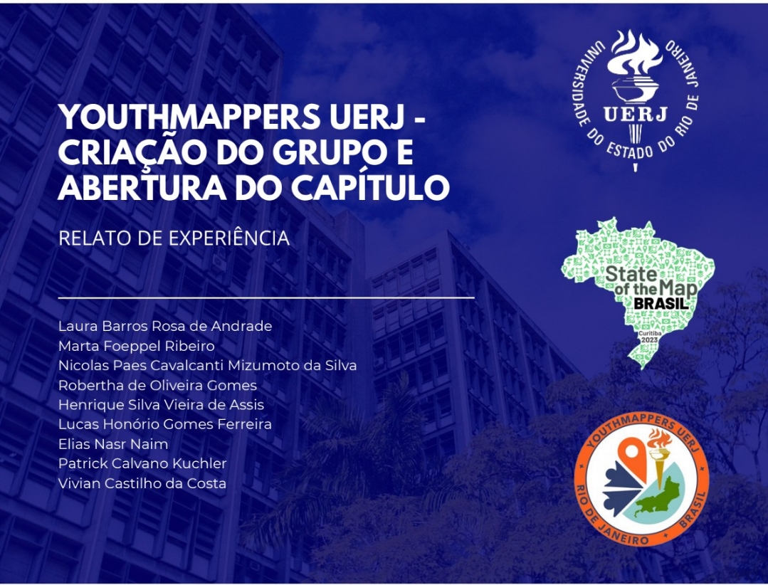
https://sotm-br.github.io/2023/presentations/pdf/ap3_sotmbr2023.pdf

YOUTHMAPPERS UFRJ: DISSEMINANDO O USO DO OPENSTREETMAP NOS MAPEAMENTOS COLABORATIVOS NO RIO DE JANEIRO

Raquel Dezidério Souto 
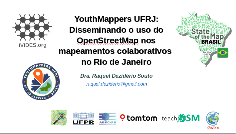
https://sotm-br.github.io/2023/presentations/pdf/ap12_sotmbr2023.pdf

Arquivos das apresentações realizadas no SotM Brasil 2023, que foram gentilmente disponibilizadas pelos(as) autores(as). Para acessar as publicações (volume de anais e pôsteres, https://sotm-br.github.io/2023/presentations/

UMBRAOSM - União dos Mapeadores Brasileiros do Openstreetmap

www.umbraosm.com.br

Location: Jardim Botânico, Curitiba, Região Geográfica Imediata de Curitiba, Região Metropolitana de Curitiba, Região Geográfica Intermediária de Curitiba, Paraná, South Region, Brazil

My Sotm Brazil 2023 conference, an incredible experience and a lot of knowledge about Brazilian projects

Foto do Sotm 2023 Brasil

O State of the Map Brasil 2023 aconteceu no Centro Politécnico da Universidade Federal do Paraná, na cidade de Curitiba, Paraná, Brasil, entre os dias 02 e 04 de outubro de 2023, em formato híbrido.

As Palestras podem ser vista no canal do Youtube.

Canal do Youtube - State of the map Brasil 2023

Minha conferência Sotm Brazil 2023, uma experiência incrivel e muito conhecimento dos projetos brasileiros

Temas da Conferência

Os temas de interesse para a conferência incluem, mas não estão limitados a:

Qualidade de Dados Aplicações – Temáticas, governo municipal, desastres, história, etc. Integração com dados oficiais e Infraestruturas de Dados Espaciais (IDEs) Comunidades de mapeamento Educação Ferramentas de mapeamento e consulta OpenStreetMap (OSM) e a comunicação Visualizações bidimensionais e tridimensionais Imagens a nível de rua Objetivos do Desenvolvimento Sustentável Mapeamento de áreas sub-mapeadas e assentamentos precários Inteligência Artificial e suas aplicações no mapeamento colaborativo

Comitê Científico de Avaliação

Silvana Philippi Camboim - UFPR - Presidenta

Adriana Alexandria Machado - UFPR

Adryane Gorayeb- UFC

André Luiz Alencar de Mendonça - UFMA

Angélica Carvalho Di Maio - UFF

Daniel Andrade - IME

Elias Nasr Naim - UERJ

Gustavo Mota de Sousa - UFRRJ

Homero Fonseca - USP

Ivanildo Barbosa - IME

João Vitor Meza Bravo - UFU

Júlia Strauch - IBGE

Leonardo Assumpção Moreira - UFPR

Leonardo Scharth Loureiro Silva - IBGE, UFF

Luciene Stamato Delazari - UFPR

Manoel do Couto Fernandes - UFRJ

Marcela Zeballos - TTU/YouthMappers

Marcio Augusto Reolon Schmidt - UFU

Marta Foeppel Ribeiro - UERJ

Milena Marilia Nogueira de Andrade - UFRA

Patricia Lustosa Brito - UFBA

Paulo Márcio Leal de Menezes - UFRJ

Péricles Luiz Picanço Junior - UFPI

Raquel Dezidério Souto - UFRJ, IVIDES

Régia Estevam - UNEMAT

Rodrigo Freire - UnB

Rodrigo Smarzaro - UFV

Rogério Borba - IBGE

Silvia Elena Ventorini - UFSJ

Vivian de Oliveira Fernandes - UFBA

Comitê Organizador

Kauê de Moraes Vestena - UFPR - Presidente

Alícia Campos - UFPI

Elias Nasr Naim - UERJ

Everton Bortolini - UFPR

Fabíola Andrade Souza - UFBA

Gustavo Raldi Storck - UFPR

Jaqueline Lima Amorim - UFPR

Jaqueline Pisetta - UFPR

Júlia Vargas Novack - UFPR

Luís Henrique Costa - UFPR

Nathan Damas Antonio - UFPR

Raphael de Assis - UMBRAOSM

Raquel Dezidério Souto - UFRJ, IVIDES

Rodrigo Smarzaro - UFV

Silvana Philippi Camboim - UFPR

Patrocinadores

Patrocinador Platinum https://www.tomtom.com/

Parceiros na organização do evento

União dos Mapeadores Brasileiros do OpenStreetMap - UMBRAOSM Mapatonas no estado do Paraná, sede do evento. https://www.umbraosm.com.br/

IVIDES - Instituto Virtual para o Desenvolvimento Sustentável - IVIDES.org® Página da Exposição “Amazônia no Mapa”, com os trabalhos da OBRAC 2023. https://ivides.org/olimpiada-brasileira-de-cartografia-obrac-2023/exposicao-virtual

Associação Brasileira dos Engenheiros Cartógrafos do Paraná. http://www.abecpr.org.br/

Olimpíada Brasileira de Cartografia - OBRAC. http://olimpiadadecartografia.uff.br/obrac-2023/

YouthMappers UFRJ Capítulo YouthMappers da Universidade Federal do Rio de Janeiro

YouthMappers UFV Capítulo YouthMappers da Universidade Federal de Viçosa

YouthMappers at UFBA Capítulo YouthMappers da Universidade Federal da Bahia

YouthMappers UFPI Capítulo YouthMappers da Universidade Federal do Piauí

Programa de Pós-graduação em Ciências Geodésicas - PPGCG-UFPR. https://cienciasgeodesicas.ufpr.br/

Pagina da Wiki - State_of_the_Map_Brasil_2023

Site do Sotm Brasil 2023 - Curitiba

Location: -25.451, -49.233

The activation of Flood Mapping in the City of Muçum, RS has begun

Posted by umbraosmbr on 12 September 2023 in English. Last updated on 13 September 2023.

The activation of Flood Mapping in the City of Muçum, RS has begun!

As a result of the rains that affected the state of Rio Grande do Sul, Brazil, UMBRAOSM, the Brazilian Chapters of YOUTHMAPPERS created an Activation project for mapping in the city of Muçum in the state of Rio Grande do Sul - Brazil for mapping the City! !

This project aims to map buildings, so if you want to use the MapWithAI tool (Rapid or JOSM), it is recommended to use this tool mainly in rural regions with low building density. This allows you to quickly add AI-predicted buildings and roads. However, human verification is necessary. Don’t just accept auto-detected buildings - ensure correct building alignment, geometry and road classification before saving your work.

If you want to use JOSM, you must download the [MapWithAI] plugin (https://github.com/KaartGroup/JOSM_MapWIthAI_plugin#readme). The plugin wiki page contains detailed usage instructions. You can also use the [building_tools] plugin (https://wiki.openstreetmap.org/wiki/JOSM/Plugins/BuildingsTools), which will make the geometry creation process easier. Once the building has been digitized, use the “q” key to adjust the geometry. For road mapping, remember that they must be connected to each other. Additionally, generate enough nodes to avoid sharp angles when changing road directions. In the case of intersecting roads, an intermediate node must be placed at the point where they intersect, unless there is a structure separating them, such as [bridges] (https://wiki.openstreetmap.org/wiki/Key :bridge) or [tunnels] (https://wiki.openstreetmap.org/wiki/Key:tunnel).

Powered by:

Umbraosm Brazilian chapters of youthmappers HOTHubLAC Brazilian Community of Openstreetmap

https://tasks.hotosm.org/projects/15493

https://tasks.hotosm.org/projects/15493

A ativação do Mapeamento de Enchentes na Cidade de Muçum, RS começou!

em decorrência das chuvas que afetaram o estado do Rio Grande do Sul, Brasil a UMBRAOSM, os Capítulos Brasileiros do YOUTHMAPPERS criamos um projeto de Ativação para o mapeamento na cidade de Muçum no estado do Rio Grande do Sul - Brasil para o mapeamento da Cidade!!

Este projeto tem como objetivo mapear edifícios, portanto, se você quiser usar a ferramenta MapWithAI (Rapid ou JOSM), é recomendável usar essa ferramenta principalmente em regiões rurais com baixa densidade de edifícios. Isso permite que você adicione rapidamente edifícios e vias previstos pela IA. Entretanto, a verificação humana é necessária. Não aceite apenas os edifícios detectados automaticamente - certifique-se do alinhamento e da geometria corretos dos edifícios e da classificação das vias antes de salvar seu trabalho.

Se quiser usar o JOSM, você deverá fazer download do plug-in [MapWithAI] (https://github.com/KaartGroup/JOSM_MapWIthAI_plugin#readme). A página plugin wiki contém instruções detalhadas de uso. Você também pode usar o plug-in [building_tools] (https://wiki.openstreetmap.org/wiki/JOSM/Plugins/BuildingsTools), que facilitará o processo de criação de geometrias. Depois que a construção tiver sido digitalizada, use a tecla “q” para ajustar a geometria. Para o mapeamento de vias, lembre-se de que elas devem estar conectadas umas às outras. Além disso, gere nós suficientes para evitar ângulos agudos nas mudanças de direção das vias. No caso de vias que se cruzam, um nó intermediário deve ser colocado no ponto em que elas se cruzam, a menos que haja uma estrutura que as separe, como [pontes] (https://wiki.openstreetmap.org/wiki/Key:bridge) ou [túneis] (https://wiki.openstreetmap.org/wiki/Key:tunnel).

Instruções para mapear manualmente edifícios e vias

desenhe o prédio ou a via inteira, mesmo que esteja parcialmente coberta por árvores nas imagens. Os edifícios e as vias não devem se sobrepor uns aos outros. Edifícios e vias independentes não devem compartilhar nós com seus vizinhos. Mapeamento de edifícios altos em áreas densas - [vídeo tutorial] (https://www.youtube.com/watch?v=JAPiGntG6fs). Não confunda deslocamento com sombra de edifício. Digitalize os edifícios separadamente, mesmo que eles pareçam estar unidos na imagem. No iD, manter pressionada a tecla “alt” impedirá que os nós se “encaixem” uns nos outros. Mapeie todos os edifícios que estejam pelo menos 50% dentro da caixa delimitadora. Não remova nem modifique os elementos existentes, a menos que tenha certeza de que sabe o que está fazendo. Imagens Imagens: tente usar imagens MAXAR Premium, que são mais atualizadas do que as imagens do Bing e têm maior probabilidade de corresponder aos recursos previstos pela IA. Observação: Aguarde o carregamento das imagens antes de marcar a tarefa como indisponível. Alinhe as imagens com os recursos existentes, se necessário. Para fazer isso, consulte Ajuste de imagem do iD Editor. Tags Quando você adicionar um edifício, o iD o marcará com building=yes por padrão. Se você souber que tipo de edifício ele é (por exemplo, casa, apartamentos, comercial), poderá marcá-lo com essa informação. Consulte a página wiki do OSM sobre características de edifícios para obter mais informações sobre tipos de edifícios. Se você souber o nome do edifício, quantos andares ele tem ou o endereço, poderá adicionar essas tags. vias Quando você adicionar uma via, o iD lhe dará opções para adicionar o rótulo de via principal ou via secundária. Você deve conhecer algumas das diferenças entre as [classificações de vias] (https://wiki.openstreetmap.org/wiki/Map_features#Highway) que geralmente aparecem nesses tipos de projetos, como segue:

highway=residential Em áreas urbanas ou vilas rurais, vias que servem de acesso a residências, sem a função de conectar localidades. Elas geralmente são ladeadas por residências. Podem ser transitáveis por veículos com 4 ou mais rodas, motocicletas, bicicletas ou tráfego de pedestres.

highway=unclassified

Vias coletoras menores que permitem o movimento e o comércio em vias e vias residenciais para e entre localidades. Embora geralmente não sejam residenciais, pode haver casas ao longo da via. Podem ser transitadas por veículos com 4 ou mais rodas, motocicletas, bicicletas ou tráfego de pedestres.

highway=service que levem a locais/propriedades particulares ou destino fora da via (por exemplo, estacionamentos) Tarefa Se você tiver mapeado todos os itens ou se não houver itens na área de tarefas, marque o Status da tarefa como Sim. Se você não tiver capturado todos os elementos, não tem problema. Carregue suas alterações mesmo assim e marque o status da tarefa como Não para que outra pessoa possa concluí-la. Adicione um comentário, se desejar, e selecione Submit task (Enviar tarefa). ** Ativado por: ** Umbraosm Capítulos Brasileiro do youthmappers HOTHubLAC Comunidade Brasileira do Openstreetmap

Comentário do changeset:#hotosm-project-15493 MAPEAMENTO DE ENCHENTES NA CIDADE DE MUÇUM-RS #UMBRAOSM #YOUTHMAPPERS-BR #BRASIL #ENCHENTESRS e #HOTHubLAC

https://tasks.hotosm.org/projects/15493

https://tasks.hotosm.org/projects/15493

UMBRAOSM

If you want to use JOSM, you must download the [MapWithAI] plugin (https://github.com/KaartGroup/JOSM_MapWIthAI_plugin#readme). The plugin wiki page contains detailed usage instructions. You can also use the [building_tools] plugin (https://wiki.openstreetmap.org/wiki/JOSM/Plugins/BuildingsTools), which will make the geometry creation process easier. Once the building has been digitized, use the “q” key to adjust the geometry. For road mapping, remember that they must be connected to each other. Additionally, generate enough nodes to avoid sharp angles when changing road directions. In the case of intersecting roads, an intermediate node must be placed at the point where they intersect, unless there is a structure separating them, such as [bridges] (https://wiki.openstreetmap.org/wiki/Key :bridge) or [tunnels] (https://wiki.openstreetmap.org/wiki/Key:tunnel).

Powered by:

Umbraosm Brazilian chapters of youthmappers HOTHubLAC Brazilian Community of Openstreetmap

WWW.UMBRAOSM.COM.BR

Make a Donation to UMBRAOSM Union of Brazilian OpenstreetMap Mappers and keep the site in AR and your projects!

https://www.umbraosm.com.br/doacao.html

These are the data to send a Pix to the Neon account!

To send by keys: Email: umbraosm@gmail.com

Name: Roberto Borges De Sousa

WWW.UMBRAOSM.COM.BR

State Of The Map 2023 Brazil schedule - Curitiba - 02 a 04 de Outubro de 2023

https://sotm-br.github.io/2023/programme/

Application for State of the Map 2023

https://docs.google.com/forms/d/e/1FAIpQLScdproSjWowGGT-Cq-VhmVFXTDFIubO03AMkOQ9yBifQXRvAA/viewform

https://www.umbraosm.com.br/sotm-2023.html

https://www.umbraosm.com.br

UMBRAOSM - union of brazilian openstreetmap mappers

#Registration for the State of the Map Brazil 2023.

To be held in the city of Curitiba, Paraná, Brazil, between October 2nd and 4th, 2023 (hybrid format) and with a 100% online pre-conference, to be held on September 30th, 2023.

Application form: https://docs.google.com/forms/d/e/1FAIpQLScdproSjWowGGT-Cq-VhmVFXTDFIubO03AMkOQ9yBifQXRvAA/viewform

For more details, access the SotM Brasil 2023 page or the Free Mapeadores UFPR networks.

https://sotm-br.github.io/2023/

This form protects personal data, in accordance with the General Law for the Protection of Personal Data (nº 13.709/2018). Your data will be used by the organization of the event only for registration and communication purposes.

To contact the organization of the event, please send an email to: sotmbr2023@gmail.com.

See you in Curitiba!

Location: Centro, Curitiba, Região Geográfica Imediata de Curitiba, Região Metropolitana de Curitiba, Região Geográfica Intermediária de Curitiba, Paraná, South Region, Brazil

OpenStreetMap 19th Birthday Party

In 2023, the project’s anniversary, OpenStreetMap’s 19th anniversary birthday party will be celebrated around August 9, 2023 in cities all over the world! https://wiki.openstreetmap.org/wiki/OpenStreetMap_19th_Anniversary_Birthday_party

PROJECT LINK:

https://tasks.hotosm.org/projects/15381/

The Openstreetmap 19th birthday party event will take place today at 8:00 pm with the Quississana neighborhood map, in the city of São José dos Pinhais, Paraná https://www.openstreetmap.org/relation/1123929#map=15/ -25.5504/-49.1532 where we will map the buildings that are missing in the neighborhood and we will also promote an online meeting of Brazilian mappers in the room of UMBRAOSM - Union of Brazilian Openstreetmap mappers at the link: https://meet.jit.si/ umbraosm

The Event will be promoted by UMBRAOSM - Union of Brazilian Openstreetmap Mappers

Festa de aniversário de 19 anos do OpenStreetMap.

Em 2023, o aniversário do projeto, a festa de aniversário do 19º aniversário do OpenStreetMap será celebrada por volta de 9 de agosto de 2023 em cidades de todo o mundo! https://wiki.openstreetmap.org/wiki/OpenStreetMap_19th_Anniversary_Birthday_party

O Evento de comemoração dos 19 anos do Openstreetmap vai acontecer hoje as 20:00hs com a mapatona do bairro de Quississana, Cidade de São José dos Pinhais, Paraná https://www.openstreetmap.org/relation/1123929#map=15/-25.5504/-49.1532 onde iremos mapear os edificios que estão em falta no bairro e também iremos promover um encontro online dos mapeadores brasileiros na sala da UMBRAOSM - União dos mapeadores brasileiros do Openstreetmap no link: https://meet.jit.si/umbraosm

O Evento será promovido pela UMBRAOSM - União dos Mapeadores Brasileiros do Openstreetmap.

Projetos disponiveis no maproulette.

https://maproulette.org/

DESAFIOS Procurar

Correção de CEP na Região Nordeste do Brasil para o Padrão Brasileiro = XXXXX-XXX / Correction of CEP in the Northeast Region of Brazil for the Brazilian Standard = XXXXX-XXX umbraosmbr’s Project

Correção de Nomes de Rua que foi mapeado de forma errada em todo Brasil. / Correction of Street Names that were mapped wrongly throughout Brazil. Raphaelkaart’s Project

Correção de CEP para o Formato usado no Brasil - Estado de Pernambuco. / Correction of ZIP Code for the Format used in Brazil - State of Pernambuco. Raphaelkaart’s Project

Correção de CEP para o Formato usado no Brasil - Estado da Paraiba. / Correction of ZIP Code for the Format used in Brazil - State of Paraiba. Raphaelkaart’s Project

Correção de CEP para o Formato usado no Brasil - Estado da Bahia. / Correction of ZIP Code for the Format used in Brazil - State of Bahia. Raphaelkaart’s Project

Inclusão de Nomes de Rua em Vilarejo Ponte Branca no estado de Goías - Brasil / Inclusion of Street Names in Vilarejo Ponte Branca in the state of Goias - Brazil. Raphaelkaart’s Project

Correção de Nomes de Rua em todo Brasil / Correction of Street Names throughout Brazil Brasil - Projetos da UMBRAOSM - União dos Mapeadores Brasileiros do Openstreetmap

Correção de Nomes de Rua em todo Brasil - Part1. / Correction of Street Names throughout Brazil - Part.1 Brasil - Projetos da UMBRAOSM - União dos Mapeadores Brasileiros do Openstreetmap

Correção de Nomes de Rua em todo Brasil - Part2. / Correction of Street Names throughout Brazil - Part.2 Brasil - Projetos da UMBRAOSM - União dos Mapeadores Brasileiros do Openstreetmap

Realization:

UMBRAOSM - Union of Brazilian Openstreetmap Mappers www.umbraosm.com.br https://t.me/grupoumbraosm

BRAZIL - PARINTINS - AMAZONAS - UNMAPPED AREAS IN THE TERRITORY OF THE CITY OF PARINTINS.

link para a task manage da hot: https://tasks.hotosm.org/projects/14395

Paritins is a city in the North of Brazil and is located in the state of Amazonas - Brazil, according to 2020 information, the municipality of parintins (AM) has 115,363 inhabitants and needs mapping throughout its municipal boundary.

Mapping in the city of Parintins/AM - Brazil will be done by beginner and advanced mappers and aims to include buildings, rural roads, rivers, points of interest (shops in general, schools, health clinics, squares) and green areas in the places of kills, thus improving the OSM data.

Many buildings are very close but not really touching. Try to map them as closely as possible without allowing them to connect with each other or the streets.

Residential Street: Select the “residential” or “residential” label for roads that are primarily for access to housing.

Service streets: select the “service” tag - streets inside markets, malls, offices/service stations, etc.

Pedestrian path: select the “footway” tag - paths accessible only by foot.

Green area: select the tag “natural=wood” - For Native Forest or natural=wood for Relfa.

Access to the online conference from 09:00hs. (Brasilia time.) https://meet.jit.si/umbraosm

link para a task manage da hot: https://tasks.hotosm.org/projects/14395

Date:

March 10 and 11, 2023. from 09:00 am

Contact: Website: http://www.umbraosm.com.br

Email: umbraosm@gmail.com

telegram: https://t.me/grupoumbraosm

Support:

GEO girls

Free Mappers

Darcy Ribeiro State School

IVIDES.ORG

HOT

UMBRAOSM - Union of Brazilian Openstreetmap Mappers

BRASIL - PARINTINS - AMAZONAS - ÁREAS NÃO MAPEADA NO TERRITORIO DA CIDADE DE PARINTINS.

Paritins e uma cidade do Norte do Brasil e está situada no estado do Amazonas - Brasil, de acordo com informações de 2020 o município de parintins(AM) tem 115.363 Habitantes e Precisa de Mapeamento em todo seu Limite Municipal.

O Mapeamento na Cidade Parintins/AM - Brasil será feito por mapeadores iniciantes e avançados e tem como objetivo Incluir edifícios, estradas rurais, Rios, pontos de interesses (comércios em geral, escolas, postos de saúde, praças) e áreas verdes nos locais de mata, melhorando assim os dados do OSM.

Muitos edifícios estão muito próximos, mas realmente não se tocam. Tente mapeá-los o mais próximo possível sem permitir que eles se conectem entre si ou com as ruas.

Rua residencial: Selecione o rótulo “residencial” ou “residencial” para estradas que são principalmente para acesso à habitação.

Ruas de serviço: selecione a etiqueta “serviço” - ruas dentro de mercados, shoppings, escritórios/estações de serviço, etc.

Caminho pedonal: selecione a tag “footway” - caminhos acessíveis apenas a pé.

Área verde: selecione a tag “natural=wood” - Para Mata Nativa ou natural=wood para Relfa.

Acesso para a conferencia online apartir das 09:00hs. (horario de Brasilia.) https://meet.jit.si/umbraosm

data: 10 e 11 de Março de 2023. apartir das 09:00hs

link para a task manage da hot: https://tasks.hotosm.org/projects/14395

Contato: Site: http://www.umbraosm.com.br

E-mail: umbraosm@gmail.com

telegram: https://t.me/grupoumbraosm

BRAZIL - SÃO SEBASTIÃO - (SP) - AREAS AFFECTED BY FLOODS, FLOODS AND LANDSIDES ON FEBRUARY 19, 2023

SOS São Sebastião - São Paulo - Brazil. https://tasks.hotosm.org/projects/14297

BRAZIL - SÃO SEBASTIÃO - (SP) - AREAS AFFECTED BY FLOODS, FLOODS AND LANDSIDES ON FEBRUARY 19, 2023 Brazil On February 19, 2023, the cities of the North Coast of São Paulo were hit by more than 600 mm of rain in 24 hours, with São Sebastião being the most affected and with the highest number of deaths so far.

The neighborhoods that were most impacted are: Baleia, Barra do Sahy, Boiçucanga, Camburi and Juquehy.

Mapping in the City of São Sebastião/SP - Brazil will be carried out by beginner and advanced mappers and aims to

DESCRIPTION For this mapping, use the Bing image.

Many buildings are very close but not really touching. Try to map them as closely as possible without allowing them to connect with each other or the streets.

Residential Street: Select the “residential” or “residential” label for roads that are primarily for access to housing.

Service streets: select the “service” tag - streets within markets, malls, offices/service stations, etc.

Residential street: select “living street” label - narrow streets mainly for access to residences

Pedestrian path: select the “footway” tag - paths accessible only on foot.

Green area: select the tag “natural=wood” - For Native Forest or natural=wood for Relfa.

Contact:

Website: http://www.umbraosm.com.br

Email: umbraosm@gmail.com

telegram: https://t.me/grupoumbraosm

https://tasks.hotosm.org/projects/14297

===================================================

BRASIL - SÃO SEBASTIÃO - (SP) - ÁREAS AFETADAS POR INUNDAÇÕES, ALAGAMENTOS E DESLIZAMENTOS NO DIA 19 DE FEVEREIRO DE 2023 Brasil No dia 19 de fevereiro de 2023 as cidades do Litoral Norte de São Paulo foram atingidas por mais de 600 mm de chuva em 24 horas, sendo São Sebastião a mais afetada e com maior número de mortes até o momento.

Os bairros que foram mais impactados são: Baleia, Barra do Sahy, Boiçucanga, Camburi e Juquehy.

O Mapeamento na Cidade de São Sebastião/SP - Brasil será feito por mapeadores iniciantes e avançados e tem como

DESCRIÇÃO Para este mapeamento, utilize a imagem Bing.

Muitos edifícios estão muito próximos, mas realmente não se tocam. Tente mapeá-los o mais próximo possível sem permitir que eles se conectem entre si ou com as ruas.

Rua residencial: Selecione o rótulo “residencial” ou “residencial” para estradas que são principalmente para acesso à habitação.

Ruas de serviço: selecione a etiqueta “serviço” - ruas dentro de mercados, shoppings, escritórios/estações de serviço, etc.

Rua residencial: selecione o rótulo “rua viva” - ruas estreitas principalmente para acesso a residências

Caminho pedonal: selecione a tag “footway” - caminhos acessíveis apenas a pé.

Área verde: selecione a tag “natural=wood” - Para Mata Nativa ou natural=wood para Relfa.

Contato:

Site: http://www.umbraosm.com.br

E-mail: umbraosm@gmail.com

telegram: https://t.me/grupoumbraosm

https://tasks.hotosm.org/projects/14297

REALIZAÇÃO UMBRAOSM - União dos Mapeadores Brasileiros do Openstreetmap

Relatório de Atividades da UMBRAOSM em 2022.

UMBRAOSM Activity Report Year 2022 – Brazil

UMBRAOSM Activity Report

Year 2022 – Brazil

UMBRAOSM – Union of Brazilian Openstreetmap Mappers It was born from the need to improve the openstreetmap data and not only improve the data but also to create events for the Brazilian community such as mapathons, validathons and work-shops to train Brazilian and foreign mappers for a better quali-ty of the data that are mapped in openstreetmap making with that the openstreetmap database has a good quality and with that it is a reference for other countries for having qualified mappers for a good mapping.

In this year of 2022, with the support of kaart, we managed to create 18 mapathons and 3 validatonas, 3 workshops and we participated in 1 event in the state of Bahia where we present-ed 2 lectures on Openstretmap and a mapping workshop with GPS application aimed at high school students from the city of Salvador -Bahia. UMBRAOSM material Used to publicize the mapathons and vali-dathons that we did throughout 2022 in Brazil and we also publicized our partnership with kaart in the posts we published on the internet and on the UMBRAOSM website.

Projects developed by umbraosm

Relatorio completo das atividades desenvolvidas pela UMBRAOSM e seus parceiros em 2022

Complete report of the activities developed by UMBRAOSM and its partners in 2022 https://drive.google.com/file/d/1PRC3Ik35bsacmXN5D7XU_dxgrifE8VwF/view

UMBRAOSM - União dos Mapeadores Brasileiros do Openstreetmap www.umbraosm.com.br umbraosm@gmail.com Telegram: https://t.me/grupoumbraosm Instagram: @umbraosmbrasil

Insert Wikidata into POI in OsmAnd

Inserir Wikidata em POI no OsmAnd

Brief tutorial on how to insert Wiki (Wikipedia/Wikidata) into Points of Interest (POI) in OsmAnd application with OpenStreetMap map. By Túllio M. Franca - UMBRAOSM

Breve tutorial de como inserir Wiki (Wikipédia/Wikidata) em Pontos de Interesse (POI) no aplicativo OsmAnd com mapa OpenStreetMap. Por Túllio M. Franca - UMBRAOSM

https://pt.slideshare.net/umbraosm/inserir-wikidata-em-poi-no-osmand-254777845

Tulio França https://www.instagram.com/ondecetaa/

UMBRAOSM - União dos Mapeadores Brasileiros do Openstreetmap www.umbraosm.com.br

Community Mapping - OSM

Mapeamento de Comunidades - OSM

Mapeamento de Comunidades - OSM Presentation of the Community Mapping Project in Brazil on OpenSreetMap integrated with other free platforms such as OpenAerialMap, Mapillary and Wiki as well as the use of StreetComplete. By Túllio M. Franca - UMBRAOSM

Apresentação do Projeto de mapeamento de comunidades no Brasil no OpenSreetMap integrado a outras plataformas livres como OpenAerialMap, Mapillary e Wiki bem como uso do StreetComplete. Por Túllio M. Franca - UMBRAOSM

https://pt.slideshare.net/umbraosm/mapeamento-de-comunidades-osm

Tulio França https://www.instagram.com/ondecetaa/

UMBRAOSM - União dos Mapeadores Brasileiros do Openstreetmap www.umbraosm.com.br

WORKSHOP MAPEAMENTO PARTICIPATIVO E CARTOGRAFIA SOCIAL - 7 e 14 DEZ 2022

Participatory Mapping and Social Cartography Workshop - 7th and 14th DEC 2022

WORKSHOP MAPEAMENTO PARTICIPATIVO E CARTOGRAFIA SOCIAL - 7 e 14 DEZ 2022

Participatory Mapping and Social Cartography Workshop - 7th and 14th DEC 2022

PROGRAMA - SCHEDULE 07 DEC 22 — DAY 1 *

18h - ABERTURA / OPENING Raquel Dezidério Souto, IVIDES.org e GeoCart-UFRJ Paulo Márcio Leal de Menezes, GeoCart-UFRJ

UMBRAOSM - União dos Mapeadores Brasileiros do Openstreetmap WWW.UMBRAOSM.COM.BR 18h10 - PALESTRA/ KEYNOTE - 1 Mapeamento com OpenStreetMap Mapping with OpenStreetMap Raquel Dezidério Souto, IVIDES.org e GeoCart-UFRJ 18h35 - PALESTRA/ KEYNOTE - 2

Mapeamento participativo aplicado ao planejamento urbano Participatory mapping applied to urban planning Carolina Carvalho, Comunidades Vivas 19h - PALESTRA/ KEYNOTE - 3

Mapeamento participativo da pesca artesanal em ambiente marinho: desafios e aprendizados no contexto cearense Participatory mapping of artisanal fisheries in the marine environment: challenges and lessons learned in the context of Ceará Thomaz Xavier e Regina Balbino da Silva, UFC 19h25 - PALESTRA/ KEYNOTE - 4

Mapeamentos colaborativos e tecnologias de informação geográfica para representação de problemáticas socioterritoriais Mapeos colaborativos y Tecnologías de la Información Geográfica para la representación de problemáticas socioterritoriales Bianca Vanesa Freddo, SIGyT-Universidad Nacional de la Patagonia San Juan Bosco

19h45 - PALAVRAS FINAIS/ FINAL WORDS Raquel Dezidério Souto, IVIDES.org e GeoCart-UFRJ http://mpcs2022.ivides.org - ivides@ivides.org - https://www.youtube.com/c/IVIDES * UTC-3 (BRASIL)

14 DEC 22 — DAY 2 *

18h - ABERTURA / OPENING Raquel Dezidério Souto, IVIDES.org e GeoCart-UFRJ Paulo Márcio Leal de Menezes e Manoel do Couto Fernandes, GeoCart-UFRJ

18h10 - PALESTRA/ KEYNOTE - 1 Experiências de mapeamento participativo no INPE Participatory mapping experiences at INPE Jocilene Dantas Barros, INPE

18h35 - PALESTRA/ KEYNOTE - 2 O mapeamento participativo como processo de visibilidade Participatory mapping as a visibility process Tatiana de Sá Freire Ferreira, UFRJ

19h - PALESTRA/ KEYNOTE - 3 Uso do Mapeamento participativo como estratégia para Redução dos Riscos e Desastres (RRD) socioambientais Use of Participatory Mapping as a Strategy for Reducing Socio-environmental Risks and Disasters (DRR) Alessandra Conde de Freitas, POLI-UFRJ

19h25 - PALESTRA/ KEYNOTE - 4 Mapeamento com crianças: seus lugares e suas jornadas Mapeo con niños: sus lugares y sus caminos Michael McCall, CIGA-Universidad Nacional Autónoma de México

19h45 - PALAVRAS FINAIS/ FINAL WORDS Raquel Dezidério Souto, IVIDES.org e GeoCart-UFRJ Observações/ Notes

• O evento contará com tradução simultânea e será transmitido via Internet (The event will have simultaneous translation and will be broadcast via the Internet);

• A programação será dividida em dois dias, 7 e 14 dez 22, com quatro palestras cada (The program will be divided into two days, December 7th and 14th, 2022, with four Keynotes each); http://mpcs2022.ivides.org - ivides@ivides.org - https://www.youtube.com/c/IVIDES * UTC-3 (BRASIL)

• Cada palestra será de até 20 min., perguntas serão parte de documento de perguntas e respostas, a ser publicado após evento, no seu website - http://mpcs2022.ivides.org (Each Keynote will be up to 20 min., questions will be part of the document of questions and answers, to be published after the event, in its website - http://mpcs2022.ivides.org); • Os palestrantes deverão enviar, por gentileza, o arquivo da apresentação de sua palestra (slides) até 15 dias antes da realização do evento, para servir de cópia de segurança para o dia (Keynote speakers must send their presentation file (slides), please, up to 15 days before the event, to serve as a backup for the day); • Apenas os palestrantes e alguns convidados especiais estarão na sala virtual e o público acompanhará pelo canal do IVIDES no YouTube (Only the speakers and some VIP persons will be in the virtual room and the public will follow the event at the IVIDES’s YouTube channel); • Serão sorteadas licenças do aplicativo OsmAnd para mapeamento com auxílio de dispositivos portáteis aos participantes do workshop interessados (OsmAnd App’s licenses, a programe for

handheld mapping, will be drawn to interested workshop participants); http://mpcs2022.ivides.org - ivides@ivides.org - https://www.youtube.co

Workshop Mapeamento Participativo e Cartografico Social 2022 / Workshop Participatory Mapping and Social Cartography 2022 -

14th December 18:00 – 20:00 Apoio:

WORKSHOP MAPEAMENTO PARTICIPATIVO E CARTOGRAFIA SOCIAL 2022 WORKSHOP PARTICIPATORY MAPPING AND SOCIAL CARTOGRAPHY 2022

APOIO:

UMBRAOSM - WWW.UMBRAOSM.COM.BR OSMAND - WWW.OSMAND.NET

PROGRAMA - SCHEDULE

14 DEC 22 — DAY 2

18h - ABERTURA / OPENING

Raquel Dezidério Souto, IVIDES.org e GeoCart-UFRJ,

Paulo Márcio Leal de Menezes e Manoel do Couto Fernandes, GeoCart-UFRJ

18h10 - PALESTRA/ KEYNOTE - 1

Experiências de mapeamento participativo no INPE

Participatory mapping experiences at INPE

Jocilene Dantas Barros, INPE

18h35 - PALESTRA/ KEYNOTE - 2

O mapeamento participativo como processo de visibilidade

Participatory mapping as a visibility process

Tatiana de Sá Freire Ferreira, GeoCart-UFRJ

19h - PALESTRA/ KEYNOTE - 3

Uso do Mapeamento participativo como estratégia

para Redução dos Riscos e Desastres (RRD) socioambientais

Use of Participatory Mapping as a Strategy

for Reducing Socio-environmental Risks and Disasters

Alessandra Conde de Freitas, POLI-UFRJ

19h25 - PALESTRA/ KEYNOTE - 4

Mapeamento com crianças: seus lugares e suas jornadas

Mapeo con niños: sus lugares y sus caminos

Michael McCall, CIGA-Universidad Nacional Autónoma de México

19h45 - PALAVRAS FINAIS/ FINAL WORDS Raquel Dezidério Souto, IVIDES.org e GeoCart-UFRJ

WORKSHOP MAPEAMENTO PARTICIPATIVO E CARTOGRAFIA SOCIAL 2022 WORKSHOP PARTICIPATORY MAPPING AND SOCIAL CARTOGRAPHY 2022

Apoio:

UMBRAOSM - WWW.UMBRAOSM.COM.BR OSMAND - WWW.OSMAND.NET