 OpenStreetMap

Walkably: scoring walkability in 31 countries with OpenStreetMap
Posted by rpollock on 27 October 2026 in English. Last updated on 28 October 2026.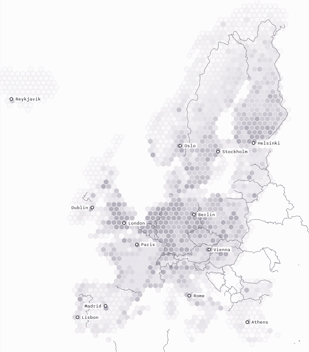
I made Walkably, a free walkability map for 31 European countries.
Streets, paths and places come from OpenStreetMap contributors (ODbL). Every street gets a score from 0 to 100.
How the score uses OpenStreetMap
- Reach is 60% of the score: the real walk on streets and paths to eight daily needs, such as groceries, parks and public transport. A shorter walk scores more, and the second and third option nearby count too.
- Street quality is 40%: traffic, busy roads nearby, summer shade and slope.