jpdfive's Comments
| Changeset | When | Comment |
|---|---|---|
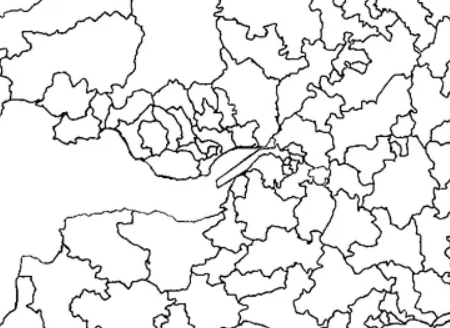
| 178636880 | Apologies, comment didnt post before when i fixed. The Gloucs/Bristol coastline had separately been changed to a coastline tag. Have changed some coastline/boundary tags back to Administrative Boundary tags to fix the broken loop. As for the estuary, it was marked as adminstrative boundary connected to the mainland and yeah, appears as a land border. Photo included:
|