OpenStreetMap logo OpenStreetMap

feyeandal's Diary

Recent diary entries

In this blog post, I am highlighting the significant contributions of the local chapters of YouthMappers in the OSM-Philippines community in 2022 and sharing a short reflection about the impacts of YouthMappers in a local context.

I want to start with this statement from Dr. Patricia Solis: “OpenStreetMap (OSM) community is a community of communities.” It captures the fact that OSM is more than just an online community; some diverse mappers contribute to the growth of the community. Some humanitarian mappers contribute data from a humanitarian perspective, helping minimize the impacts of disasters. Some hobbyists have been contributing particular knowledge all over the world for years. And now, corporate actors like Meta/Mapillary, Apple Maps, and Grab are contributing data concerning their corporate interests and for different use cases. Plus, there are local communities all around the world and also the local chapters of YouthMappers. It’s really impressive how OSM is a representation of different communities on the map. 🗺️

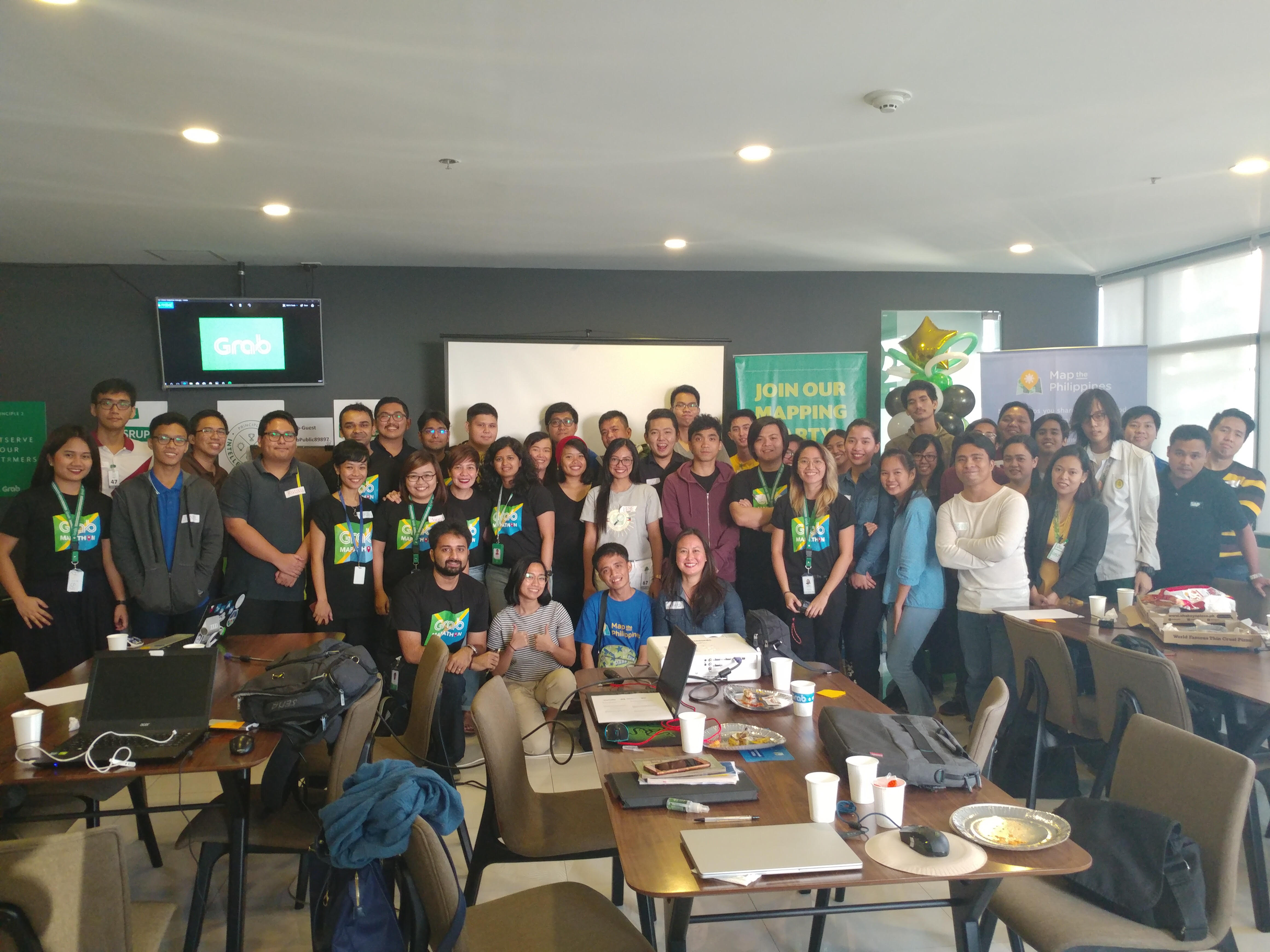
YouthMappers is one community that supports and makes up the OSM community. YouthMappers is an international consortium of university-level student mapping clubs with local chapters in universities of various countries. We leverage open data and open mapping such as OpenStreetMap to solve the development needs of the communities.

As young mappers, our goal is not just to build maps but to build mappers. We strongly believe that building the capacity of our mappers could forge collaboration among the communities and encourage the creation of more maps that could benefit the community. 💪

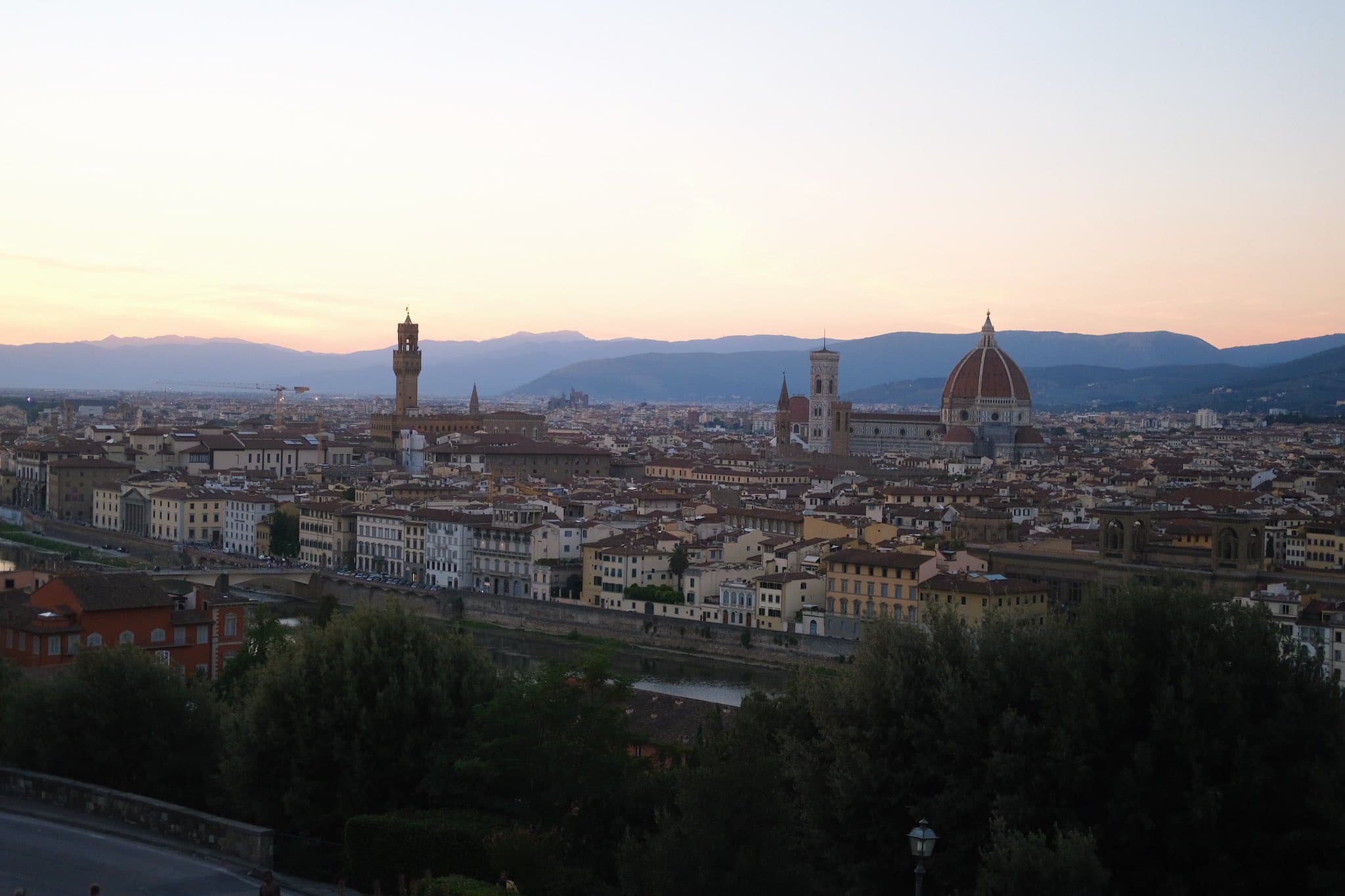
Based on the statistics last August 2022 provided by Jennings Anderson and Dr. Patricia Solis at State of the Map in Florence, Italy, YouthMappers has 324 university chapters on different campuses in 67 countries, and we are proud to say that most of our members are 45% women. 👏

See full entry

A month ago, Pista ng Mapa (PnM) and State of the Map Asia 2022 (SotMA) was held in Legazpi City, Albay. It was the first time we organized a face-to-face conference since the pandemic. For the past two years, we have been conducting Pista ng Mapa online since it was impossible to arrange an in-person conference given the risks of the pandemic.

PnM x SotMA 2022 Main Image

It is with no doubt that the participants had loads of fun, and the memories still linger on. But what are the secrets behind the success of Pista ng Mapa and State of the Map Asia 2022?

Joining the core organizing team - why and how?

See full entry

It has been almost a month since the annual State of the Map (SoTM) and Free and Open Source Software for Geospatial (FOSS4G) 2022 conferences, but the stories and experiences are still fresh in my memory. Both were the most awaited conferences in the open mapping and open software world and, undoubtedly, the best conferences I have attended.

SoTM and FOSS4G conferences were hybrid – held in Florence, Italy, and online. SoTM2022 was held last Aug 19-21, 2022, while FOSS4G took place on Aug 22-28, 2022. On top of the conference sessions and workshops, different organizations hosted additional events, like the HOT unSummit, and the YouthMappers documentary premiere. GeoChicas also hosted their social night.

firenze

The beautiful sunset in Firenze, taken at Piazzale Michelangelo

See full entry

Of being a part of the OSM-PH community

Posted by feyeandal on 27 June 2021 in English. Last updated on 28 June 2021.

Last September 2020, the OSM-Philippines community released the Call to Correct Narratives about Geospatial Work [in the Philippines]. We’re provided with an opportunity to share our own narratives and showcase the local community’s initiatives through a documentary-video produced by Amazon Web Services – Philippines.

snapshot

See full entry

Last 20 February, I hosted an OpenStreetMap workshop and Mapathon with the local YouthMappers chapters in the Philippines. It was attended by the members and volunteers from UP Resilience Institute Youth Mappers, FEU - Alabang ACM Chapter, and JPCS - National University. Together, we mapped San Ignacio, Tarlac. This was a great avenue for the students to meet and get together and help the local government of San Ignacio and support MapBeks’ initiative #UNMAPPED2021

Taken 20 February, PH YouthMappers unite to map San Ignacia, Tarlac

From this activity, we were able to add and validate a total of 2,146 buildings. We are hoping to add more and validate more data in the coming months!

I am also happy to share with you that University of Makati - Computer Society is the 5th local YouthMappers chapter in the Philippines! I am aiming to recruit more organizations to join the OSM community and YouthMappers network from Visayas and Mindanao islands in PH.

See full entry

2020 is coming to an end and we are all taking a moment to appreciate on the past twelve months. The HOT-Philippines Mapping Team members are hard at work to provide the best quality of data in our field operations and our remote mapping and training activities. To help you look back, we prepared a year-end report that summarizes our accomplishment for the year.

PhilAWARE Project

HOT-Philippines started the PhilAWARE Project last July 2019 which is a local installation of DisasterAWARE, a disaster risk reduction and integrated early warning and decision support system that also incorporates many data layers form OpenStreetMap.

Part of the activities of the project included remote mapping in the province of Pampanga and municipalities of Quezon City and Marikina City. Remote mapping and validation activities for Pampanga and Quezon City have been completed with the help of volunteers, organizations, partners, and other stakeholders while Marikina City is still in progress.

Aside from the remote activities, we also began collecting the data from the ground in the municipalities of Pampanga last August. Our field operations was made possible through the support of the local government offices and volunteers in Pampanga despite the restrictions of COVID-19.

OSMaPaaralan

Alongside the PhilAWARE Project, we supported OSM Philippines’ OSMaPaaralan Project which is an initiative to collaboratively map public schools (paaralan) in the Philippines using OpenStreetMap. Our team is validating location of schools in Pampanga and updating information related to emergencies. If you want to contribute and learn more, head over to the MapRoulette task and help OSM-PH complete the project!

Mapping in a Pandemic

See full entry

As of 21 September, the mapping and validation tasks for the campaign #PhilAWARE - #MAPampanga in the Tasking Manager have been officially completed. Quezon City and Pampanga are the two pilot areas for the #PhilAWARE project. Quezon City tasks were also completed on June 2020, as part of the #endcov initiative of HOT-PH and UP Resilience Institute.

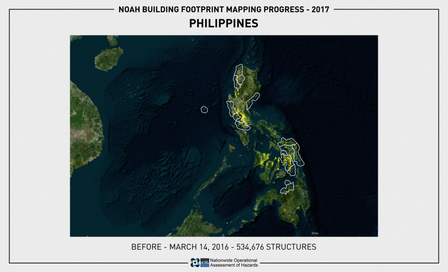
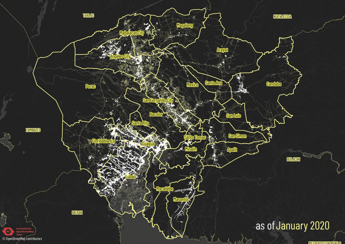
OSM building footprints and roads in Pampanga from January to September 2020

See full entry

Checking OSM Data Completeness

Posted by feyeandal on 16 July 2020 in English.

If you have a bunch of geospatial data (e.g. buildings, banks, hospitals, schools, etc.) and you want to ensure that the tags/attributes on each of your data is “complete” before uploading it to OSM, you may want to check its data completeness first. To assess whether your data is “complete”, make sure you have a list of tags that you expect from your data.

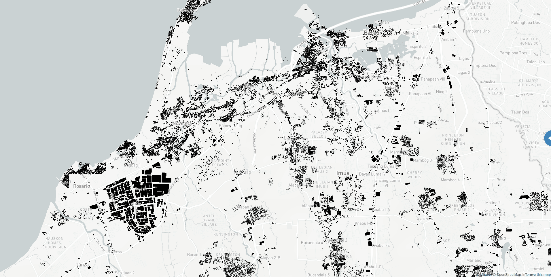
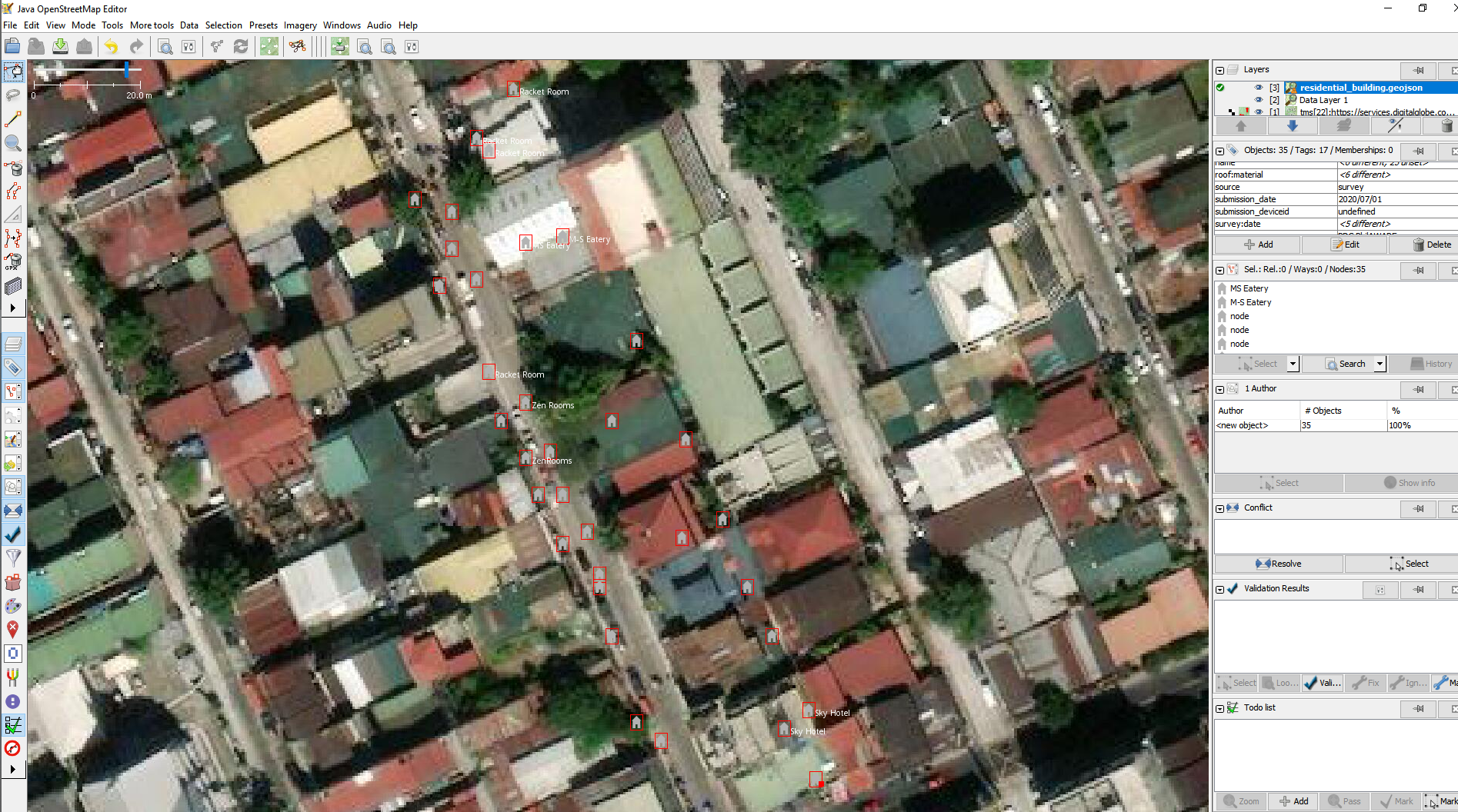
Sample houses data opened in JOSM

I wrote a simple python script to check the data completeness of a specific dataset.

Generally, the script opens and reads a geojson file and uses a json schema that allows us to annotate and validate every feature of the geojson file. The defined json schema is the set of attributes you expect from your data. If all of these are met, then the object is tagged as valid (complete), otherwise it is tagged as invalid (incomplete). The output from the function is then saved to a new csv file.

See full entry

In cooperation with the UP Resilience Institute (UPRI), the Humanitarian OpenStreetMap Team (HOT) – Philippines has completely mapped and validated building footprints in Quezon City, Metro Manila on OpenStreetMap as part of the response we are doing to end COVID-19 (#endcov). Quezon City is one of the most densely populated and hardest hit municipalities in the Philippines by COVID-19. The OSM building footprints were used by UPRI to develop a data-driven analysis and recommendation to the local government unit of Quezon City for the city’s pandemic response. This is also part of the PhilAWARE project to map the critical infrastructures across the Philippines.

The mapping initiative started on 20 April 2020 through the HOT’s Tasking Manager (#8385, #8386).

See full entry

Lately, I’ve been sitting with emptiness, constantly battling with my depression and anxiety, yet fighting to exist in my everyday life. I feel like my pursuit for finding meaning and purpose in life that transcends change never ends. And as I live my life, I tend to look for something positive hoping to fill that void. Well, I guess this is what #existentialcrisis does to me.

Luckily, I got a partial support to attend SoTM and HOT Summit in Heidelberg, Germany. Of course, I do not want to miss this great opportunity. I haven’t attended a global SoTM conference before, and this news gives me another hope in life or at least something to look forward to. And maybe, just maybe, this is the ‘something’ I’ve been looking and waiting for. The ‘something’ that can numb the perpetual feeling of emptiness.

And since I only applied for partial support from SoTM (only the accommodation fees and conference tickets were covered), I need to ask my employer to cover the remaining travel expenses I have. Unfortunately, I was informed that there are no available international travel funds for non-contractuals like me. Sucks, right? The fact that UP couldn’t support me keeps me up at night and eats at my soul again. But I do not want to give this opportunity up. No, not yet. And so I took my chances and talked to some people in the OSM Philippines community about my dilemma. Although they also couldn’t provide financial assistance for me, I am still grateful as they have shown overflowing moral support to me, especially when they learned I got nominated for the OSM Awards 2019.

I don’t want to give this up, as I have been eyeing to attend global SoTM since 2015. I was left with nothing but to support myself financially in this journey. I realized that nothing really comes easy, and so I need to take risks, even if it costs me a lot.

See full entry

In celebration of the Geography Awareness Week, Grab, Map the Philippines and OpenStreetMap Philippines co-organized a mapping party to teach people how to map, and meet other mappers. It was held at Grab PH’s headquarters in Makati and was attended by volunteers, students, government employees, NGO workers, and Grab personnel.

OSMGeoWeekPH

Celina Agaton talked about the objectives of the mapping party and also introduced her organization, Map the Philippines.

It was followed by an introduction to OSM and Tasking Manager by David Garcia.

See full entry

Project NOAH has finished mapping the building footprints of ISAIAH’s 15 target provinces and an additional province for “good will”. The completion of its mapping initiative was made possible through the help of several organizations and individuals such as MAVC program, Aurora Provincial Disaster Risk Reduction and Management Office, UP Rockhounds, Geographic Society of the University of the Philippines (GSUP), Eastern Samar State University, Eastern Visayas State University, UP NSTP-CWTS program, and OSM-Philippines contributors. NOAH finished mapping the building exposure data of Abra, Aurora, Bataan, Batangas, Biliran, Camiguin, Cavite, Eastern Samar, Ilocos Norte, Ilocos Sur, Leyte, Misamis Oriental, Northern Samar, Samar, Southern Leyte, and Zambales. NOAH also mapped the building footprints of Pateros and Taguig City of Metro Manila.

Philippines Before and After Edits NOAH

See full entry

About

As a part of Project NOAH’s mapping initiative, a team was sent to Region 1 for another installment of the OSM and Capacity Assessment Workshop. From 6-13 November 2016, planning and preparation for the workshop proper were done. Project NOAH sent a team with six personnel, who served as lecturers/speakers and proctors for the said activity.

intro

The workshops’ goal is to engage Local Government Unit officials in helping Project NOAH build a disaster resilient Philippines. Since NOAH has long embraced public participation to improve emergency response and disaster mitigation throughout the country, it is but proper to take this crowdsourced and collaborative effort to the ground, thus, to the LGUs’ jurisdiction.

The schedule of the workshop was as follows:

November 8, 2016 in La Union with 57 participants (La Union Provincial Hall, San Fernando, La Union)

November 10, 2016 in Ilocos Sur with 57 participants (Baluarte Auditorium, Vigan, Ilocos Sur)

See full entry

DOST - Project NOAH (ISAIAH) finishes mapping building footprints in Cavite

Posted by feyeandal on 29 June 2016 in English. Last updated on 2 July 2016.

OpenStreetMap contributors, through the initiative of ISAIAH (Integrated Scenario-based Assessment of Impacts and Hazards) component under DOST - Project NOAH (Nationwide Operational Assessment of Hazards), have recently completed mapping the building footprints of Cavite.

gif

One of the objectives of ISAIAH is to map the exposure elements such as buildings and critical facilities. Identifying the critical facilities such as schools, hospitals, and government offices, and other infrastructures will be essential in determining the areas vulnerable to disasters and can be used as a starting point in reducing disaster risk. All of these data will be used in improving community disaster management before, during and after emergencies. This initiative involves a collaborative partnership with the OpenStreetMap community.

See full entry

OpenStreetMap Workshop in Bogo, Cebu

Posted by feyeandal on 23 February 2016 in English. Last updated on 3 March 2016.

Last February 9-11, the Philippine Red Cross (PRC) and the Croix-Rouge Francaise hosted a 3-day OpenStreetMap workshop in Bogo, Cebu, as part of their Northern Cebu Risk Mapping project. This participatory project aims to improve the base geogspatial data coverage of Northern Cebu for use in disaster response, climate adaptation, risk mitigation, and support other humanitarian initiatives. It was attended by local government staff from Bantayan, Daanbatayan Island, Bogo, and local PRC volunteers.

  • Day 1: Introduction and Basic Editing on OSM

Day 1 consisted of an introduction to the PRC project and a general overview of OSM and OSM-Philippines. A presentation of the objectives of the data collection and an introduction to the mapping components were also given. Before the discussion of the OSM website, we had an activity wherein participants were asked to draw their vicinity map and explain their maps afterwards.

One map caught our attention, though… it’s 3D!

See full entry