Using Global Building Data
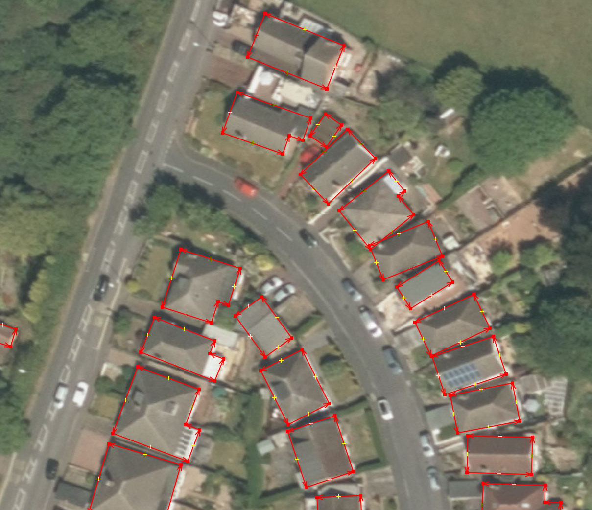
Posted by coolmule0 on 6 August 2022 in English. Last updated on 8 August 2022.Microsoft have recently released their “Worldwide building footprints derived from satellite imagery”. This is a dataset containing the shape and positions of houses. It covers many parts of the world and is derived from Bing aerial imagery with the use of deep learning.

I find these footprints interesting for numerous reasons. The focus here will be to use the data to aid in mapping. There is further information on the OSM wiki.
In this diary entry I want to explain how I got the data into JOSM. In a following entry I will explain how I use this data to speed up building mapping.
Obtaining the data
The data is freely available on Github. It is licensed under ODbL and is compatible with OpenStreetMap. Each available country has its own zip file. Some of the files are of the order of gigabytes - far larger than can be opened in regular software. Pick a country and download the zip file.
