OpenStreetMap
acres1nvented's Comments
| Changeset | When | Comment |
|---|---|---|
| 187389383 | By the signs I mean the main signs at the main south and north entrance to the park. It is possible other signs may refer to it by the Talacre Town Green name but this principal name seems to be Talacre Gardens. |
|
| 129571668 | Haha, yes I actually did the survey before I even saw your edit, I was surprised to see the map already had the buildings I'd just surveyed! Thanks for pointing that out - the hazards of mapping multiple cities :') |
|
| 93751961 | Hi there,
|
|
| 71198588 | I checked on the street sign on the ground and it's definitely Clarence with an e, I have fixed it. I find those estate maps are often not 100% accurate. |
|
| 90996865 | I think you are right, it does seem to be marked as a road over the yards in historical maps. I believe I must have assumed when surveying form the architecture that it was part of the rail track to the yards. I agree on your tag suggestion, please go ahead and change it or I am happy to if you would like. |
|
| 100160118 | Out of interest, would highway=tertiary be a more appropriate tag for the areas of TCR you've classed as highway=service? This is a route that is heavily used by cyclists as well as just buses, and has much traffic outside of hours, so classifying it as just a busway, even with the new restrictions, feels odd to me? Interested to hear your thoughts as TCR is in a fairly niche category of bus gated but large roads |
|
| 97312154 | No worries! Glad someone else is mapping around this area! |
|
| 97312154 | Are you sure York Mews is private? I know the area well and specifically surveyed the area including York Mews recently. There are no gates or barriers preventing physical access, and as far as I can tell York Mews is a council managed road, with no form of private restriction. There's no particular reason to go down what is essentially a dead end service road, but that does not make it private. What are your thoughts? |
|
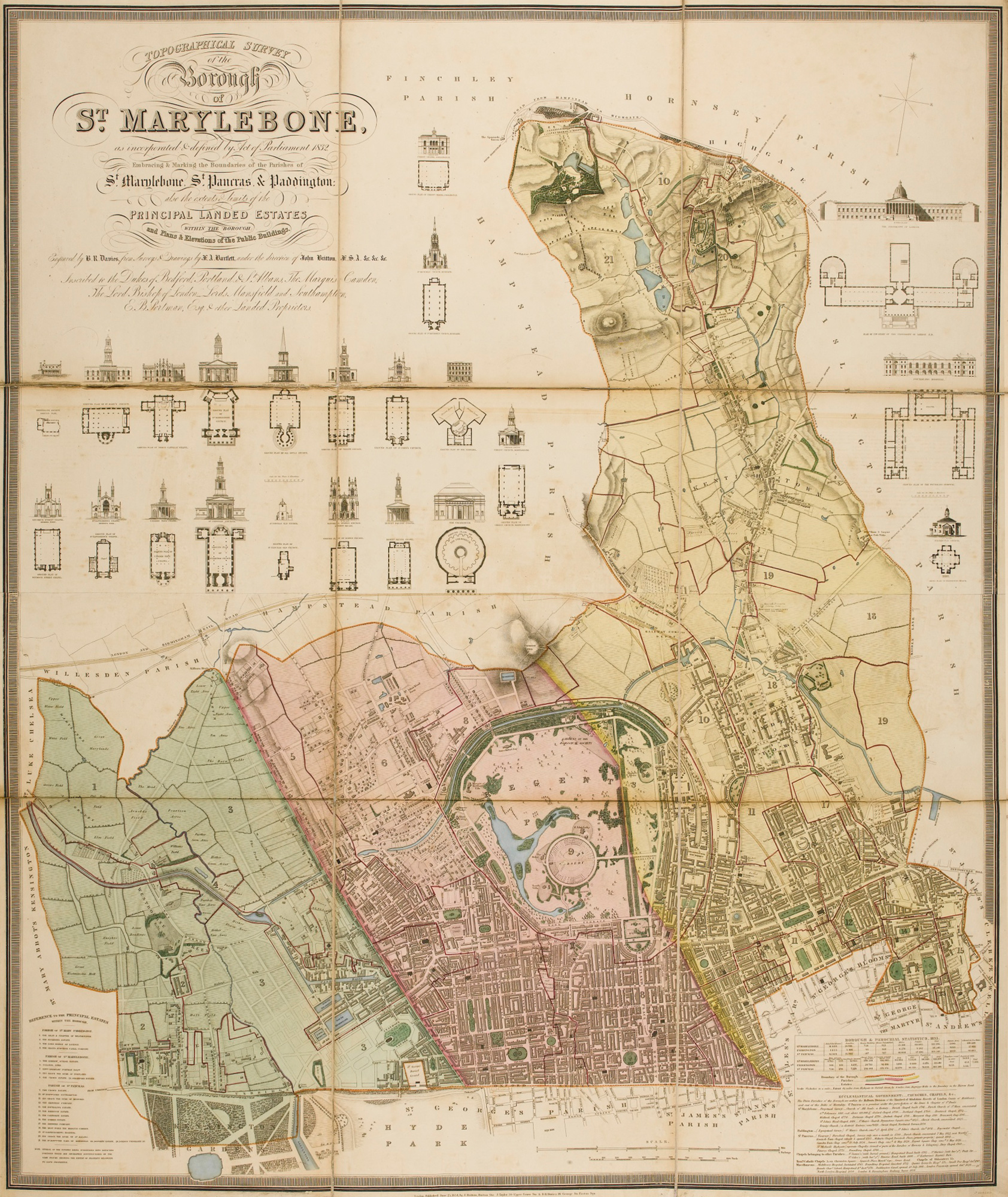
| 94539797 | Do we think this is the best place for this node? If we look an an old map of St Pancras parish: https://upload.wikimedia.org/wikipedia/commons/5/59/LONDON%2C_MARYLEBONE_by_BARTLETT%2C_F.A._and_B.J._DAVIES.jpg (in yellow), this is mere metres from the boundary of the old parish. I would suggest that, if we have the node at all (given how St Pancras is a fairly historical designation), that the node should be closer to the St Pancras Old Church, to the north of St Pancras station. I'm interested to hear your thoughts. |
|
| 89108010 | I agree with domi_id; it also specifically states on several entrances to the canal that it is a footpath where considerate cycling is permitted. I suggest that we instead revert to tagging the towpath as highway=footway, bicycle=yes. Thoughts? |
|
| 89822317 | Can I ask what the source is for this name? I was under the impression that the whole square is Torrington Square and can't find a source for this bit of it being named Birkbeck patio? |