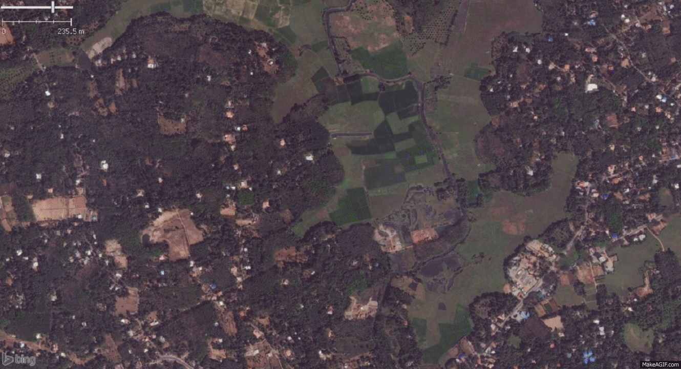
Road Transport Network in the city
Made an attempt to map some of the sidewalks in Kottayam City. Kottayam has a well established Road Transport Network provided by private parties as well as the government, so there is always a good number of vehicles inside the city. Using sidewalks ensure the safety of pedestrians. In a city like Kottayam, some of the major roads do not even have sidewalks. Hence I decided to take a stab at mapping some of the important ones in the city as a first step to provide a pedestrian/wheelchair friendly map for the city.
Mapping Alternatives
I decided to map the sidewalk a separate way next to the road for the sake of simplicity. Would like to know if adding a separate geometry is considered redundant and makes the maintenance more difficult. Is it better to tag Sidewalk as refinement to a highway?
Limitations/ Next steps
Also noticed that the satellite imagery does not display enough details to complete the mapping mostly due to tree cover and other features blocking the view. Will need to personally visit the city with a GPS device and record the details before I can complete the side walk details for the entire city.