OpenStreetMap
McKulkin's Comments
| Changeset | When | Comment |
|---|---|---|
| 186486180 | no need for extra clarification because they're already in the boundaries of Birtvisi |
|
| 184767852 | I'm about to revert this changeset. It's a trodden trail running through a forest with barely any work done on it. It's inconsiderate to remove a trail's physical tags. Thanks.
|
|
| 129740584 | node/9183761238 - I can't remember clearly, but I think there were no info boards at that trail junction. Please clarify. |
|
| 164026952 | We didn't pass by them (and my app won't display without proper tags anyway), so I can't add anything valuable, sadly. Thanks. |
|
| 145705410 | Based on what was the change to way/532253465 made? Thanks. |
|
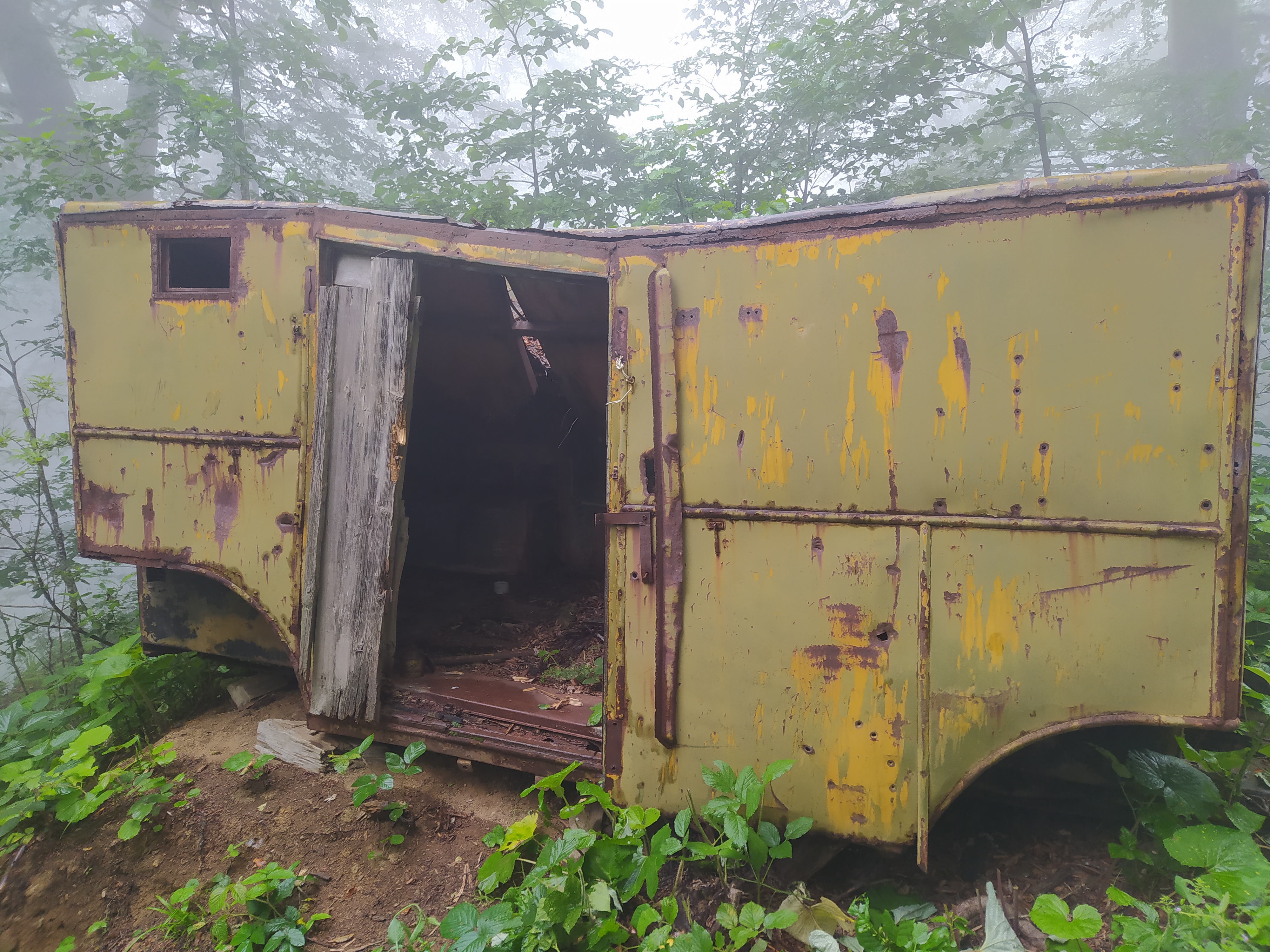
| 180906808 | `historic=vehicle` is exactly what I was looking for. Could not have been a better suggestion! Thanks. |
|
| 184034829 | hi. is node/11986715547 safe enough now? Thanks. |
|
| 164026952 | Same with:
|
|
| 164026952 | node/12696335188 - "historic" what? That tag can't be used alone. |
|
| 152118318 | Much appreciated! |
|
| 155255795 | way/1307816387, way/1184790805, way/1307816389 are incorrectly aligned, partially or as a whole. Also, the trail is more sophisticated than shown. |
|
| 152118318 | Hi. node/10769237170 to way/1157989466 is impassable. There's a 4m drop out there and there's no bypass path of any kind. Please, clarify. |
|
| 183009511 | *sighs*
Take a look: https://maps.app.goo.gl/Wh4Cv5Qtz5MsctPq9 - this would be the point where your intercity minibus would try to find a place to fit in to make a long stop to pick up passengers likely carrying some baggage (a lot of it). It can't stop at a city bus stop because it would create chaos. Thus it stops further up the street along the "taxi" area. The view that you're seeing ^there - you're looking at the city bus stop where the city mini[+buses] stop. There's a sign and a pavilion, and an electronic timetable. The mapped bus terminal that you're referring to is @ https://maps.app.goo.gl/sdLNBUC9kJPD2W396 , isn't it? Have you actually tried entering that area past the gate and snapping some photos? --
|
|
| 154854983 | Thanks for connecting the path. It makes more sense now. |
|
| 182896496 | I don't think so.
|
|
| 183009511 | Someone's running a shady minibus op in my Georgia? No way!
|
|
| 180906808 | *change it back to "shelter" from "building" |
|
| 180906808 | Dear community, please help me with what I've done to node/10873851305 . I believe it's labeled correctly, but neither the OSM renderer, nor mapy.com, nor OsmAnd seem to display it.
|
|
| 154854983 | way/1305763893, way/1305763894 what is this thing and why? Thanks. |
|
| 151909104 | small update- After some back-and-forth, it seems like NAPR is completely unenthusiastic about clarifying the license and the age of the data they're providing via the "base" layer. The work's actually been sponsored by the EU members and was completed in 2022. It's pretty safe to assume nothing's got updated since then (and the EU stopped the allocations), which practically sets the age of that data to at least 5 years old. I understand that the map would be empty without the cadastral data, but given the circumstances, I'd suggest relying more on personal experience when populating the map. Thanks. |