Thank you to all the people who volunteered their time to make this conference possible. Great people. Ambitious ideas. Very fortunate to be part of something so big https://photos.app.goo.gl/yqnKAGk46uufhSB72

MapMakinMeyers's Diary
Recent diary entries
http://www.openstreetmap.org/#map=8/44.924/-93.884
I hope this isnt a dumb question - but why isn’t Minneapolis > St. Paul? I am assuming it is because it is a capital, but I think every other map I have ever seen always has Minneapolis slightly bigger font for the label. Happy Monday
https://www.google.com/maps/@44.8718971,-92.7734437,7.75z
bing shows St. Paul over Minneapolis
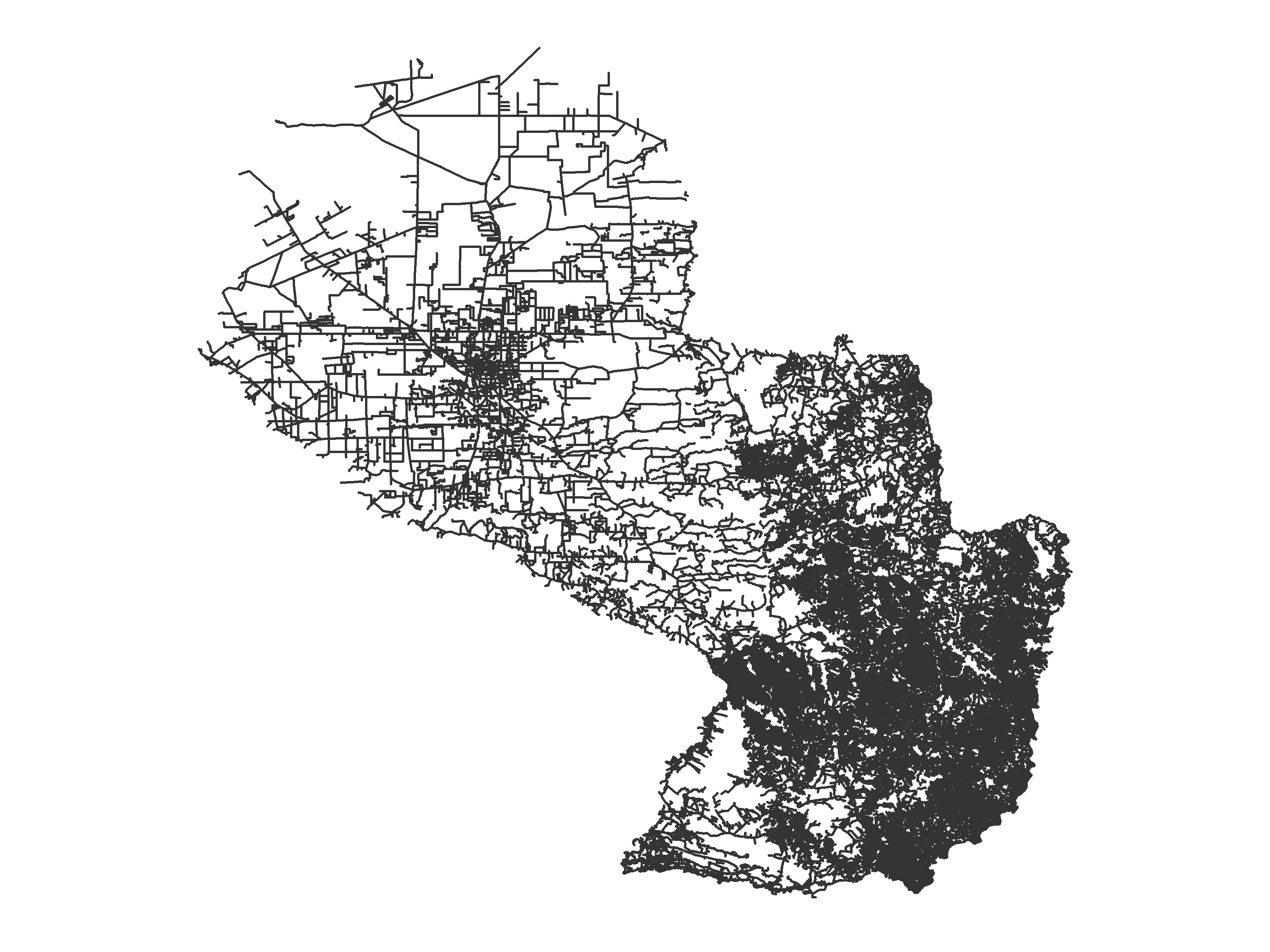
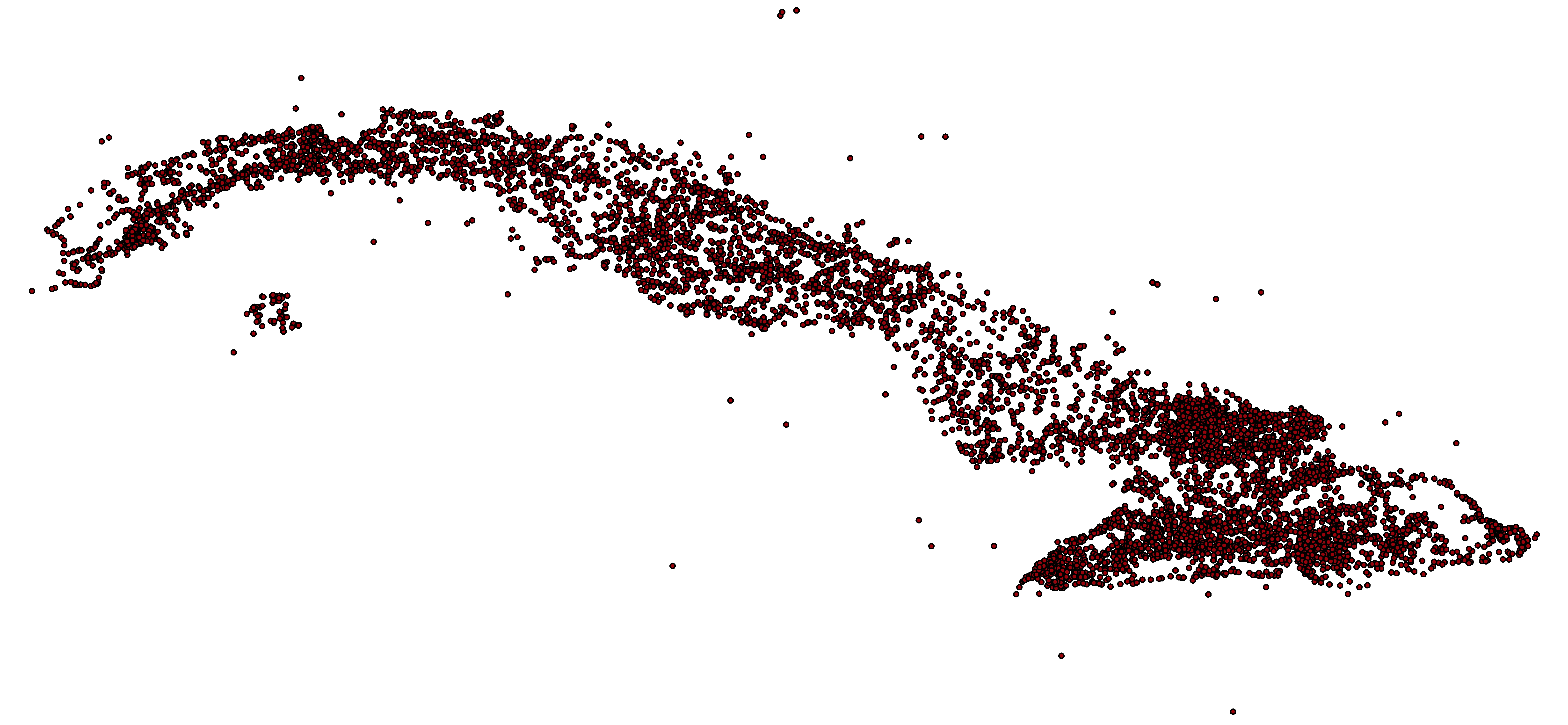
https://revolutionarygis.wordpress.com/2016/08/08/paraguay-shapefile-data/
Fuente y licencia are posted in the github repository where you can download.
Good Way to start the week ;)
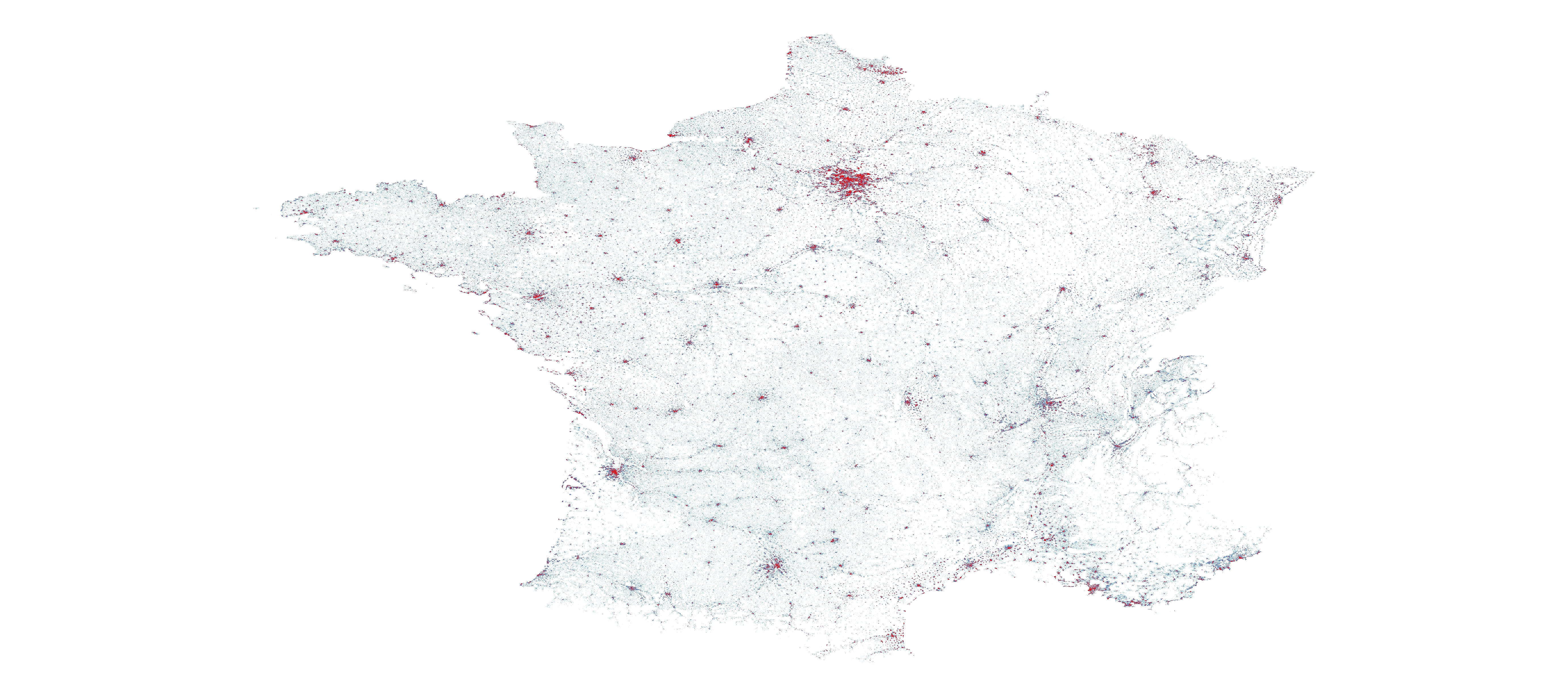
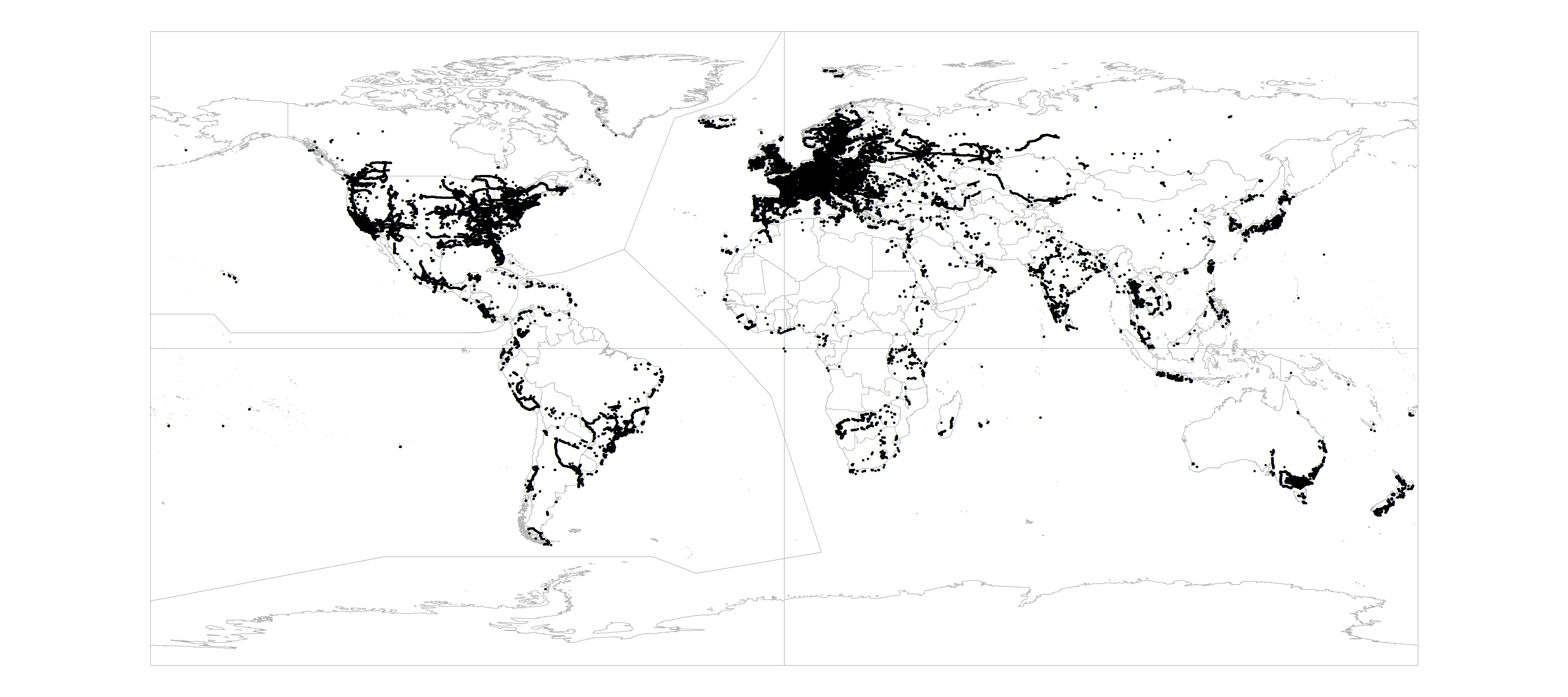 https://revolutionarygis.wordpress.com/2016/04/27/mapillary-photo-location-data-dump-analysis/
Still working on the analysis, arcgis doesn’t work well with big datasets…
Results coming soon!
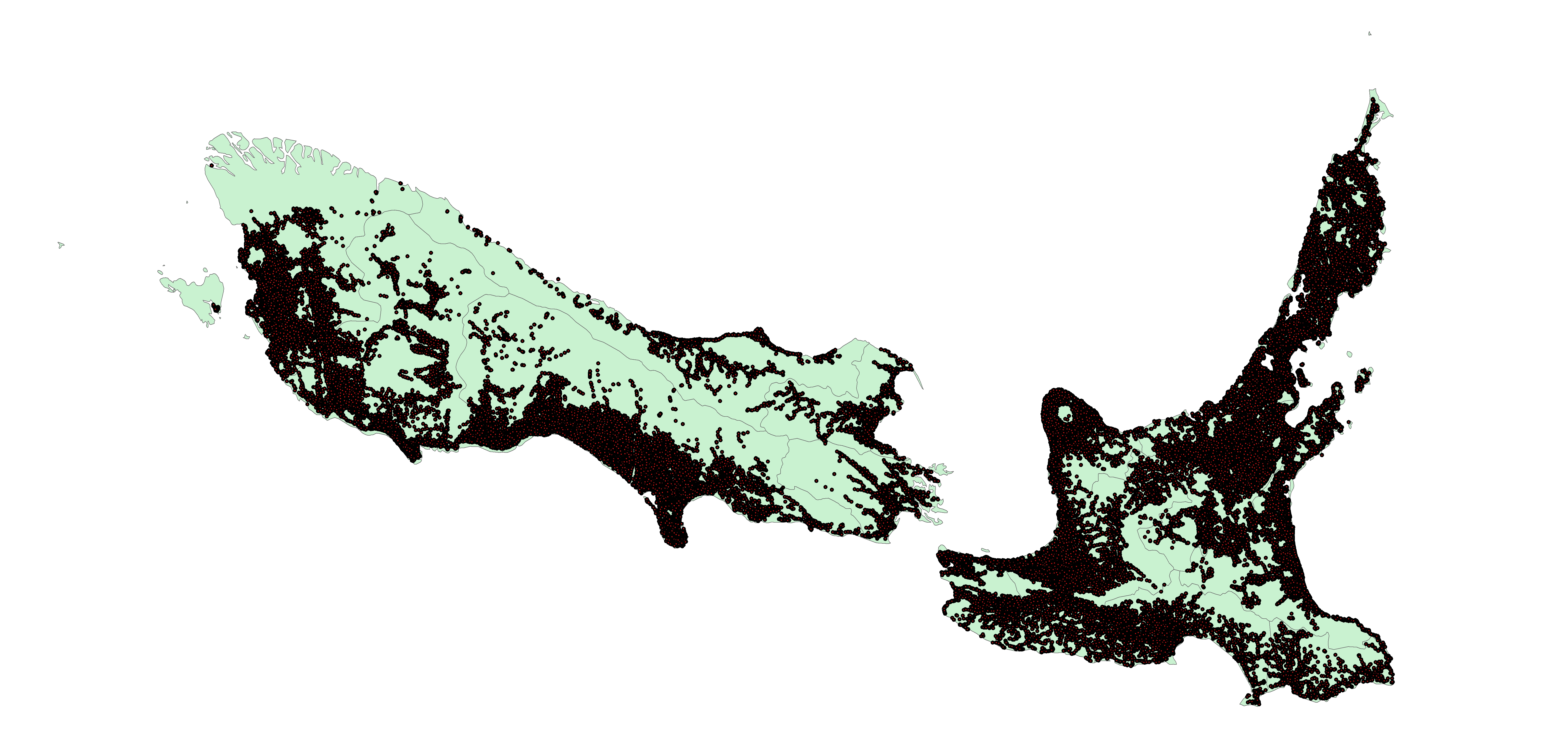
New Zealand road network and address point open data
Posted by MapMakinMeyers on 15 April 2016 in English.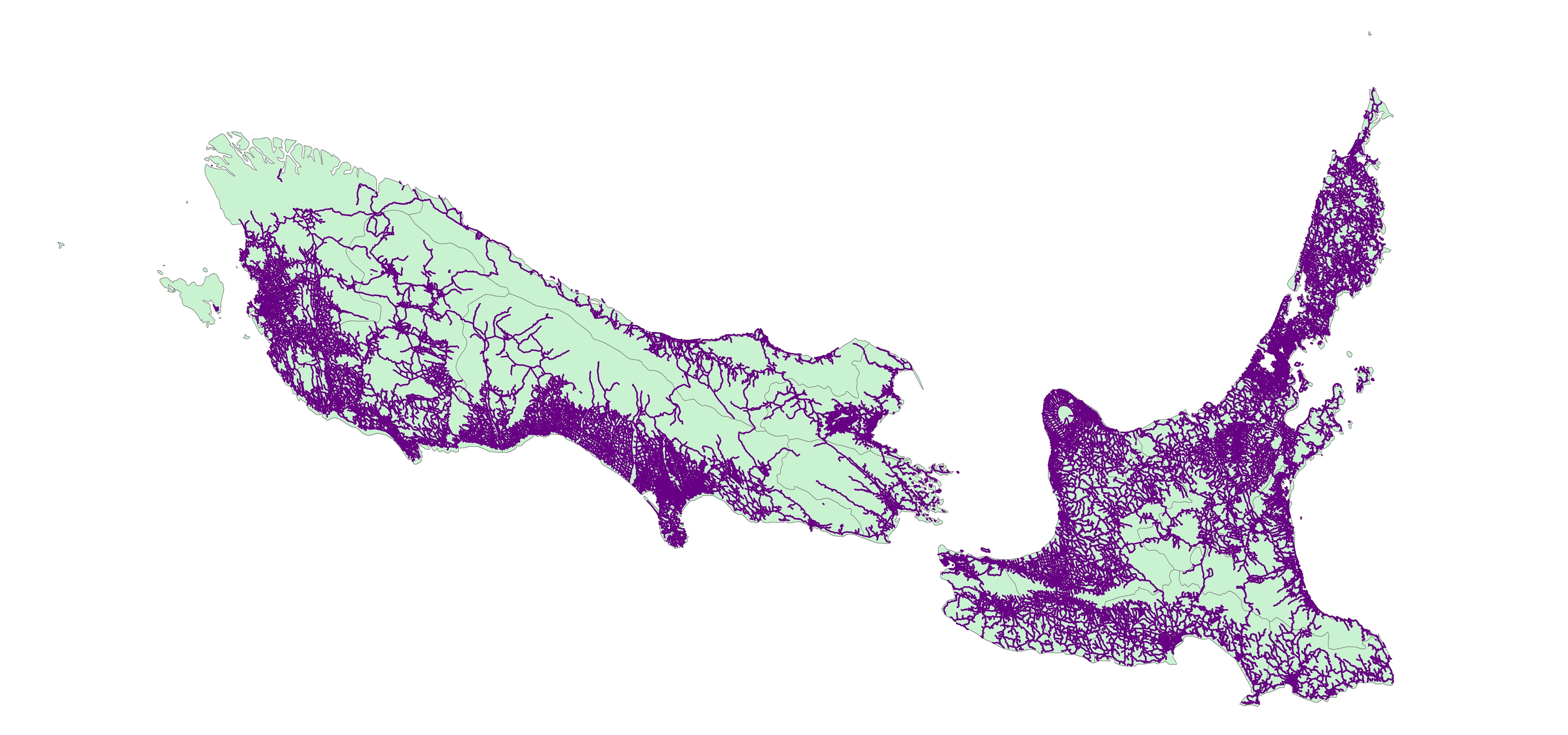
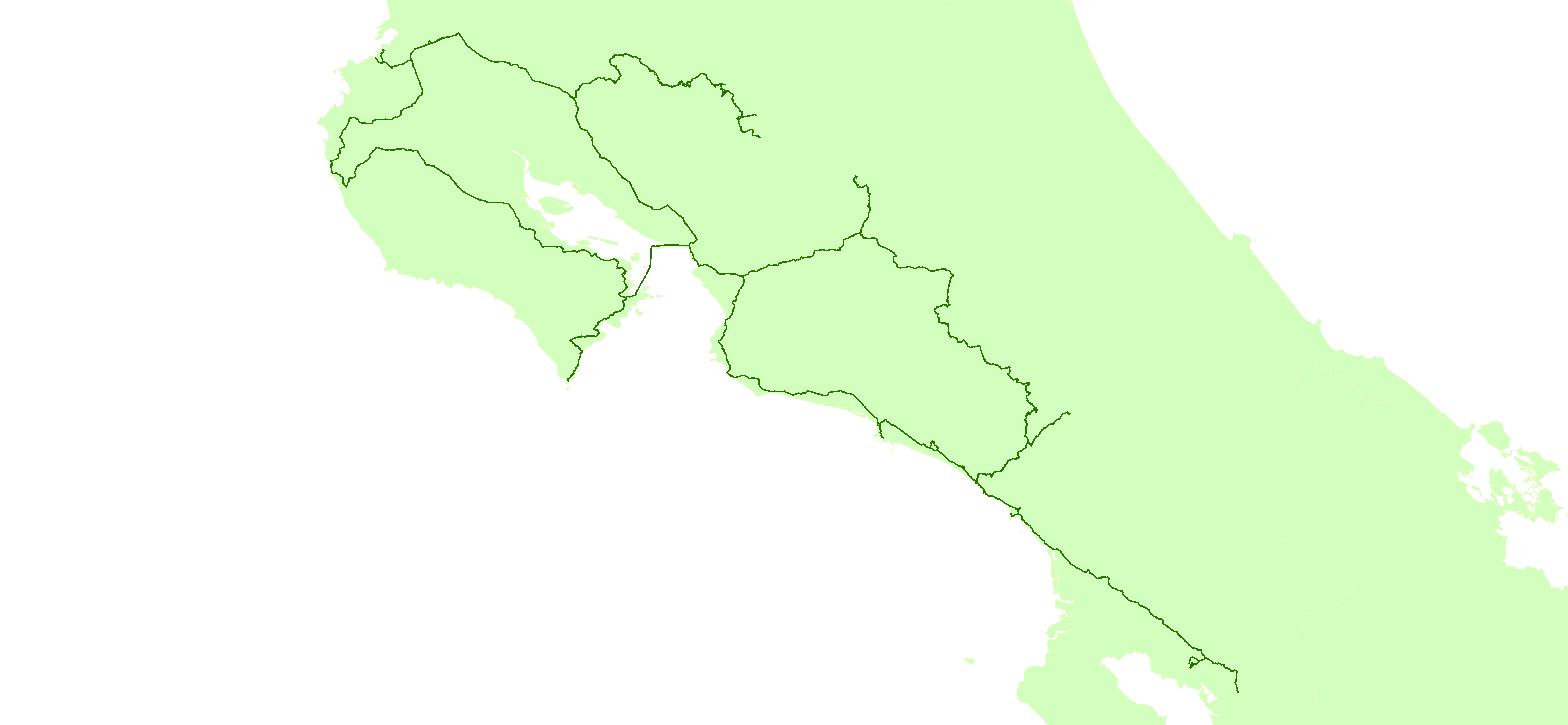
I created this data with a Garmin 64st.
while driving I used a 1 second interval
while hiking I tried to change it to 3-5 seconds (if I remembered). The ferry from Paquera to Puntarenas I believe i did every 8-10 seconds.
I also saved my tracks with a Olympus Stylus TG-2. This data is pretty rough though (but there is one line when we went white water rafting that shows the river that I did not bring my GPS on).
I release this data to the public domain – you may use for any purpose.
https://revolutionarygis.wordpress.com/2016/03/13/gps-tracks-from-costa-rica-trip-march-2016/
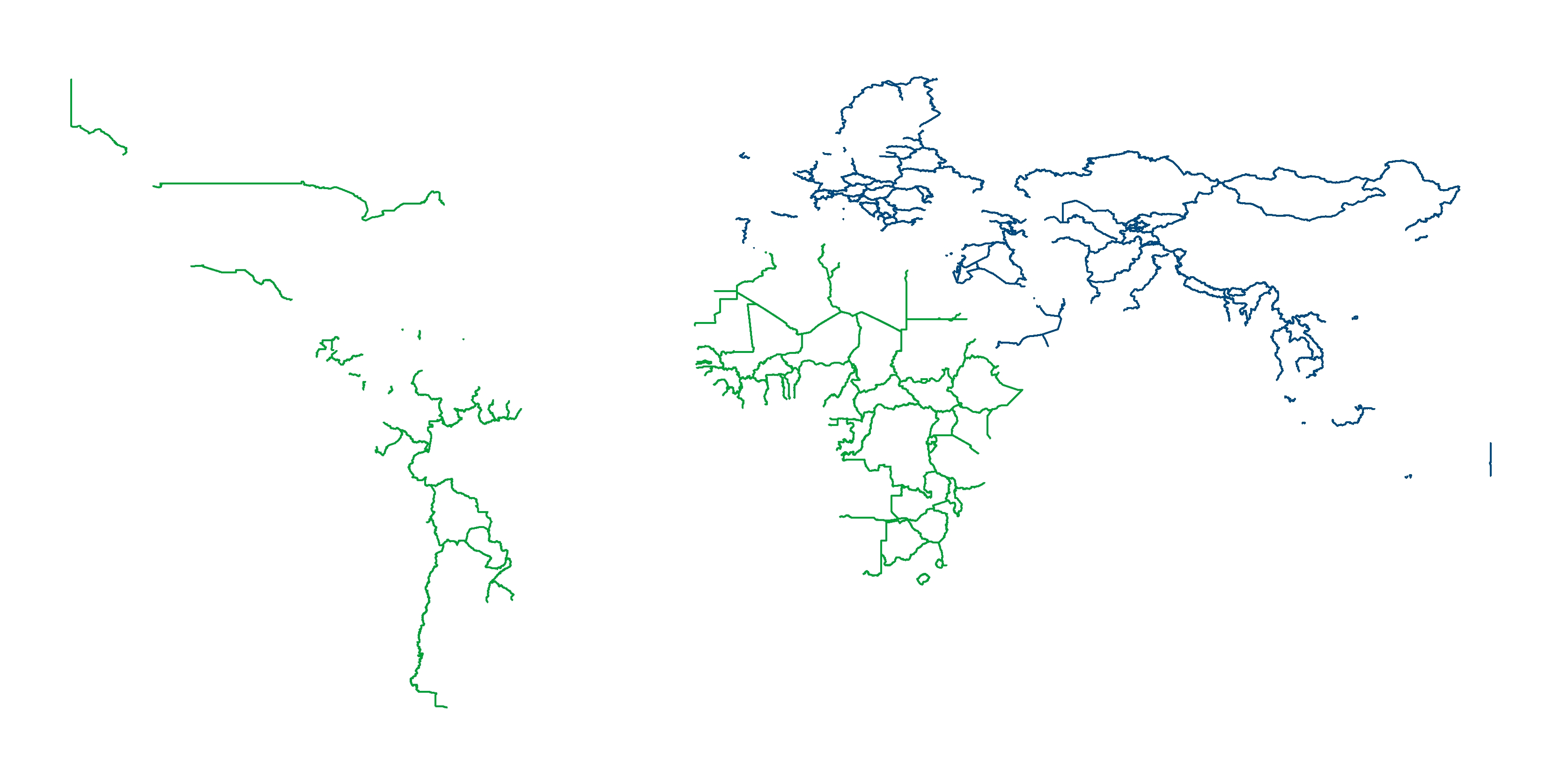
Tons of official admin boundary shapefile data released
Posted by MapMakinMeyers on 14 February 2016 in English.Posting here currently :https://github.com/justinelliotmeyers?tab=repositories
Let me know what nations you need. I have admin boundaries for most nations.
Cheers!!

started to do some mapping in Africa. noticed a pretty large shift in the data/ imagery here: https://www.openstreetmap.org/edit#map=16/1.4095/27.6095
yikes - data looks nice, but there is a serious shift
has anyone downloaded the entire Canvec+ data and merged all features together, then incorporated the names (joining from the id?)
Cheers!
Mapping Argentina (Research Project) Time Lapse *GEONERD....
Posted by MapMakinMeyers on 6 November 2015 in English.looking around the maldives, it has some pretty rough coastlines or islands missing altogether. I am assuming most of the coastline data was from the prototype global shoreline data from the NGA (which is junk). get out and map some islands people!!!
have a good weekend!
https://www.dropbox.com/s/h4z6bnf8wdrfr82/maldives_landsat_654_composite_08282015.jpg
unfortunately, tragedy brings about open data and huge osm efforts in remote locations that lack any data. Recently after the earthquake in Nepal, imagery, vector data, and tons of information are appearing on the internet every hour. very good sources are listed here: https://sites.google.com/site/nepalearthquakesatellite/
Also, the NGA has some data available: (ebola and nepal) https://nga.maps.arcgis.com/home/
if you go to the main Nepal page they have several pdf atlases: http://nga.maps.arcgis.com/apps/MapJournal/index.html?appid=bbbb3a2d7d8d42969f6ddeeb5d8c0e73
the red icons are for the pdfs that use OSM data.
Did anyone see the Sochi maps they leaked after the olympics started? same source: OSM. http://www.lib.utexas.edu/maps/commonwealth/sochi_2014_winter_olympics_reference_graphic-2014.pdf http://www.lib.utexas.edu/maps/commonwealth/sochi_2014_winter_olympics_talking_map-2014.pdf
the question i have is can governments use OSM data, then make it classified? Once you take the data and build upon it, don’t you have to share it back (https://www.openstreetmap.org/copyright)? you can file FOIAs until your blue in the face and they would never confirm/ deny OSM exists… but shouldn’t they follow license agreements put in place? I have reached out to them with regard to their open data for Ebola months ago. They do not respond to my e-mails. More of a rant I guess then a question. Cheers!
Vote for this data so the New Zealand Fire Service opens up some gis data to the public: https://diadata.cwp.govt.nz/datasetrequest/show/226
Thanks!