MapMakinMeyers's Diary Comments
Diary Comments added by MapMakinMeyers
| Post | When | Comment |
|---|---|---|
| Mapping public bookcases, part 5 | This is super cool! Thanks for doing this and sharing!!! |
|
| Munti Macini, Romania | Hey! I just came across some of your edits in Papua New Guinea. I just wanted to say thank you! |
|
| Notes from Lake Superior Bike + Map Part 2/2 | hey! thanks for sharing this! I live up here in the summer and am around these parts daily - hope you enjoy the ride. Finally a little cooler, cloudy. Not 1 million mosquitos. Wildfire smoke has rolled in, so hopefully you made it through without losing a lung. Appreciate you sharing with everyone. Safe travels! |
|
| Address import in Lithuania | Is this the raw data? https://www.registrucentras.lt/p/1202 |
|
| Address import in Lithuania | do you have the wiki for the import, or the raw source? Thanks! |
|
| Blake Island treasure mapping. Yar! | I love this post! Thanks for sharing!!! |
|
| Update of the IBGE 2019 Census Sector Network. - Brazil. | Thanks for sharing the resource, Do these have total population tables associated with them. I see the boundaries for some of the 2010 data has changed in this version - have you evaluated with satellite imagery to confirm the adjustments? I do have a few questions about other datasets from the IBGE too if you could assist. Messaging me or email might be more appropriate if you could? Thanks for the quick response! Justin |
|
| Update of the IBGE 2019 Census Sector Network. - Brazil. | Raphael, Could you assist me with questions I have about this? Thanks! Justin |
|
| North Carolina Mountains-to-Sea Trail complete (almost) | we did a small section from 35.501045, -82.593930 to 35.481572, -82.626138 (although not 100% on the MTS system) - amazing! the hill whooped us!!!!! thanks for sharing!! pic of section https://drive.google.com/file/d/1jBE51JTVsxcg3L67wRUfW7JsriAXK1Kp/view?usp=sharing |
|
| Sad day for VGI in Turkey | @unen do you have the webpage explaining this? Thanks! |
|
| Too bad I don't have a camera rig | I’ve been doing this for the past five years! But I never made it a point to take routes I normally wouldn’t. Maybe that should change!! small snapshots: https://revolutionarygis.wordpress.com/2016/12/03/1781/ |
|
| Farmland data from Japanese Government | Is there a download page for these? Thanks!! |
|
| Bagyr and Yanbash | I wish I were there to help! This is beyond amazing work; thank you so much!!! Justin |
|
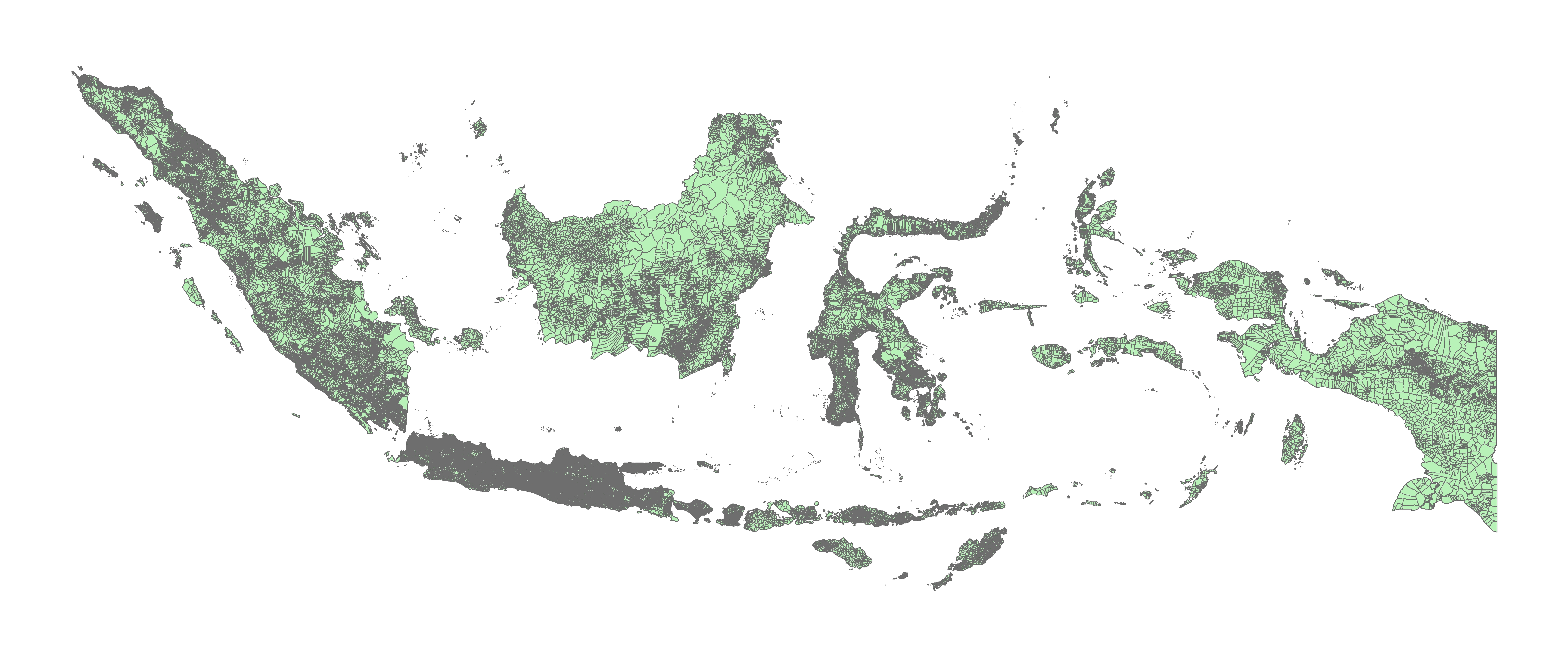
| Indonesian Political / Administrative Boundary | You can download the Desa boundaries. The difficult part is having them agree to us importing into OSM, and you have to get the larger OSM community to agree on the import (*which is just as difficult).
|
|
| OpenStreetMap 13th Anniversary Birthday party in Minsk, Belarus | This is Amazing! Cheers! |
|
| The OSM street network is more than 80% complete | where do you get the ~23% of the world’s roads are in the US figure from? I didn’t see a source for that figure in the paper? |
|
| The OSM street network is more than 80% complete | I map a lot of places in OSM. ( https://yosmhm.neis-one.org/?MapMakinMeyers) I think your numbers are way off (especially after looking at your first post, now your new number). Do either of you actively map in OSM? You would get a better feel for what is missing where and have a better grasp on completeness. Cheers |
|
| Iraq village cleanup | I downloaded a ton of NGA data when it somehow was released to the public if you would like that to help with such a project. There are a few other datasets that could help along the way too if you need resources |
|
| What should I do with my GPX files? | here’s the larger image: https://revolutionarygis.files.wordpress.com/2017/05/gpx_may.jpg |
|
| What should I do with my GPX files? | I use these: https://play.google.com/store/apps/details?id=com.eartoearoak.gpxlogger http://www.dnr.state.mn.us/mis/gis/tools/arcview/extensions/DNRGarmin/DNRGarmin.html create monthly backups |