
FajrAl
- Mapper since:
- February 10, 2015
- Last map edit:
- August 03, 2026
Import account (currently not active) ● HDYC ● HOTOSM ● OSMCHA ● Your OSM Heatmap ● OSM wiki ● OSM community ● Openhistoricalmap
Hello! I’m Ali, an Urban and Regional Planning graduate from Indonesia with a strong interest in GIS, cartography, remote sensing, and open geospatial data.
I actively contribute to OpenStreetMap through field surveys, imagery interpretation, land cover mapping, data validation, and quality assurance. I am interested in land use and land cover mapping, particularly mapping the wetlands, and improving the completeness and accuracy of geographic data.
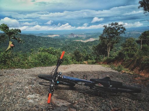
Outside of mapping, I also enjoy adventure cycling, which often leads me to discover and map previously unmapped roads, trails, and points of interest.
Major mapped area:
- Land use, land cover, and trail of Parung Panjang, Rumpin, and Cigudeg
- Traditional Sundanese conservation settlement of Kawasan Kanekes (Baduy)
- Pulau Sangiang land cover
- Rawa Danau land cover
- Maumere Bay Islands Nature Park land cover
- Setu detailed mapping
- The Mozia detailed mapping
- Benda Baru detailed mapping
- Pulau Sangeang land cover
- Wetlands in Batam: [1], [2],
- Wetlands in Papua: [1], [2],
- WIP Komodo National Park land cover
Diary
Latest Diaries
Diary Entry SEO Keywords Online Gambling Spam in Indonesia
Pola Keyword SEO Spam Judi Online di Indonesia Hasil pengamatan menunjukkan bahwa changeset SEO spam judi online di OpenStreetMap memiliki pola ya...
Diary Entry Customizing better-osm-org Changeset Colors using Stylus
If you use the amazing better-osm-org browser extension/userscript to review changesets, you are probably familiar with its default red, green, and...
Diary Entry Lombok Admin Boundary: Moving Eastward!
Alright, after successfully updating the boundaries in Bali, now, I’m shifting my focus further east across the Lombok Strait. Next stop: Lombok Is...
Diary Entry Indonesian OSM Note Spam
If you’ve been surveying the OpenStreetMap (OSM) map notes in Indonesia, you’ve likely encountered a wave of “spam” or irrelevant notes. These aren...