Komentáře uživatele Arminus
| Sada změn | Kdy | Komentář |
|---|---|---|
| 156265879 | před 2 měsíci | Das Gebiet gibt es definitiv noch. Also kein Handlungsbedarf. |
| 156265879 | před 2 měsíci | Laut DAV/Digitizetheplanet wurde das way/1258176864 Gebiet aufgehoben. Da die ursprüngliche Quelle nicht DTP war, lösche ich es aber (noch) nicht. @map per - ggf. prüfen? |
| 172102894 | před 3 měsíci | May I ask why you tagged the entire relation/2227233 as via_ferrata while in fact only parts of it (way/76618437) is a via ferrata? |
| 166510845 | před 7 měsíci | |
| 166510845 | před 7 měsíci | m.e. ja: https://rosengasse.bayern/ |
| 165506371 | před 8 měsíci | You changed the via tag to via_ferrata_scale in this changeset - which seems not right at all? |
| 164798626 | před 8 měsíci | Hi, sorry, I obviously missed that there is already a relation changeset/59148665 - which is kind of strange because it includes much more than the *actual* ferrata (climbed it myself twice so I have some onsite knowledge). Can we agree that I delete the new relation again but also combine the 2 ways of the actual ferrata (way/76618462 and way/76618437) into one way? Point is: It would be nice to either have a relation (or a single way) which only includes the actual ferrata, not an entire trail where only ~ 20% of it is the actual ferrata (which in this case can also be climbed from Biacesa and not only like relation/2227233 maps it. |
| 157894513 | asi před rokem | The linked website classifies this ferrata as "F" - which could by the french F which would translate to via_ferrata_scale=0, but from looking at the images, I'd say this is at least 1 or maybe more, so I've set it accordingly in changeset/160167019 for now since nothing happened here in 2 months. |
| 157894513 | asi před rokem | According to via%20ferrata%20scale=* via_ferrate=yes is not a proper value. Can you set the actual difficulty for it? Otherwise safety_rope=yes would be a less optimal tag. |
| 156049387 | asi před rokem | via_ferrata_scale=yes on way/114791610 is not a valid value for that tag. I'm going to set this to safety_rope=yes, if anyone knows the actual scale of this, please set the scale accordingly, see via%20ferrata%20scale=* |
| 152146993 | před více než před rokem | My bad, sorry. |
| 152110280 | před více než před rokem | Sorry, I disagree. Putting discrete data, which is also clearly defined in its meaning, into a text field (which a data consumer would then need to parse!) is bad database practice. Besides, as I said, this approach is also used for piste:type=nordic#The_piste_as_relation and route=mtb - these are clearly established practices and in much wider use compared to the ferratas. The fact that the ferrata proposal hasn't been voted upon doesn't make the reuse of an existing and agreed upon mapping pattern for this case "unofficial" IMHO. |
| 152110280 | před více než před rokem | "great advantage of specifying the difficulties in each section" => of course, and I didn't remove the scales on any way What I did was add a scale to the entire ferrata relation. This could theoretically be calculated by picking the highest difficulty of all its ways, but in reality, this might not always be correct, hence the tag. |
| 152110280 | před více než před rokem | "find a top" -> find on a topo |
| 152110280 | před více než před rokem | I agree on your last comment, nevertheless, every ferrate as a whole typically has an overall scale. In other words, tags on individual ways classify the "sub scales" (which you typically find a top), while the scale on the entire ferrata classifies the ferrata in its entirety. This is also common practice for other relations like cross country tracks for example. Anyway, I would kindly invite you to add to the discussion in the referenced wiki-page, this "discussion" here will eventually get lost. |
| 152110280 | před více než před rokem | Sorry, I forgot the comment on the change record, please see osm.wiki/Proposal:Via_ferrata#Tagging_as_route=via_ferrata_relation - the via_ferrata_scale tag on relations is used since many years |
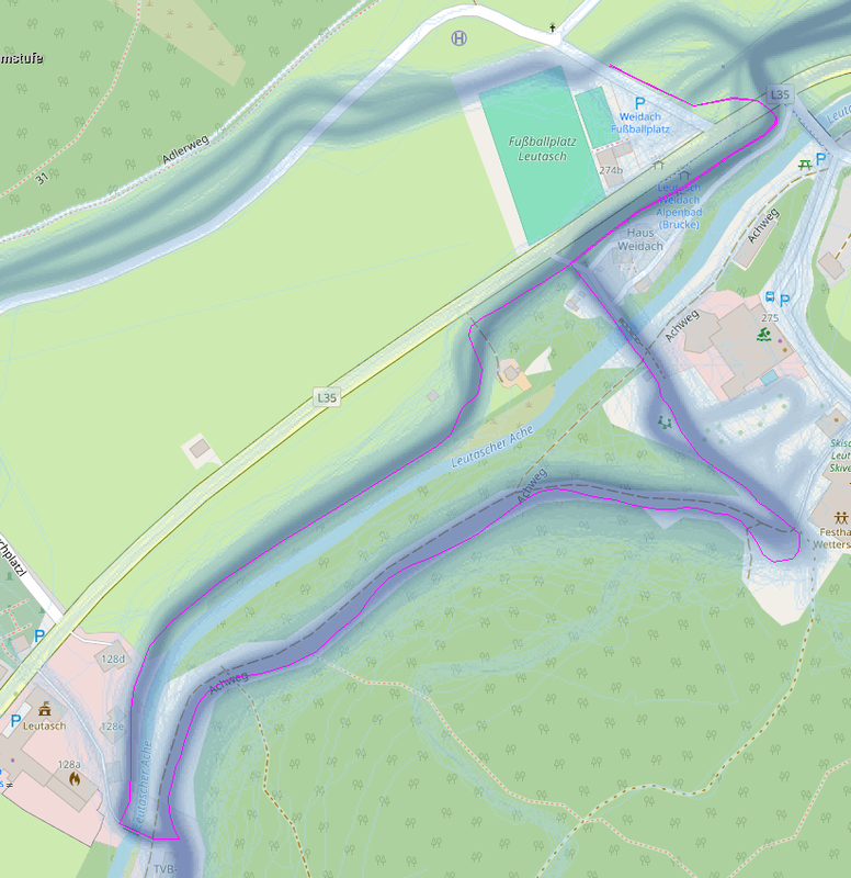
| 146410321 | skoro před 2 lety | Hier noch die Strava Heatmap: https://i.postimg.cc/3xk8CmR8/Snowfarmingloipe-Leutasch.png ich hab die Relation eben wieder angelegt: changeset/146713727 |
| 146410321 | skoro před 2 lety | Hier wurde u.a. die relation/17016957 gelöscht, diese Loipe gibt es aber: https://www.seefeld.com/de/touren/snowfarmingloipe-leutasch.html |
| 145662775 | skoro před 2 lety |
Leider auch 2023 keine Einigung |
| 142193689 | asi před 2 lety | Geht mit dem JOSM reverter plugin ganz einfach -> changeset/142294198 Hab die trail visibility mal auf intermediate gesetzt, schau mir das definitiv noch vor dem Winter vor Ort an. |