OpenStreetMap

SHABANI MAGAWILA's Diary

Recent diary entries

Tips and Trick HOT Internship 2022

Posted by SHABANI MAGAWILA on 31 October 2022 in English. Last updated on 3 November 2022.

Mapping

In this diary, I’m trying to show some tips and tricks which can be used by beginner, intermediate, and advanced mappers to improve their mapping capacity and speed up mapping. Hopefully, you will learn a lot and enjoying with these simple tricks. Have fun, and you can even comment and ask in case you need further assistance and training. Welcome, all!

 Java OpenStreetMap Editor (JOSM) 

[Issue1:] How to Map Batch Orthogonal Building
In this scenario we're going to use Mapathoner Plugin in JOSM to draw a batch of Orthogonal Building. So, first, make sure you install Mapathoner Plugin in your JOSM.

[Issue2:] How to Map Batch L-shaped Building

[Issue3:] Draw a Courtyard Building

Validation

At first, many new mappers make a lot of mistakes during mapping. And, this can be caused by some reasons, such as little experience in mapping. Therefore, this part will guide them on what to do and do not, as well as demonstrate some previous mistakes done by mappers.

Twitter » Website » Facebook

Introduction 

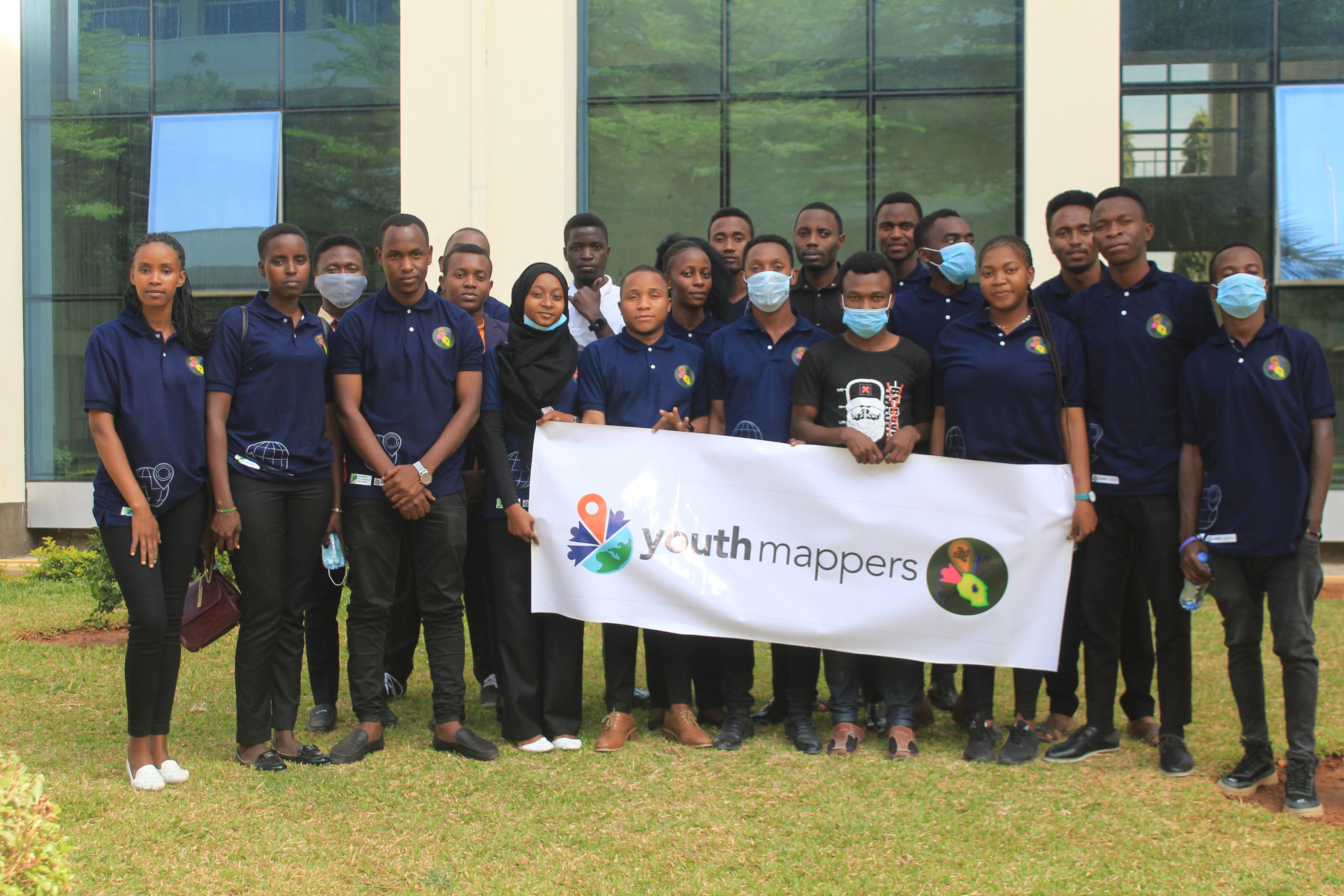
IRDP YouthMappers is the group of students from the Institute of Rural Development Planning engaging in the provision of information related to the Geographical Information System (GIS).

This chapter was established in 2017 at IRDP. It is engaging in exploring various skills and technology which are related to their field and in one way or another can be helpful to their community.

Mnadani Community Mapping Project

IRDP YouthMappers Team formulate and conduct this project so as to reveal and identify various social, physical and environmental problems faced by the people from Mnadani Ward. With Micro Grant from OMDTZ, help IRDP YouthMappers Team to perform the following:

  • Track and address challenges faced by the Mnadani Community.
  • Capacity building to Students and Community Mappers.
  • Community Awareness and Participation.

VulnerableArea

Contribution at State of The Map Africa

During State of The Map Africa @Shabani Magawila as the speaker representing IRDP YouthMappers got the chance to host Swahili Channel at OSM Mapathon on 20/11/2021. On 21/11/2021 also had a session to describe Mnadani Project which was sponsored by OMDTZ.

Date Activity Description
20/11/2021 OSM Mapathon Hosting Swahili Channel in OSM Mapathon
21/11/2021 Mnadani Community Mapping Project Speaker at elaborating about Mnadani Community Mapping Project

But also during State of the Map Africa, I got the chance to participate in other sessions conducted with different organizations and YouthMapper Chapters. Through State of The Map Africa, I learned much about how other Chapters and Organizations perform their works and projects.

Notes from the event

Although we have problems and challenges in our communities, we surely need to find ways and techniques to solve those problems.

Therefore, we need to be involved in formulations of Projects and technologies which have impacts on the development of a community either socially, economically, or Environmentally. Examples of the projects and technologies:

  1. Agricultural and Food Processing Projects

During the event I learned much from Agrithamani and OMDTZ through their projects.

THANKS, SEE YOU 2022!

Location: Dodoma, Dodoma City, Dodoma Region, Central Zone, Tanzania

I was the Organizer of OpenData Day events twice at Institute of Rural Development Planning - Mwanza. The training was conducted on 2nd March 2018 and 2nd March, 2019. Through Women Connect Challenge Project in Serengeti Tanzania. We conducted a one-day OpenStreetMap introductory training and tools for data collection at Institute of Rural Development Planning, located in Bwiru, Mwanza Region Tanzania.

The purpose of the training was to develop the capacity of the students and community members in the use of OpenStreetMap and other tools for data collection.

And also, the training was conducted in order to prepare good initiative for new chapters of Muleba and SETCO which will also contribute in the Women Connect Challenge Project through Crowd2map Tanzania.

The training was about 10 hours, from 8:00 AM to 11:00 PM. Participants were 20 members include 2 from SETCO, 2 from Mugumu, 3 from Muleba, 1 from Dodoma, 1 from Kigoma. And others 11 from IRDP-Mwanza. And we had the following schedule.

On April 10th, 2019, through the Women Connect Challenge project in Serengeti Tanzania, we conducted a one-day OpenStreetMap introductory training at Comenius Polytechnic Institute, located at Tabora Region Tanzania.

The purpose of the training was to develop the capacity of the students in the use of OpenStreetMap and also initiate the creation of a YouthMappers chapter whose members could also contribute to the Women Connect Challenge project through Crowd2map Tanzania.

By ensuring these I got the chance to travel up to Tabora so as to train and setup CPI YouthMapper Chapter made:

  • Introduction to OpenStreetMap and Maps.me
  • ID Editor
  • Open Data Kit (ODK)
  • Java OpenStreetMap (JOSM)
  • QGIS Mapping

Outcomes of the training and next steps.

A copy of the constitution of IRDP YouthMappers was shared with new leadership committee to use as a template to create their own.

A leadership committee was voted by the teachers themselves to steer the chapter forward, first through the registration process. These were the president, vice president and patron. To ensure gender balance, we won to get Female President in this chapter.

A checklist of items to put in place before filling the registration form was shared, these included Drafting the constitution

A list of materials was shared with students so they can continue learning and exploring more about OpenStreetMap. These included the LearnOSM website and links to videos.

Location: Tabora, Tabora Muncipal, Tabora Region, Central Zone, 45102, Tanzania