
Easily Highway map in Bangladesh
Posted by Atikur Rahman atik on 21 April 2021 in English. Last updated on 8 May 2021.Highway mapping is a big confusing thing for most mappers. This is more difficult for those who are new or not connected to the local community. Because, when are adding or mapping local highway information in the Openstreetmap suddenly they found that the local government has one highway classified system and the other side OpenStreetMap has a different classification system. So most of the time they avoid adding roads or did “road = unclassified”. In addition, many times when there is an emergency or remotely mapping highways from different countries they also inadvertently give wrong information. Because they always follow the OpenStreetMaps classification. And it makes a conflict.
So the Local community creates a Highway tag list which is based on the Government’s existing system.
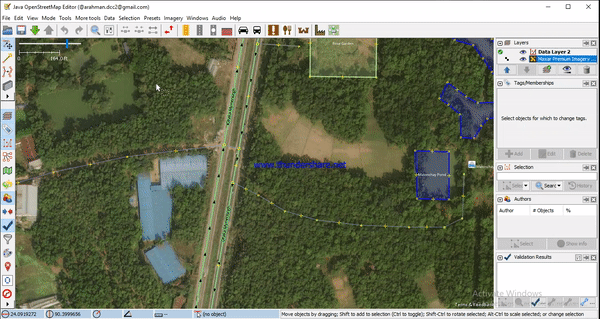
If anyone wants to map by following that tag, he should follow that list or if he wants to do it in JOSM, he can easily draw the highway by adding BD_Highway_tag from JOSM’s preset preference.
How to add the presets:
- First, open the JOSM.
- Then click presets preferences from the top menu. (it will open a toolbar.)
- Then find out the “BD_Highway_tag” presets. (If it not showing on the list then just click the reload icon)
- Then add it on active presets.
- After that click OK.
Now it will be showing in the Active presets list.
OR
https://github.com/josmbd/highways_bangladesh/archive/refs/heads/main.zip
Copy this link and add presets manually.
- This blog is only for Bangladeshi Highway System.* Also For New Mappers.
 Link :
