Loading...
Way: 61423147
Version #4
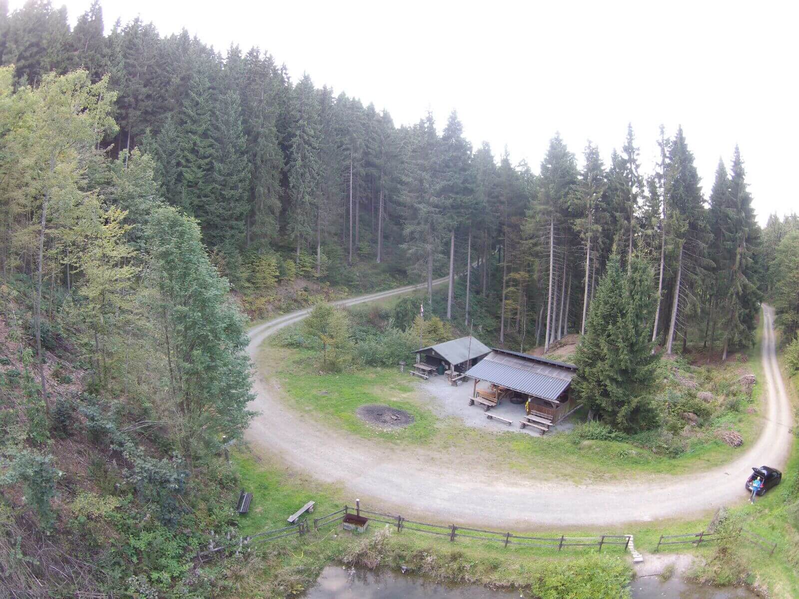
Schutzhütte ergänzt, Waldverlauf und Teich aktualisiert. Recht aktuelles Foto: https://www.groenebach.de/wp-content/uploads/2019/11/Foto-10.jpg
Tags
Part of
2 relations
- Relation Winterberger Hochtour (1844672)
- Relation Grönebacher Dorfpfad (3785295)
Nodes
4 nodes
- 698801981 (part of ways 61423149 and 138560283)
- 8335621645
- 2891091485
- 2310808427 (part of way 222106340)
Welcome to OpenStreetMap!
OpenStreetMap is a map of the world, created by people like you and free to use under an open license.
Hosting is supported by Fastly, OSMF corporate members, and other partners.
| https://openstreetmap.org/copyright | https://openstreetmap.org |
| Copyright OpenStreetMap and contributors, under an open license | |