Loading...
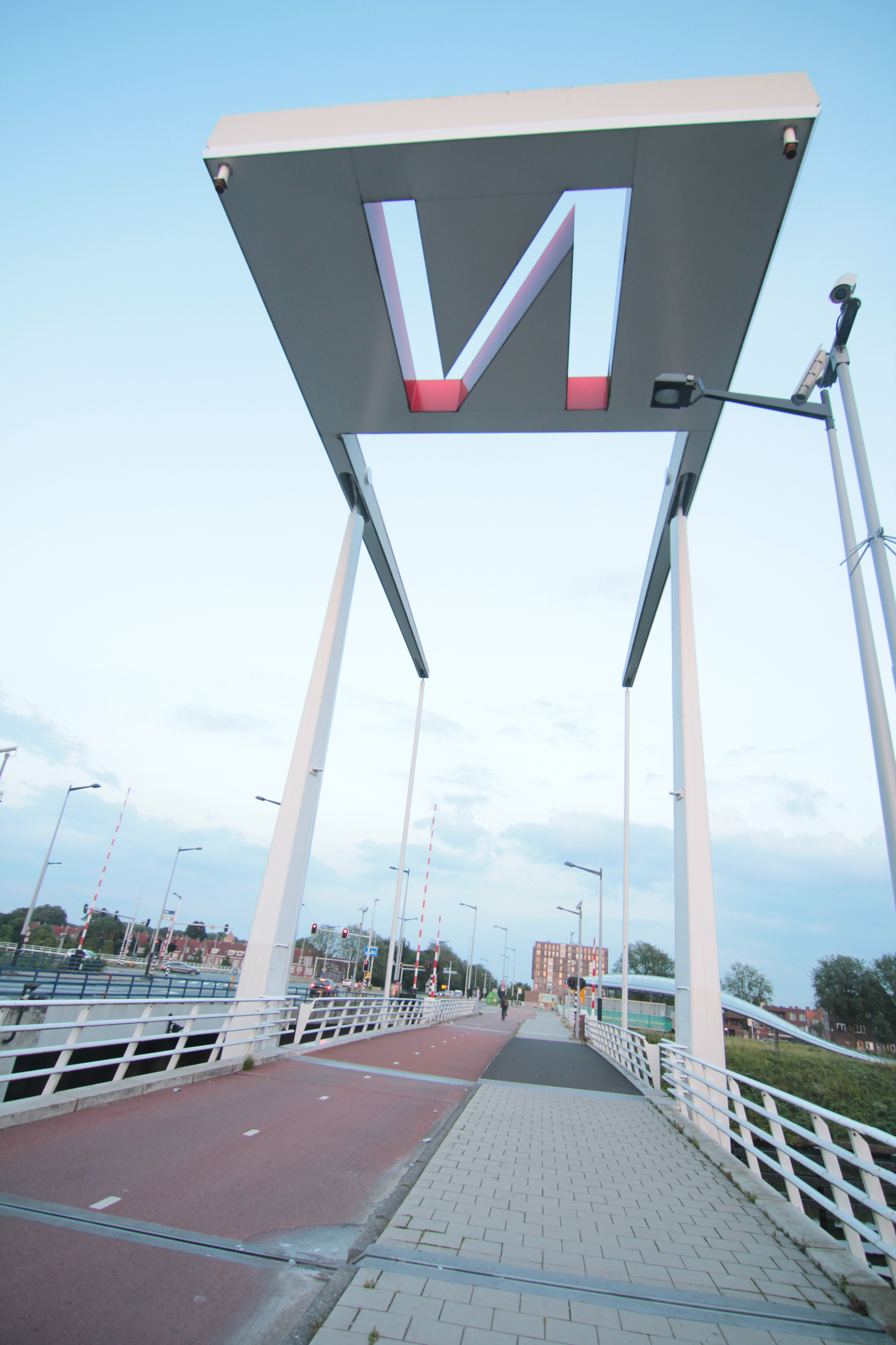
Way: Jip Golsteijnbrug (604753350)
Version #11
#Amsterdam #Noordhollandsch_Kanaal #Lanes #Landuse #BikeFoot #BGT
Tags
| alt_name | Brug zonder naam |
|---|---|
| bridge | viaduct |
| bridge:ref | 968 |
| bridge:structure | beam |
| image | https://upload.wikimedia.org/wikipedia/commons/e/e6/Noorderbrug-AUG2017-1.jpg |
| layer | 1 |
| man_made | bridge |
| name | Jip Golsteijnbrug |
| opening_date | 2013-07-01 |
| start_date | 2011-12-1 |
| wikidata | Q41666915 |
| wikimedia_commons | Category:Brug 968, Jip Golsteijnbrug |
| wikipedia | nl:Jip Golsteijnbrug |
Nodes
12 nodes
- 11280992002 (part of ways 1217494710, Jip Golsteijnbrug (1217494711), and 1217496092)
- 11281019089 (part of ways 1217494710 and 1217496092)
- 5737582501 (part of ways 1216289346 and 1217494714)
- 2391298823 (part of ways 385279886 and 974062676)
- 11269863363 (part of ways 1216289346, 1216289347, 1217512414, and 1217512414)
- 5737582502 (part of ways 1216289346, 604753347, 893183129, 1216289347, and 1217512414)
- 11271121809 (part of way 1217512414)
- 11271121807 (part of way 1217512414)
- 11271121806 (part of way 1217512414)
- 11271121808 (part of way 1217512414)
- 11280992001 (part of ways 1217512414, Jip Golsteijnbrug (1217494711), and Jip Golsteijnbrug (1217494711))
- 11280992002 (part of ways 1217494710, Jip Golsteijnbrug (1217494711), and 1217496092)
Welcome to OpenStreetMap!
OpenStreetMap is a map of the world, created by people like you and free to use under an open license.
Hosting is supported by Fastly, OSMF corporate members, and other partners.
| https://openstreetmap.org/copyright | https://openstreetmap.org |
| Copyright OpenStreetMap and contributors, under an open license | |