Loading...
Way: Place de la République (600326864)
Version #10
Plaques de rues Nantes 7
Tags
| cycleway:right | no |
|---|---|
| highway | primary |
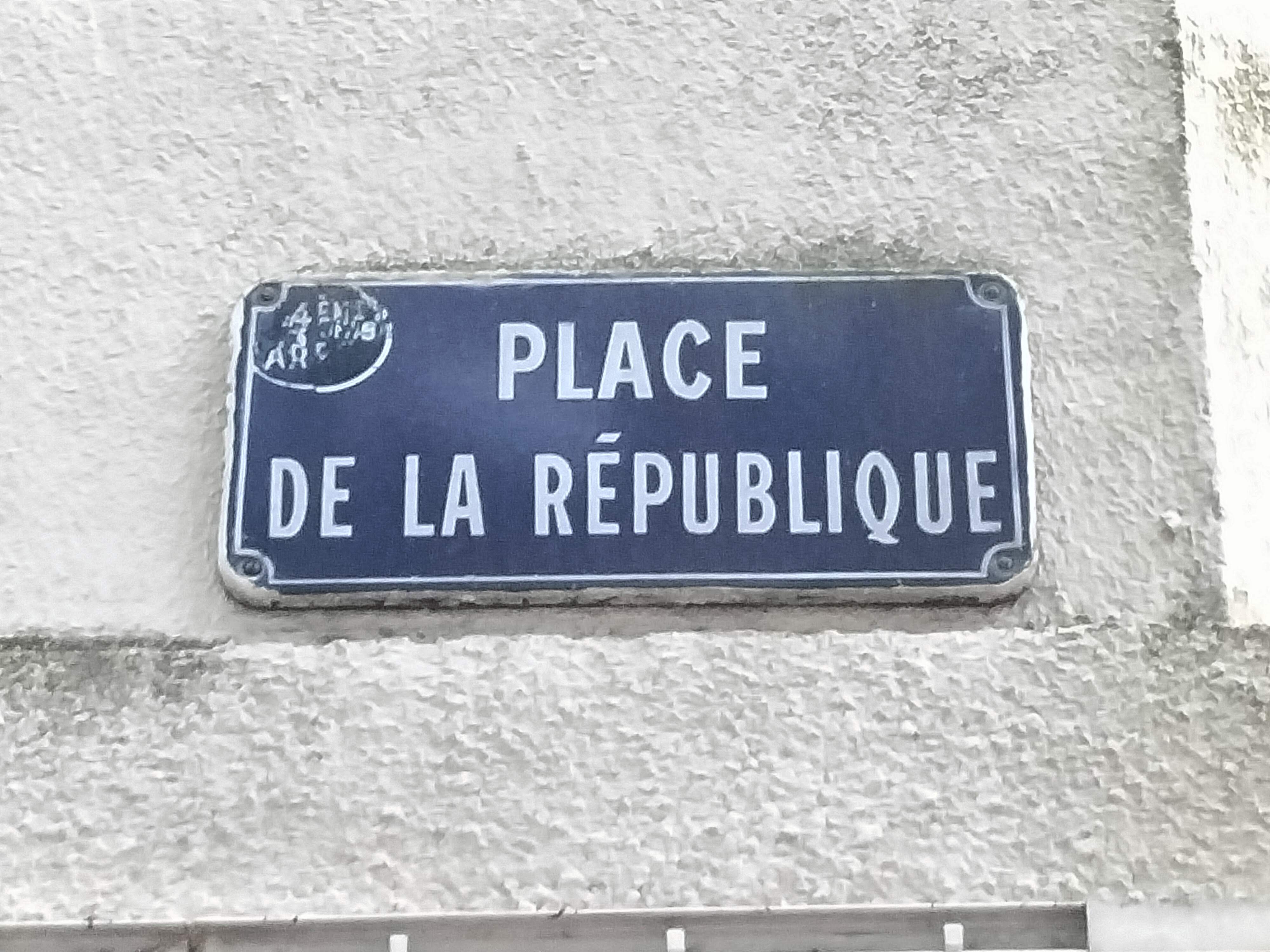
| image:streetsign | https://upload.wikimedia.org/wikipedia/commons/f/f8/Plaque_place_de_la_R%C3%A9publique.jpg |
| junction | roundabout |
| lane_markings | no |
| lit | yes |
| maxspeed | 50 |
| name | Place de la République |
| name:br | Plasenn ar Republik |
| sidewalk | both |
| sidewalk:left:surface | asphalt |
| sidewalk:right:surface | grass |
| smoothness | good |
| source:name:br | proper translation |
| surface | asphalt |
Part of
6 relations
- Relation Place de la République (2055495) (as street)
- Relation Périmètre Zone Apaisée (2378977)
- Relation Luciole Hangar à Bananes → Commerce (7614278)
- Relation NA Commerce → Nantes Atlantique (2166522)
- Relation Continuité cyclable 15 : Île de Nantes Est-Ouest (916656)
- Relation 26 Jonelière → Hôtel de Région (1710423)
Nodes
5 nodes
- 9070299407 (part of ways Rue Julien Grolleau (62691070) and Place de la République (141600388))
- 1557431543
- 1557431656
- 1557431719
- 279634893 (part of ways 331815406, Boulevard Victor Hugo (141600525), and Place de la République (600326863))
Welcome to OpenStreetMap!
OpenStreetMap is a map of the world, created by people like you and free to use under an open license.
Hosting is supported by Fastly, OSMF corporate members, and other partners.
| https://openstreetmap.org/copyright | https://openstreetmap.org |
| Copyright OpenStreetMap and contributors, under an open license | |