Loading...
Way: Rond-Point d'Aéroconstellation (141282469)
Version #12
Determine roads lane count
Tags
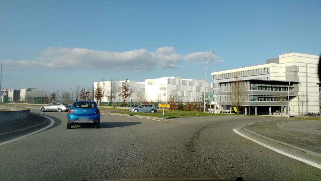
| highway | tertiary |
|---|---|
| image | http://storage11.openstreetcam.org/files/photo/2019/2/19/lth/1342511_3_9139f_14.jpg |
| junction | roundabout |
| lane_markings | no |
| lit | no |
| maxspeed | 50 |
| name | Rond-Point d'Aéroconstellation |
| parking_lane | none |
| source:maxspeed | FR:urban |
| surface | asphalt |
| survey:date | 2019-02-19 |
Part of
3 relations
Nodes
3 nodes
- 338451163 (part of ways M 902a (749814505) and Rond-Point d'Aéroconstellation (1014421748))
- 1546586294
- 1579752369 (part of ways Rond-Point d'Aéroconstellation (616124229) and Avenue d'Andromède (144434182))
Welcome to OpenStreetMap!
OpenStreetMap is a map of the world, created by people like you and free to use under an open license.
Hosting is supported by Fastly, OSMF corporate members, and other partners.
| https://openstreetmap.org/copyright | https://openstreetmap.org |
| Copyright OpenStreetMap and contributors, under an open license | |