ABausD's Notes
Notes submitted or commented on by ABausD
| Id | Creator | Description | Created at | Last changed | |
|---|---|---|---|---|---|
| 5097327 | ABausD | Das ganze Viertel ist Fahrradstraße via StreetComplete 62.1 Attached photo(s):
|
|||
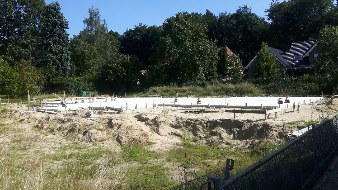
| 3828212 | ABausD | Neubau via StreetComplete 53.3 Attached photo(s):
|
|||
| 5131483 | ABausD | In context of overlay "Things" – Elsässer Straße (Bus Stop) – node/286367923 via StreetComplete 62.1: Unterstellmöglichkeit existiert nicht mehr, nur Haltestellenschild mit Abfalleimer |
|||
| 5131482 | ABausD | Diese beiden frei stehenden Gebäude existieren nicht mehr. Es wird ein Neubau direkt an der Haus Nr. 8 gebaut. via StreetComplete 62.1 |
|||
| 5131481 | ABausD | Doppelhaus 9 und 10, Eingang jeweils an der Seite via StreetComplete 62.1 |
|||
| 5099545 | ABausD | Weg beginnt am oberen Ende der Treppe und endet am unteren Ende. via StreetComplete 62.1 Attached photo(s):
GPS Trace: @ABausD/traces/12137296 |
|||
| 5099546 | ABausD | Zufahrt zum Parkplatz via StreetComplete 62.1 Attached photo(s):
GPS Trace: @ABausD/traces/12137297 |
|||
| 4497343 | ABausD | Benutzundspflichtiger gemeinsamer Fuß und Radweg, Pflastersteine via StreetComplete 59.2 GPS Trace: @ABausD/traces/11492096 |
|||
| 4497344 | ABausD | Wie zuvor, Fußweg und Radweg via StreetComplete 59.2 GPS Trace: @ABausD/traces/11492097 |
|||
| 5074183 | Hier können EBikes an einer Ladesäule aufgeladen werden |