*abq*'s Notes
Notes submitted or commented on by *abq*
| Id | Creator | Description | Created at | Last changed | |
|---|---|---|---|---|---|
| 4978807 | Sjord | path doesn't exist #OsmAnd |
|||
| 3193059 | B31 is not suitable for cycling, extremely dangerous due to heavy traffic and fast cars on two lanes. No cycling path.
|
||||
| 3932965 | Ze0zohk1 | Irgendwo hier steht ein Gebäude. via StreetComplete 54.1 Attached photo(s):
|
|||
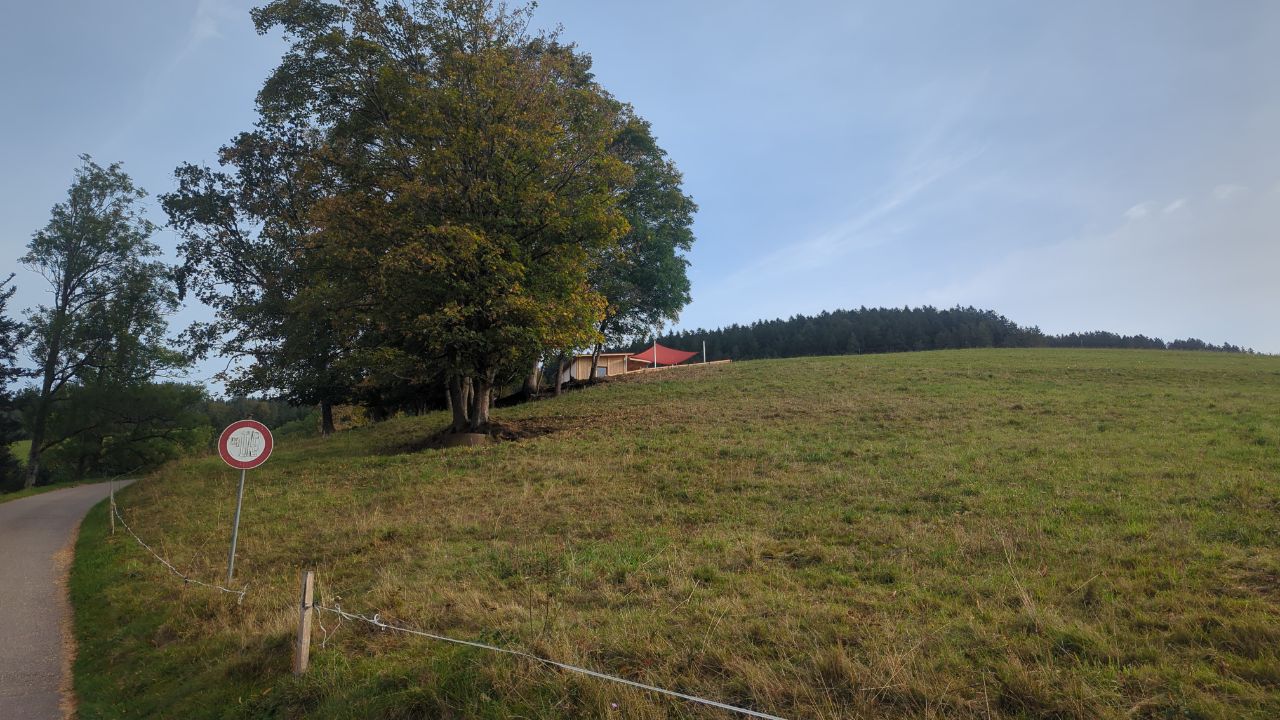
| 4930136 | tubajoe | Unable to answer "What type of barrier is this?" – Barrier (Unspecified Type) – node/2441642435 via StreetComplete 61.2: Brücke, die eine Durchfahrt unmöglich macht. |
|||
| 4971450 | Privatgelände und Schutzgebiet Auerhahn |
||||
| 4966957 | Der Weg zwischen den beiden Höfen (Schürlebuck, Helmiseckweg Nr. 3) ist nicht asphaltiert. |
||||
| 5042151 | zimosm | Pfad existiert hier nicht via StreetComplete 61.3 |
|||
| 4841742 | Sitzbank |
||||
| 4841749 | Sitzbank |
||||
| 4841744 | Sitzbank |