Loading...
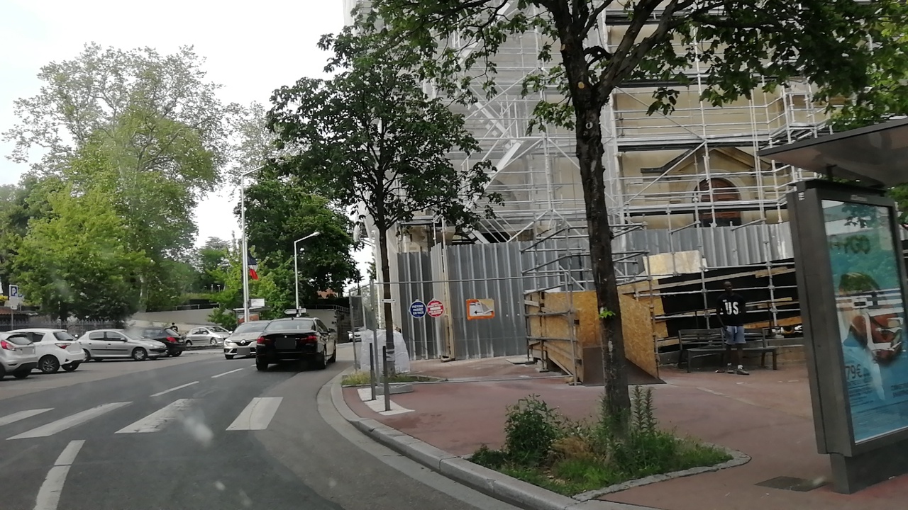
Node: Sainte-Foy Église (4643197602)
Version #4
FR : actualisation survey
- Edited by JLZIMMERMANN
- Changeset #107316630
- Location: 45.7365404, 4.8050646
Tags
| bench | yes |
|---|---|
| bin | yes |
| bus | yes |
| highway | bus_stop |
| image | https://storage11.openstreetcam.org/files/photo/2019/6/25/lth/1566337_7946f_5d12618133063.jpg |
| name | Sainte-Foy Église |
| network | TCL |
| public_transport | platform |
| ref:FR:TCL | 2926 |
| route_ref | 17B:R,C19A:R |
| shelter | yes |
| source | SYTRAL 12/2016 |
| survey:date | 2021-07-02 |
| wheelchair | yes |
Part of
4 relations
- Relation C19 : Francheville Taffignon ⇒ Perrache (7542079) (as platform)
- Relation Sainte-Foy Église (6927141) (as platform)
- Relation 17 : Saint-Genis Lycée Descartes ⇒ Sainte-Foy Place Saint-Luc (8310270) (as platform)
- Relation 17 : Saint-Genis 2 ⇒ Sainte-Foy Place Saint-Luc (8310271) (as platform)
Welcome to OpenStreetMap!
OpenStreetMap is a map of the world, created by people like you and free to use under an open license.
Hosting is supported by Fastly, OSMF corporate members, and other partners.
| https://openstreetmap.org/copyright | https://openstreetmap.org |
| Copyright OpenStreetMap and contributors, under an open license | |