Loading...
Node History: 4618180400
Version #2
Patrimoine agropastoral
- Edited by Eicc
- Changeset #45338484
- Location: 44.2991121, 3.5394620
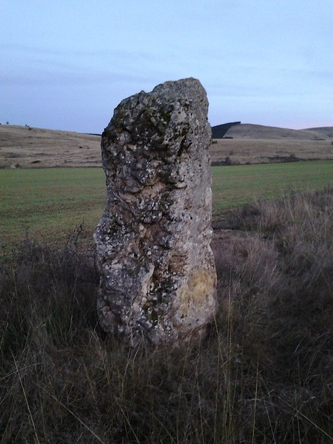
Tags
| historic | archaeological_site |
|---|---|
| historic:fr | Menhir |
| image | https://farm6.staticflickr.com/5571/30407519384_b10e16f3c8_z_d.jpg |
| megalith_type | menhir |
| project | Causses&Cévennes |
| source | cartoparty_20161119 |
Version #1
Saisie cartoparty Vébron
- Edited by Eicc
- Changeset #45295353
- Location: 44.2991121, 3.5394620
Tags
Welcome to OpenStreetMap!
OpenStreetMap is a map of the world, created by people like you and free to use under an open license.
Hosting is supported by Fastly, OSMF corporate members, and other partners.
| https://openstreetmap.org/copyright | https://openstreetmap.org |
| Copyright OpenStreetMap and contributors, under an open license | |